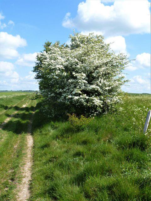
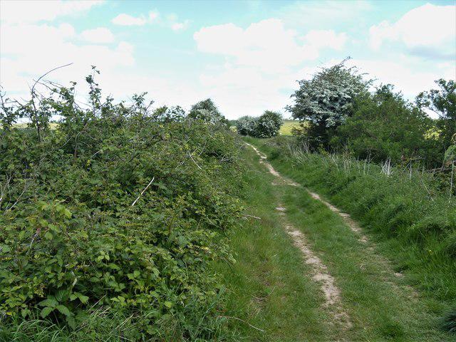
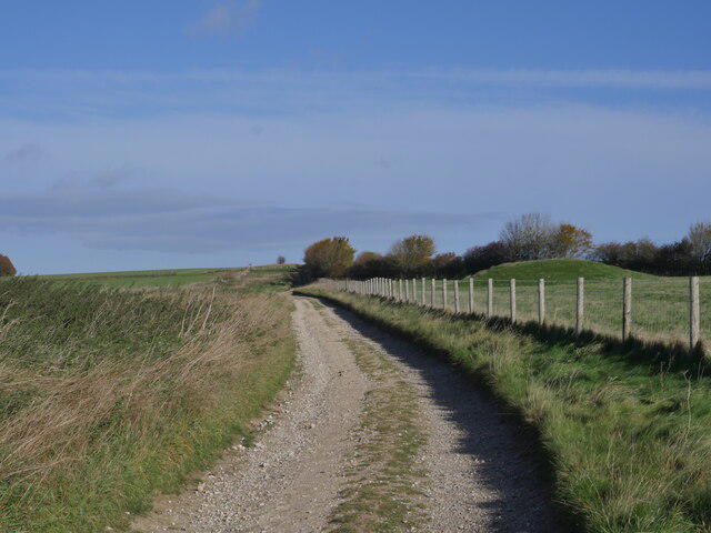
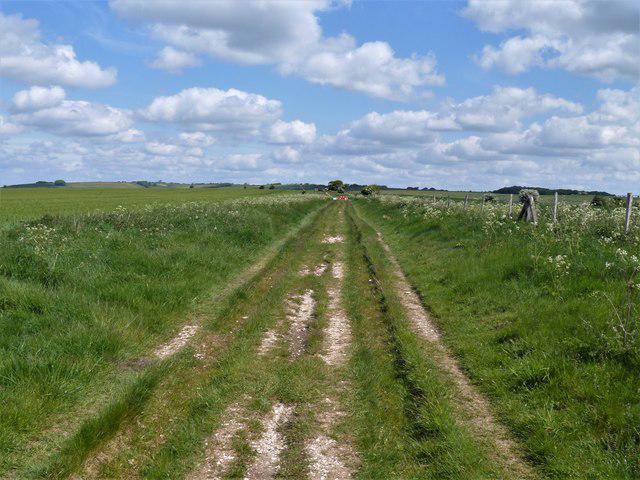
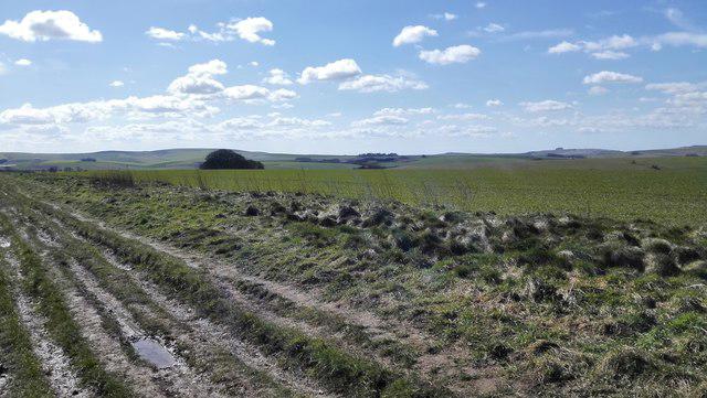
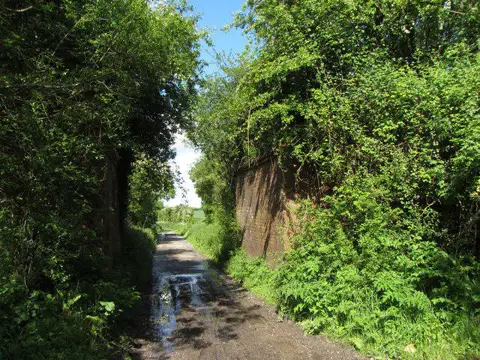
Walk the opening Ridgeway stage from the Overton Hill trailhead across open chalk country to Ogbourne St George. The broad track rises towards Hackpen Hill, continues to the earthworks of Barbury Castle and then follows Smeathe’s Ridge down towards the Og valley. This is a linear 14.7 km countryside walk with a long open outlook rather than a summit scramble. Allow 4–5 hours before breaks. Do not mistake the wide byway for a smooth surface: the trail authority warns of severe ruts over about three miles near Avebury, and wet chalk and mud can make progress slow. Bring grippy footwear, weather protection, food, water and a map. Finish at the western village road junction; arrange a lift or taxi and any onward village walking separately before setting off.
Start and finish
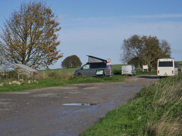
Start at the mapped Ridgeway trailhead inside the north-side A4 car park, 51.4117361,-1.8305969. Follow the signed track north. The 28 m approach from the A4 junction is outside the plotted route; walkers are not directed to stand in the A4 carriageway.
Finish at 51.4696671,-1.7243368, where Chiseldon Road bends east into Ogbourne St George and the Ridgeway continues south on a track. Stop clear of traffic. This is a selected, identifiable western village junction on the main trail; the village centre and bus stops lie outside the plotted route.
Travel and parking
The National Trust identifies this car park off the A4 at grid reference SU 11876 68114; nearest postcode SN8 1QG is a locator, not a precise access point.
Current parking charges have not been confirmed; check signs on arrival.
Opening/barrier hours, overnight permission, event restrictions and space availability not verified. Do not block farm or emergency access.
No trailhead toilet availability verified; plan before arrival.
Prearrange a lift or taxi between the trailhead and Ogbourne St George; choose a safe legal pickup place, not the carriageway at the junction. If relying on buses, independently verify travel-date services, stop location and the additional public-road approach before setting off.
Parking manoeuvres, village-centre or bus-stop approaches and motorised return are outside the 14.705 km route.
Terrain and access
The official live map warns of badly rutted surface for approximately three miles near Avebury, overlapping the early part of this stage. This is not a reported walking closure, but it can be awkward and slow. Watch footing, avoid deep ruts and postpone if mud, ice or standing water makes progress unsafe.
Open downland has little shelter. Carry waterproofs, warm layers, drinking water and food; use sun protection in hot weather. Check wind and weather forecasts before setting out and allow enough daylight.
This itinerary has not been assessed for wheelchair or mobility-vehicle access. Severe ruts, uneven chalk/grass/gravel surfaces, slopes, gates and kissing gates may present significant barriers; seek current accessibility advice for your equipment. Barbury’s walking line uses pedestrian gates; do not follow a locked vehicle gate or assume the carriage-driving bypass is the walking route.
Expect cyclists, horses, agricultural vehicles and lawful motor traffic on some byways. Give others space, wait where visible and never assume seasonal motor restrictions make a track vehicle-free.
Take care at the Hackpen Hill road crossing, Barbury access-road crossing and the short Chiseldon Road finish. Some road stretches have no separate pavement. Stay visible, use available verges/pavements and follow signs; road-centreline data is not an instruction to walk down the middle of the carriageway.
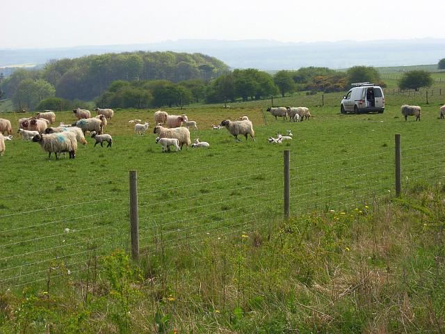
Keep dogs under close control and on leads around livestock; close gates and stay on the public route. Protect the hillfort earthworks rather than cutting steep banks or creating new paths.
The A4 beside the start is a fast road. This route starts north of it and requires no A4 crossing; do not improvise an approach along its verge or cross for an unplanned detour.
Official trail map notices checked 23 October 2026 show the near-Avebury ruts warning, with no walking closure listed on this stage. The Barbury restriction on motor vehicles does not close the walking route. These checks do not guarantee every temporary order or obstruction is listed; obey fresh signs and check current council notices before travel.
Before you go
Check current route notices, weather and local signs before travelling. This route has not been field-inspected by Walkmates; path surfaces, access and facilities can change. Exact ascent is not verified for this plotted line.
Route information
https://www.nationaltrail.co.uk/en_GB/trails/the-ridgeway/route/
Map data: © OpenStreetMap contributors, licensed under the Open Database Licence (ODbL). https://www.openstreetmap.org/copyright