
Countryside
PointToPoint
Easy
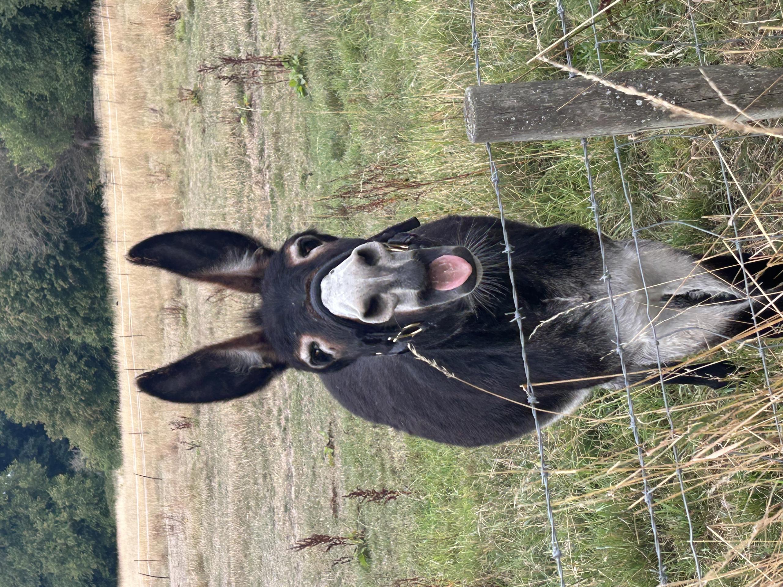
Donkey Walk
Alison65
Walk organiser
No comments yet. Be the first.