
![SU1064 : From Stanton St Bernard to Wansdyke and return [29]](https://cdn.walkmates.com/gallery-images/5f10be1b78dd4ba88c55f9f1bbb583d8.jpg)
![SU1064 : From Stanton St Bernard to Wansdyke and return [38]](https://cdn.walkmates.com/gallery-images/39da1bd18afe423a8889d2f6d8c46014.jpg)
Countryside
PointToPoint
Easy
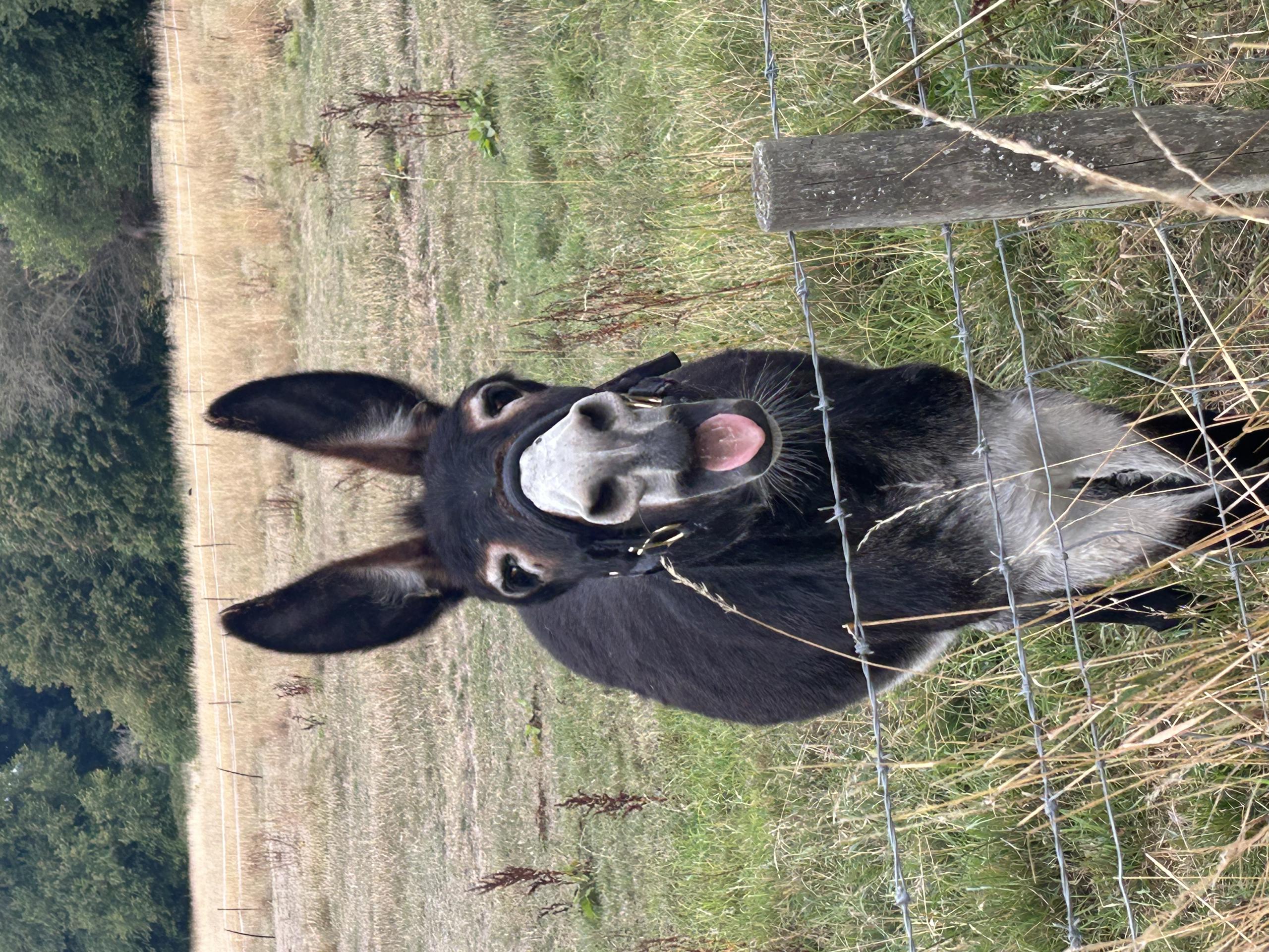
Donkey Walk
Alison65
Walk organiser
No comments yet. Be the first.