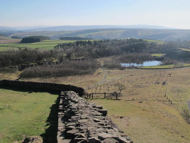
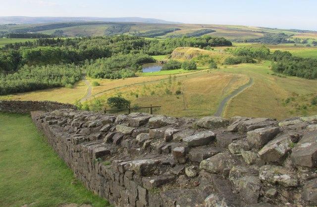
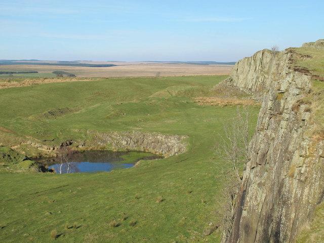
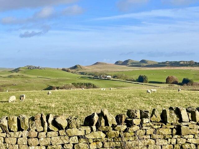
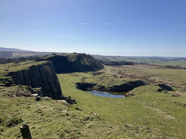
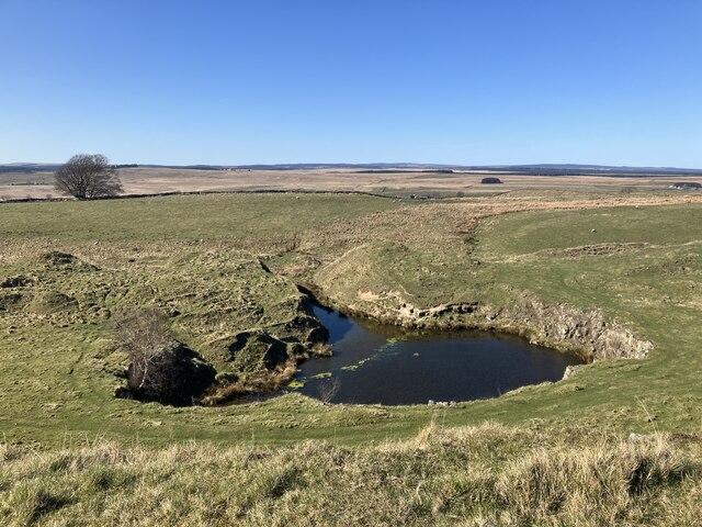
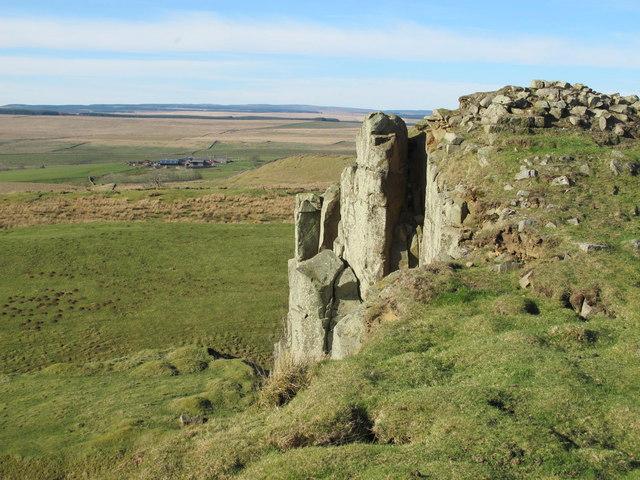
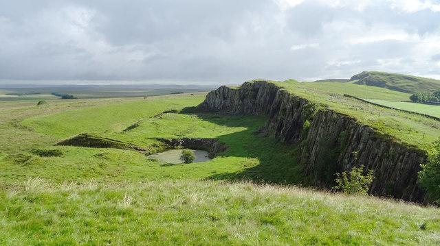
A short out-and-back linking Walltown's former quarry with the rocky ridge followed by Hadrian's Wall. The contrast is the point: a worked industrial landscape below, then open country and Roman remains above.
The quarry supplied hard dolerite for roads. Its restored ground now contains ponds and walking paths, while remaining rock faces and the neighbouring crags help explain the landscape. Look from the path rather than approaching the faces; trees can obscure some exposures. The ridge is part of the Whin Sill, an intrusion of igneous rock that proved more resistant to erosion than much of the surrounding ground.
From the park path beside the visitor centre, follow the mapped National Trail line through the quarry park and uphill onto Walltown Crags. Continue east on the trail past the vicinity of Turret 45A to the path beside the Milecastle 45 site, then return by precisely the same route. Stay on the signed path and follow any local diversions rather than the downloaded line. The Roman Army Museum is a separate attraction, not part of this route.
Distance: approximately 2.7 km out and back. Allow: 75–105 minutes with pauses (estimate). Short does not mean level: the upper section has uneven turf, climbing and exposed ground. It is not presented as wheelchair- or pushchair-accessible.
Visit during daylight. Do not smoke or vape, light fires, or use barbecues. Keep well back from quarry and crag edges, do not climb the Wall or rock faces, and do not swim in the park ponds. Livestock may be present; keep dogs under close control and follow signs. Avoid the exposed section in strong winds, ice or poor visibility. Wear suitable footwear and take waterproofs.
Use Walltown Country Park's paid car park and the path beside the National Park Centre. Toilets are listed as available year-round; the visitor centre is seasonal, so do not rely on refreshments outside its opening season. The Go North East 122 bus, formerly AD122, serves Walltown; check the current timetable and return service before travelling.
Sources and current visitor information: Northumberland National Park, English Heritage and Go North East 122. Map data © OpenStreetMap contributors, ODbL 1.0.