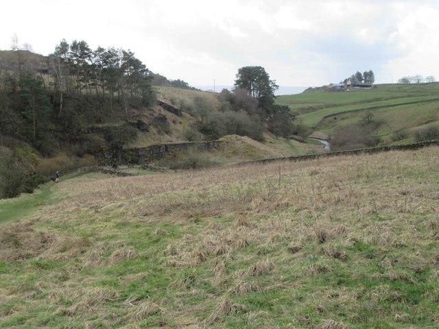
Follow the established Haltwhistle Burn valley path on a 2.90 km out-and-back from its junction with Willia Road. The route crosses three mapped footbridges and turns on the path near Fell Chimney, then retraces the same route. The approach to the start is extra and is not included. This guide does not designate a car park or promise parking at the junction.
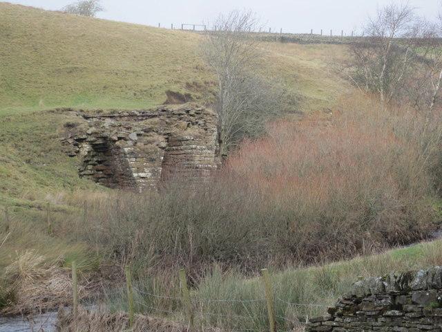
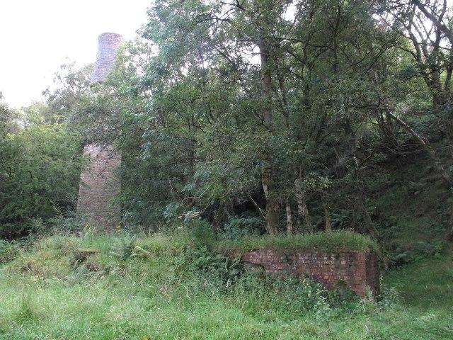
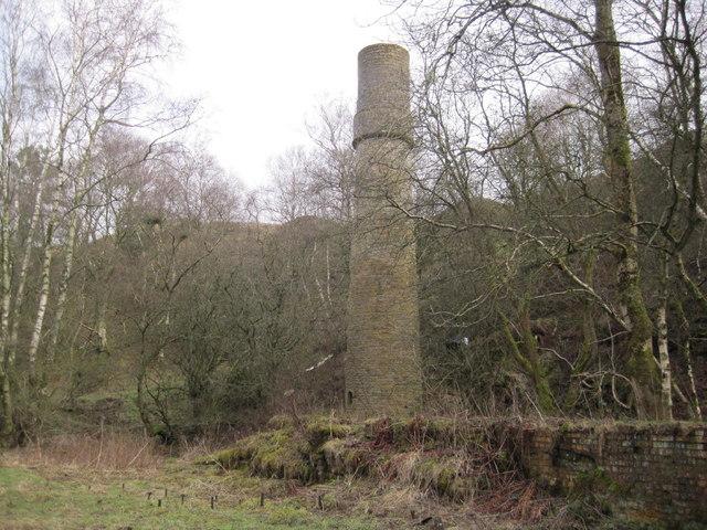
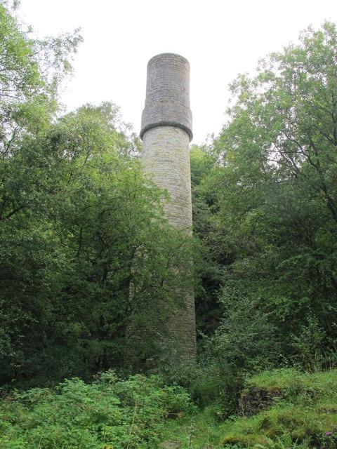
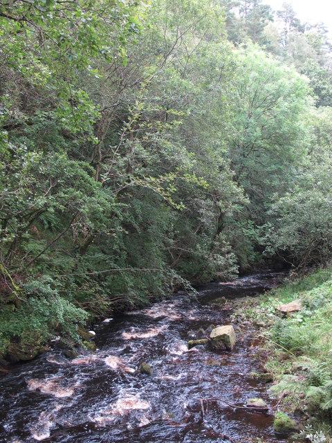
The wooded gorge links geology with the industries that once used its stone and coal. The local Partnership's geology guide describes sandstone and coal observations from the pathway. Look at the valley from the established path: vegetation, water levels and seasonal conditions affect what can be seen. The turn is near the former mine chimney, not at its base, and an unobstructed view of the ruin is not guaranteed.
Allow around 75 minutes, or roughly 60–90 minutes with stops; this is an estimate. Ascent has not been verified. Surfaces may be muddy or slippery, with leaf litter, gates and exposed waterside edges. Current widths, gradients and barriers have not been audited, so no step-free or wheelchair-accessibility claim is made.
The route follows a publicly promoted visitor walk; this is not a claim that every part of the upper path is recorded as a definitive public right of way. Follow local signs. Keep children and dogs away from water and unstable edges. Stay on the established path, use the bridges, and do not enter ruins or old mine openings, climb exposures or collect rock. If high water, strong winds, damage or closure signs make the route unsuitable, turn back; never improvise a river crossing or riverbank bypass. A mapped bridge is not a guarantee of its present condition.
Sources: Haltwhistle Partnership's Burn walk, geological background and geology leaflet. Route geometry: © OpenStreetMap contributors, ODbL.