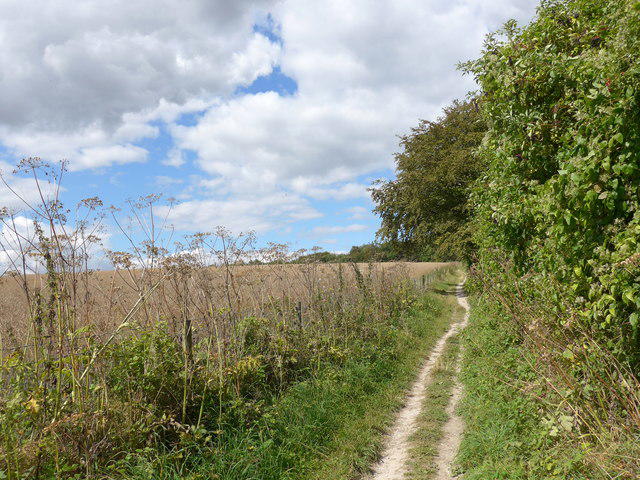
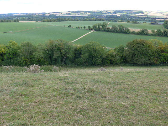
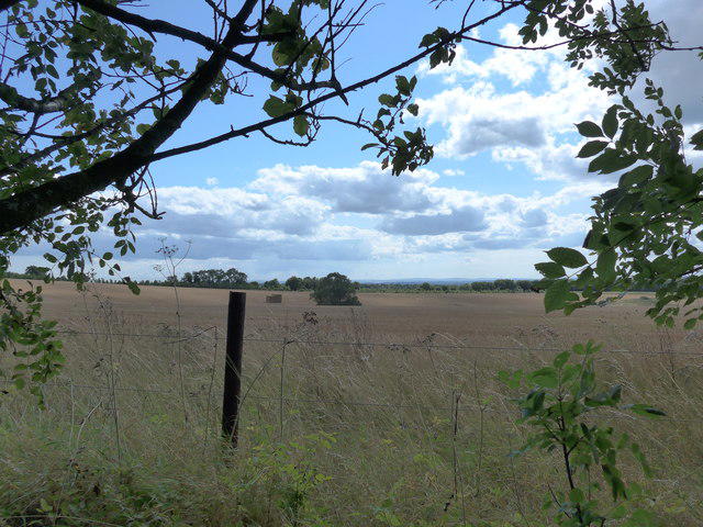
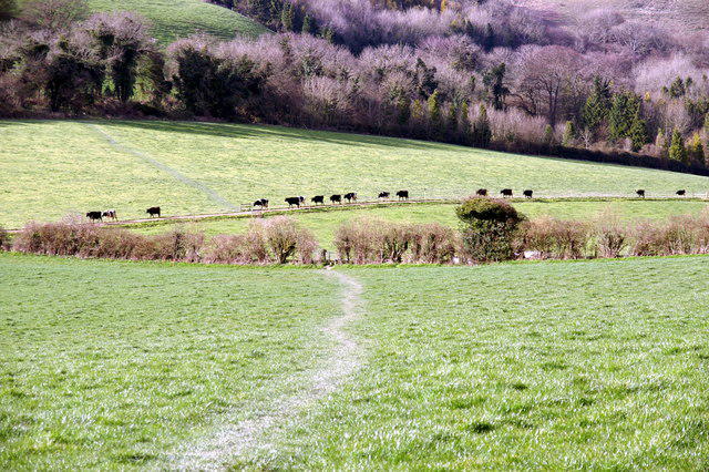
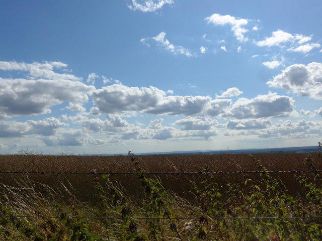
Image shared for South Downs Way: Winchester to Exton via Beacon Hill
Countryside Point to point

South Downs Way: Winchester to Exton via Beacon Hill

Walk

Hampshire

Distance
12.6 mi
Est. time
6h 30m
Difficulty
Hard
PaulWalkmates Route by PaulWalkmates

Save the route to find it later. Follow it to hear when a date is added.

Joining information

Commercial status
Noncommercial organiser
Booking
No booking required

About this walk

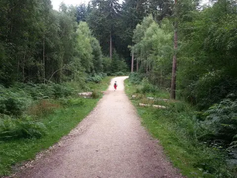
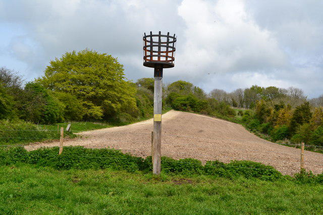
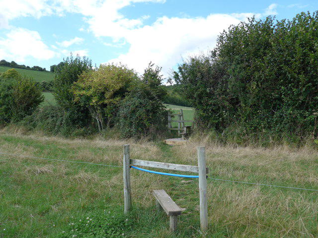
Start at the Old Station Approach pedestrian exit from Chesil Street Multi Storey in Winchester. Follow the pavements to City Mill and join the South Downs Way beside the River Itchen. Continue through the city streets, cross the M3 by footbridge and take the walking route through Chilcomb. Chalk tracks lead over Cheesefoot Head and Gander Down, then lanes and field paths continue to Beacon Hill. Take the walkers-only descent with its stiles into Exton, finishing along Shoe Lane by The Shoe Inn.

Allow six and a half to seven hours with breaks for this long linear walk. The downland is open to wind and changing weather, and chalk can become very slippery when wet. Expect hills, a steep final descent, stiles, gates and some road walking without pavements. Cross the A272 carefully at both signed trail crossings. Use the pavements in Winchester, and take care around vehicles on rural lanes and Shoe Lane. Keep dogs controlled around livestock, carry water and leave enough daylight.

Chesil is public pay-and-display parking with a 24-hour maximum stay, currently £7.30 for more than four hours during charging times. Vehicle restrictions and current signs apply. Drive to the car park entrance from Barfield Close; the walk starts at its northern pedestrian exit. Arrange a lawful pickup or taxi from Exton before setting out. Pub facilities depend on opening and customer use; no pub parking permission is assumed. Follow current walking diversions and check local works at Chilcomb. Do not follow an A31 vehicle diversion on foot or attempt to pass a closed path.

Map data © OpenStreetMap contributors: https://www.openstreetmap.org/copyright

Walk details

County
Hampshire
Walk type
Point to point
Category
Countryside
Distance
12.6 mi (20.2 km)
Est. time
6h 30m
Explorer
Yes, off the beaten track

Route map

Use the route details to plan your walk

If the map image does not load, the route description and starting-point details are still on this page.

The interactive map will load when you reach this section.

Where to start

Directions to start

Walking on your own?

Start when you're ready and add the walk to your history. No group date needed.

This walk is waiting for a date

Not ready to pick a date? Follow it and you'll hear when somebody else does.

No commitment. You can follow it now and pick a date later.

Along the route

19 places
The Chesil Rectory
Restaurant · 0.1 mi along
No 5 Bridge St.
Restaurant · 0.1 mi along
Bridge Patisserie
Cafe · 0.1 mi along
21 Sushi
Restaurant · 0.1 mi along
Winchester Mini-Market
Shop · 0.1 mi along
The Bishop On The Bridge
Pub · 0.1 mi along
Allan King's Way
Guidepost · 0.3 mi along
Black Boy
Pub · 0.4 mi along
The Black Rat
Restaurant · 0.5 mi along
Parking
Essentials · 0.6 mi along
Drinking Water
Essentials · 4.6 mi along
Drinking Water
Essentials · 7.0 mi along
The Milburys
Pub · 8.5 mi along
Parking
Essentials · 8.5 mi along
Drinking Water
Essentials · 10.1 mi along
Beacon Hill Viewpoint
Parking · 10.8 mi along
Beacon Hill
Peak · 11.1 mi along
Parking
Essentials · 12.6 mi along
The Shoe Inn
Pub · 12.6 mi along

Terms of Service

Joining a walk

A few things to know before you make plans.

Can I join if no one else is going?

You can be the first to join a scheduled walk. A suggested date is an idea for a group walk; choose Set this date up to organise it. Check the participant list and meeting details before setting off.

What if there is no date yet?

Choose Put a date on this walk to organise a group walk. Not ready to choose a day? Follow the route for scheduling updates, or save it for later.

What does the organiser do?

The organiser sets the date and meeting details and helps the group get started. They are a fellow walker and may be new to the route too.

Each walker is responsible for their own safety and navigation. Check the route, weather, equipment and whether the walk suits your experience and fitness.

Can I walk this route on my own?

Yes. Choose Walk this route on your own to open the start screen, then start when you are ready. Finish the walk to add it to your walking history. You do not need a group date.

What happens after I join?

Use the walk page to check meeting details, updates and who is going. Check in from 24 hours before the start to let the group know you still plan to come.

How do I confirm plans with the group?

Check the participant list and check-ins, and message the organiser or other walkers to confirm where to meet and who is coming. This is especially useful when the group is small.