Follow the waymarked St Cuthbert's Way from Morebattle to Kirk Yetholm across the grassy northern foothills of the Cheviots. The ridge of Wideopen Hill gives open views over the Borders, with the Eildon Hills to the west and the higher Cheviots to the south. This is a one-way walk, so arrange your return before setting out. Allow about 3 hours 30 minutes for the hills and stiles.
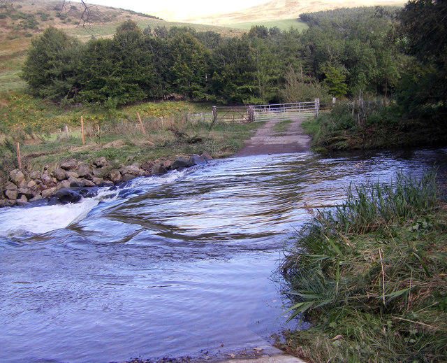
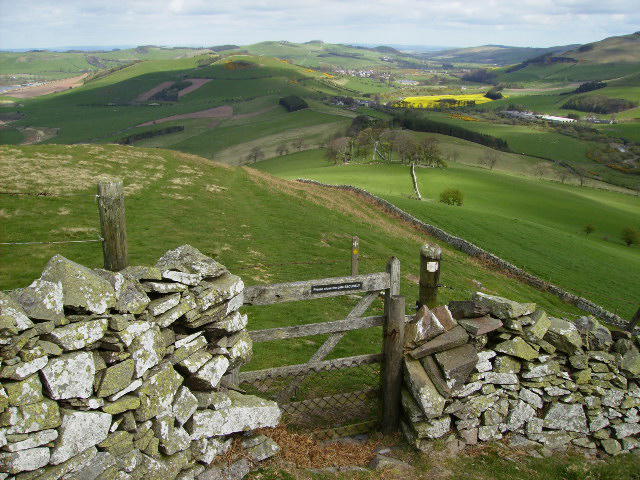
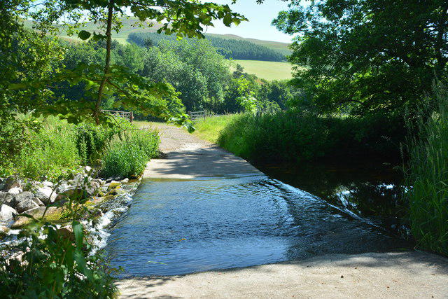
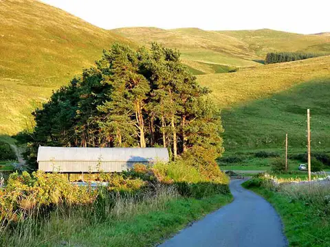
Start on Main Street in central Morebattle, where the council walking guide recommends on-street parking. Use a lawful space clear of junctions, entrances and bus stops and check local restrictions. Follow the trail east, then turn onto the lane signed Hownam. Beyond Corbet Tower, turn right beside the Kale Water and use the signed footbridge just beyond the ford. Keep to the footbridge rather than the vehicle ford. The track zigzags uphill towards the plantation, then passes through gates onto the open hillside below Grubbit Law.
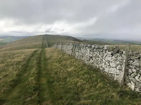
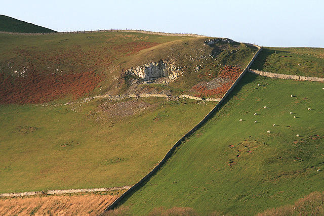
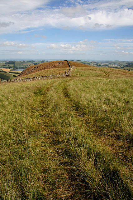
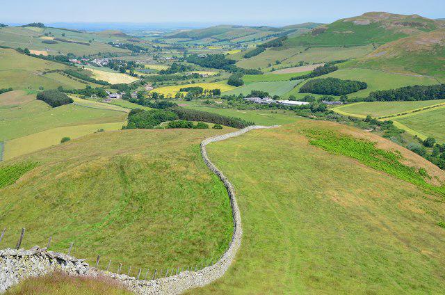
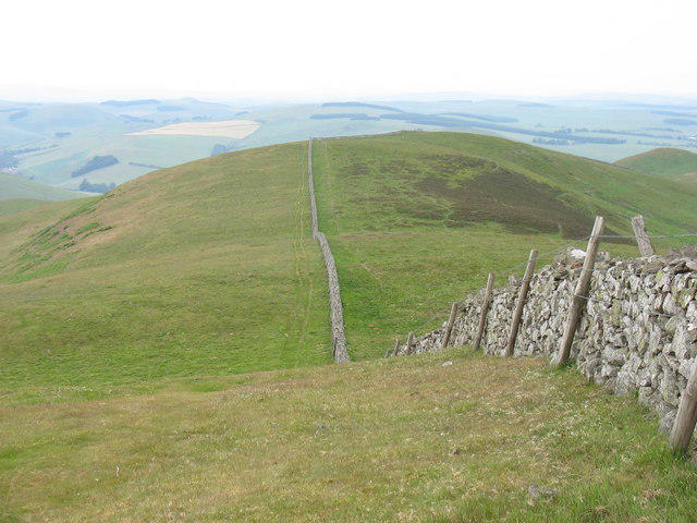
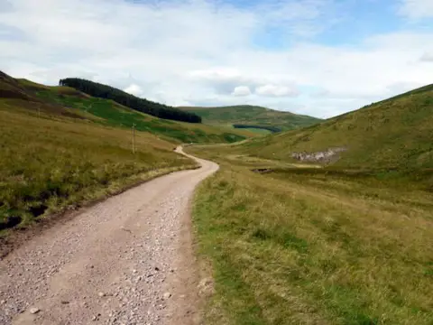
Follow the St Cuthbert's Cross waymarks along the ridge and stone wall to Wideopen Hill, about 368 metres above sea level. Continue along the wall over the Crookedshaws ridge, using the marked stiles and gates, then descend to the grassy lane. Turn left on the public road and continue north through Primsidemill. The official trail includes roughly 650 metres on the B6401 before turning off by the cemetery. This is road walking with traffic, so keep alert and do not expect a continuous pavement.
From the cemetery lane take the track towards Bowmont Water, then the riverside field path to the bridge between Town and Kirk Yetholm. Cross the road bridge and descend the steps on the far side. Follow the waymarked field path into Kirk Yetholm and finish at The Green, beside the Border Hotel and the northern end of the Pennine Way. Shops and public toilets are available in Morebattle and Town Yetholm; carry food and water for the hill section and check refreshment opening hours.
There are steep grassy climbs and descents, ladder stiles, short boardwalks, muddy field paths and livestock. The open ridge has little shelter and can be difficult in strong wind, poor visibility, ice or heavy rain. Choose a suitable weather day, carry a detailed map and waterproofs, and keep dogs under close control around stock. The river fields can flood after heavy rain.
Service 81 links Kirk Yetholm, Morebattle and Kelso Monday to Saturday. Check the current council timetable and direction of the circular service before relying on a return journey; arrange a taxi or second vehicle when the service does not suit.
Route and access information: St Cuthbert's Way route authority, Scottish Borders Council Paths Around Kelso and adopted core path maps, and Rucksack Readers' St Cuthbert's Way roadbook. Transport: Scottish Borders Council Service 81 timetable. Checked October 2026.