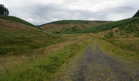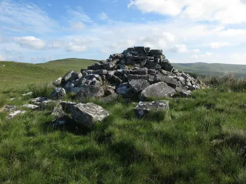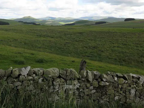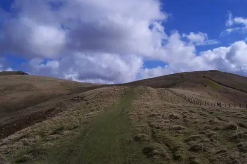
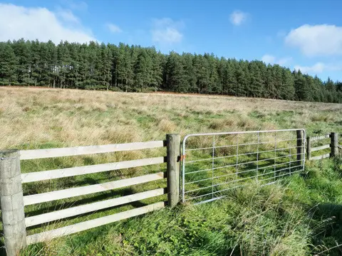
Image shared for Chew Green to Pennymuir: Dere Street across the border
Upland / Hill Point to point

Chew Green to Pennymuir: Dere Street across the border

Northumberland

Distance
5.3 mi
Est. time
3h
Difficulty
Medium
PaulWalkmates Route by PaulWalkmates

About this walk

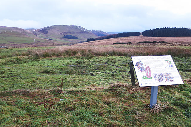
Walk north from the Roman camps at Chew Green to Pennymuir on the old Dere Street, crossing the English and Scottish border in the southern Cheviots. Allow about three hours for this 8.5 km through walk, with time for the Roman earthworks and views across the upper Kale valley. Arrange a second car or a lift at Pennymuir before starting. There is no organised return included.

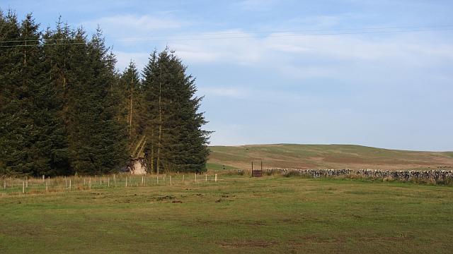
Start in the small surfaced Chew Green parking area beside the Upper Coquetdale road. Reach it from Alwinton along the no-through road up the valley. Walk the short road approach to the gate and take the Pennine Way track past the Chew Green camp ramparts. Cross the Chew Sike footbridge and continue north round Brownhart Law and Greystone Brae. At the border ridge, leave the Pennine Way and follow Dere Street towards Pennymuir.

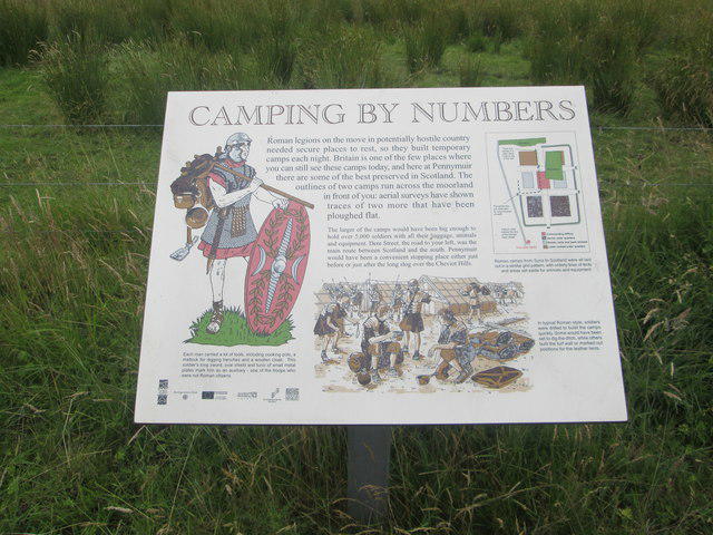
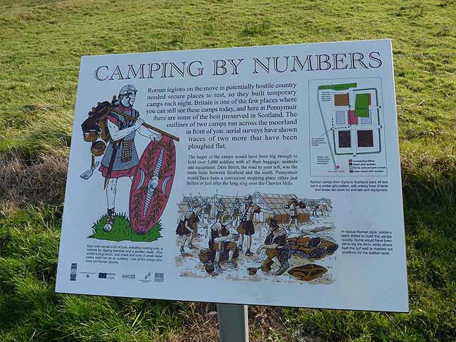
Use the signed branch south of Blackhall Hill, following the defined track round the lower slope. Stay on Dere Street as it curves round the east side of Woden Law. This route does not climb the hillfort or cross the craggy northern side of Blackhall Hill. Continue downhill to the minor road at Towford. Turn left, cross Kale Water by the pedestrian bridge beside the ford, then follow the road north past the Pennymuir Roman camps. Finish at the wide verge beside the camp information board, just southwest of the Pennymuir Hall junction.

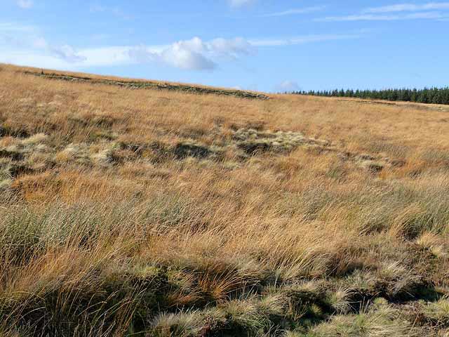
Expect grassy tracks, muddy patches, gates and steady slopes in open, windy country. The hillside track is narrower in places, so boots, waterproofs and a route map are sensible. Leave gates as found and keep dogs closely controlled around livestock. There are no dependable public facilities or refreshments along the walk. The final road section has no pavement; walk with care and watch for vehicles.

For the finishing car, the Horse Trails guide recommends careful parking on the wide Pennymuir verge. Keep the junction, field gates and carriageway clear, check signs on arrival and avoid soft ground. The hall apron is not the parking point.

Chew Green lies beside the Otterburn training estate. MOD guidance permits access on its land north of the River Coquet, but check current firing information and onsite warning signs before travelling. Do not enter closed military roads, locked or sentried gates, or signed out-of-bounds ground. Approach by Upper Coquetdale, not through the controlled range.

Route and access checked against MOD Iron Age Ascent guidance for the signed Blackhall bypass, Scottish Borders Council adopted core paths 105 and 111, and ScotWays Dere Street information. Finish parking guidance: Horse Trails around the Scottish Borders. Published council and National Park closure notices checked in October 2026.

Walk details

Walk type
Point to point
Category
Upland / Hill
Distance
5.3 mi (8.5 km)
Est. time
3h
Explorer
Yes, off the beaten track

Route map

Use the route details to plan your walk

If the map image does not load, the route description and starting-point details are still on this page.

The interactive map will load when you reach this section.

Where to start

Directions to start

Walking on your own?

Start when you're ready and add the walk to your history. No group date needed.

This walk is waiting for a date

Not ready to pick a date? Follow it and you'll hear when somebody else does.

No commitment. You can follow it now and pick a date later.

Joining a walk

A few things to know before you make plans.

Can I join if no one else is going?

You can be the first to join a scheduled walk. A suggested date is an idea for a group walk; choose Set this date up to organise it. Check the participant list and meeting details before setting off.

What if there is no date yet?

Choose Put a date on this walk to organise a group walk. Not ready to choose a day? Follow the route for scheduling updates, or save it for later.

What does the organiser do?

The organiser sets the date and meeting details and helps the group get started. They are a fellow walker and may be new to the route too.

Each walker is responsible for their own safety and navigation. Check the route, weather, equipment and whether the walk suits your experience and fitness.

Can I walk this route on my own?

Yes. Choose Walk this route on your own to open the start screen, then start when you are ready. Finish the walk to add it to your walking history. You do not need a group date.

What happens after I join?

Use the walk page to check meeting details, updates and who is going. Check in from 24 hours before the start to let the group know you still plan to come.

How do I confirm plans with the group?

Check the participant list and check-ins, and message the organiser or other walkers to confirm where to meet and who is coming. This is especially useful when the group is small.