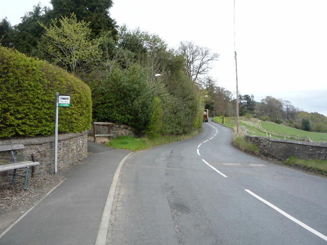
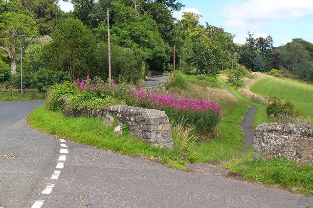
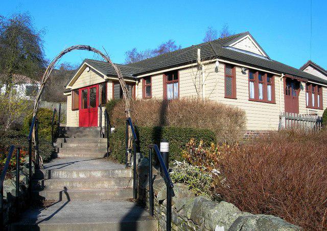
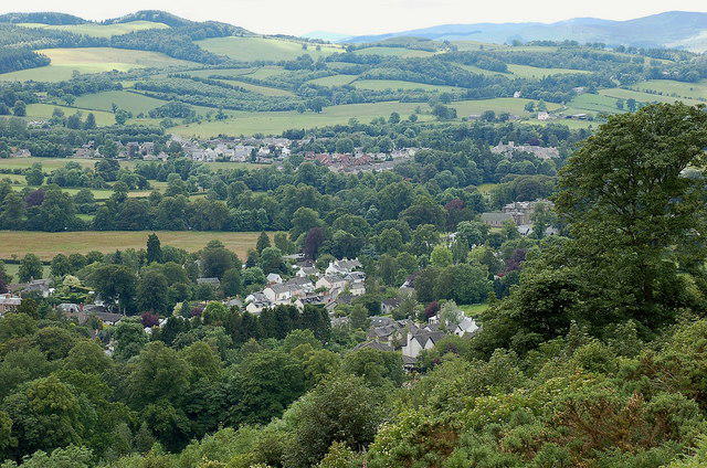
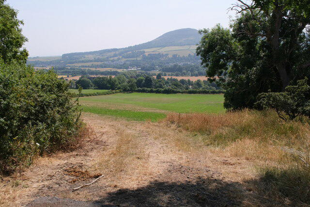
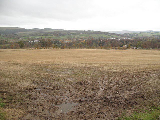
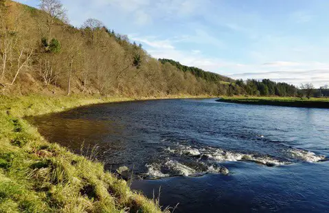
Start at Abbey car park off Buccleuch Street in Melrose. This circuit links the River Tweed, the pedestrian Chain Bridge and the lanes above Gattonside. Allow about 2 hours for the roughly 5.5 km walk. The higher part of the route gives a different perspective on Melrose and the Eildon Hills.
Follow the town pavements west past the Greenyards to St Mary's Road. Cross with care and take the surfaced path beside Melrose Parish Church down towards the river. Follow the riverside path east to Chain Bridge and cross to the north bank. Turn left and follow the Southern Upland Way upstream beside the Tweed. When the path reaches the main road, use the pavement west, then cross carefully to the signed old lane climbing north.
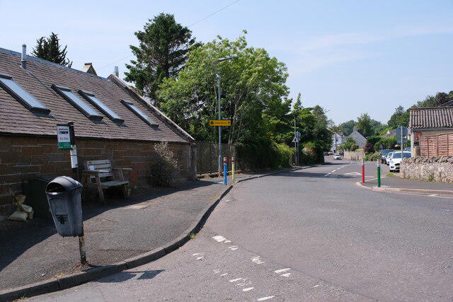
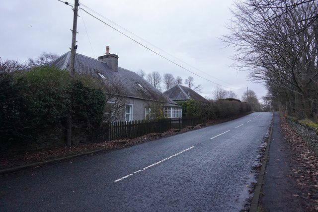
At the road junction above Gattonside, turn right, leaving the Southern Upland Way. Follow the narrow road past Gattonside Mains and down The Loan into the village. Cross the main road with care and take Hoebridge Road West, then Bridge Road, back to Chain Bridge. After crossing the river again, follow Chain Bridge Road and the pavement on Annay Road past Melrose Abbey to the car park.
Most of the circuit uses established paths and minor roads, with one moderate climb. The riverbank and old lane can become muddy; wet timber on the bridge can be slippery. The road crossings have no guaranteed traffic-free gap. Some village and higher lane sections share space with vehicles, so stay alert and step aside where safe. Avoid flooded river paths and follow any bridge or path closure notices. Strong shoes or walking boots are sensible, and this route is not presented as step-free.
Melrose has public toilets on Abbey Street and places to eat. The car park is pay and display; check the current signs. Carry water even for a short outing.
Researched on 2 October 2026 using Melrose Paths' Gattonside Circular, the council walking map and current OpenStreetMap geometry. The council closure list was checked. This is a researched route, not a firsthand condition report; recheck local notices and the forecast before setting off. Mapping: © OpenStreetMap contributors (ODbL).
Sources: https://walkmelrose.org.uk/route-3-gattonside-circular/ ; https://www.scotborders.gov.uk/downloads/download/357/path-closures