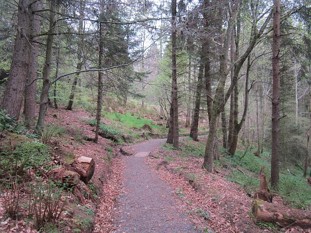
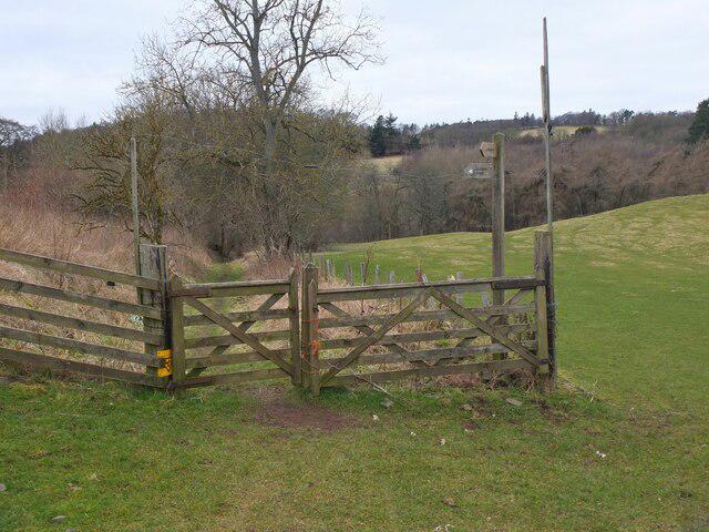
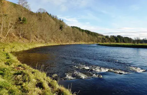
Start at the public Square parking bays beside Earlston High Street, close to the war memorial. Follow Station Road downhill, using the pavement where provided and taking care on the short road section by the bridge. The signed walking path leaves the road for the trees. Follow Speedy's Path above the Leader Water, keeping to the waymarked route towards Cowdenknowes.
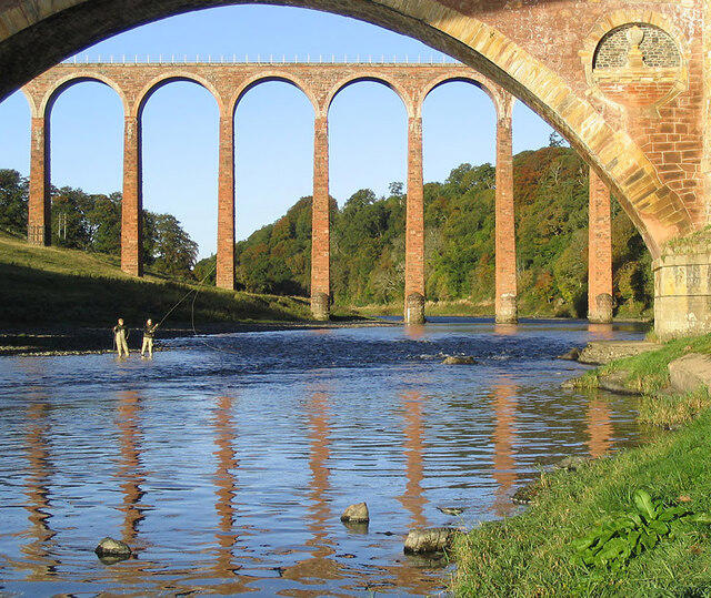
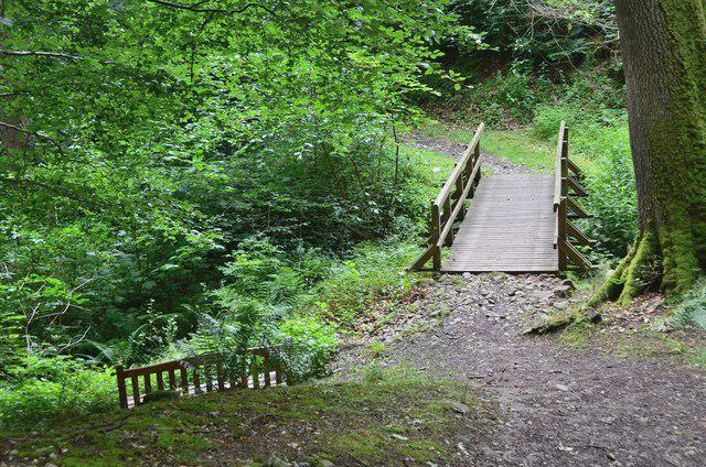
At the junction near the lodge, follow the Diamond Jubilee markers down the woodland steps. The path passes the historic Cowdenknowes house from outside its grounds, crosses the burn and climbs through Scots pine before descending towards Redpath. Stay on the Jubilee route rather than taking the village detour. Continue through woodland above the river to the Leaderfoot end of the trail, then take the short road approach beneath the A68 bridge and the footpath towards the old Drygrange Bridge. This is the turning point, with views towards the railway viaduct over the Tweed. Return by the same marked path to Earlston.
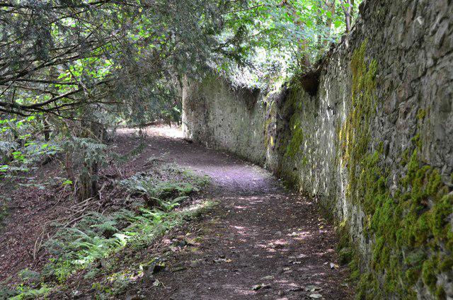
Allow about four hours for the full return walk and a stop at the bridges. Although the trail is well marked, it has repeated climbs, numerous steps, narrow sections and ground that becomes slippery after rain. Wear walking boots and allow space when passing others above the river. Take care on the short road approaches, keeping children close. If a path is flooded, damaged or signed closed, turn back. Cowdenknowes House is private and is not a visitor attraction on this walk.
Earlston has shops, cafés and public toilets close to the Square. Bring water and food for the countryside section. Use the designated public parking bays and check local signs. The complete Jubilee path, the return geometry and the Leaderfoot approach were checked against the council leaflet, current council route listing and path notices on 3 October 2026.