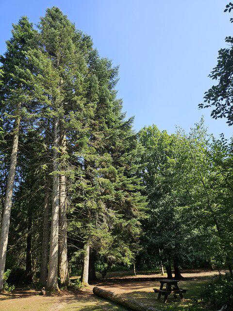
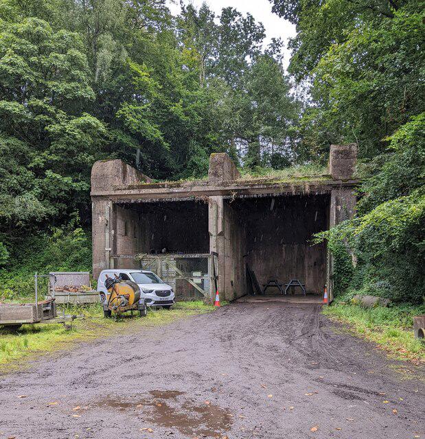
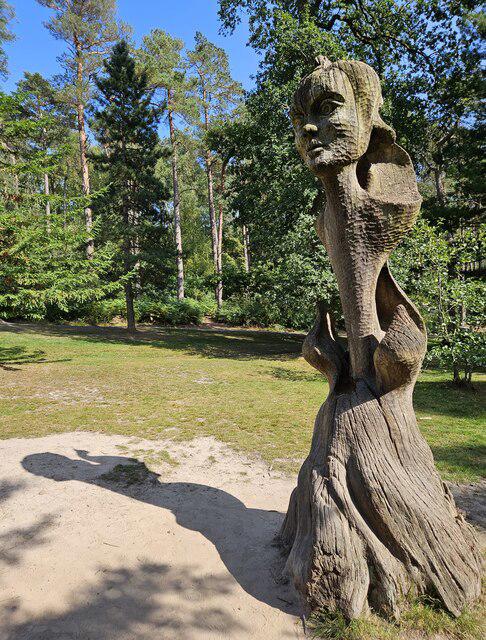
A short hill-and-woodland walk from the visitor-centre car park, with a climb to Bilberry Hill and a circuit through the Cofton side of Lickey Hills Country Park. The mapped route is about 2.1 kilometres. Allow an hour to an hour and a quarter for the climbs, views and short rests; continuous walking takes roughly 35–45 minutes, depending on pace.
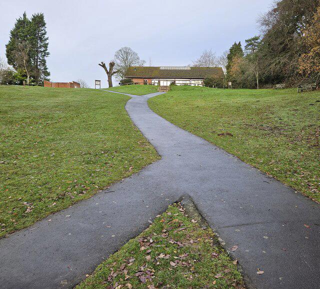
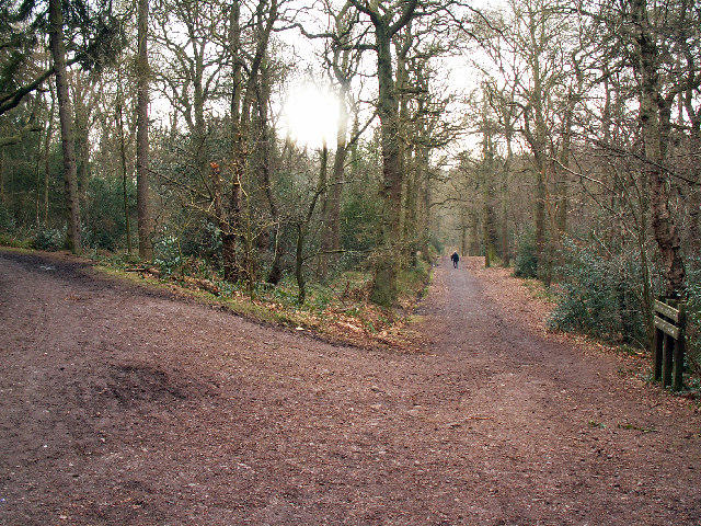
Start in the ordinary public car park beside the visitor centre, approached from Warren Lane. Follow the paths north towards Bilberry Hill and continue along the ridge before returning on the same short section. Turn south onto the established woodland paths towards Cofton Hill, then make the lower woodland loop and return past the visitor centre to the car park. Keep to the mapped paths at the numerous woodland junctions.
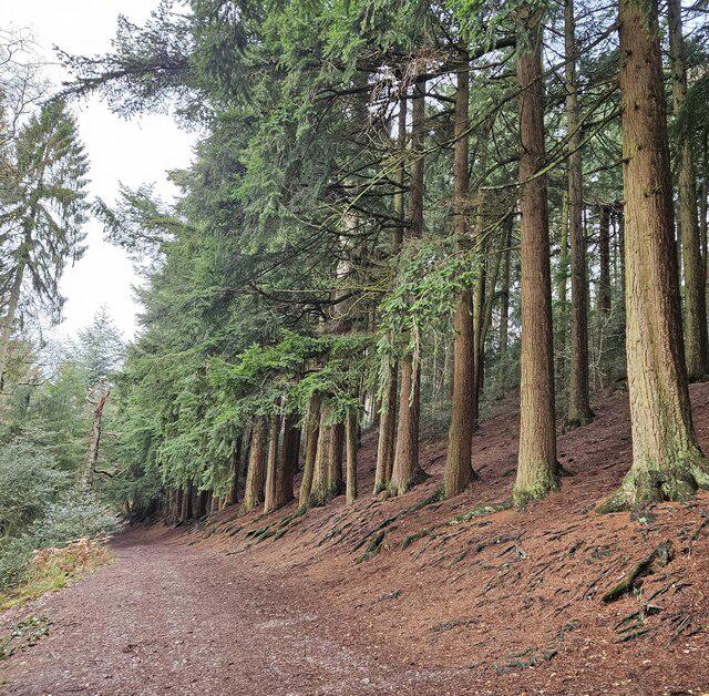
The hills are close to Birmingham, but the slopes still need care. Expect roots, loose stones and slippery mud after rain, and use footwear with a good tread. This is a walking route with climbs and uneven ground, rather than an accessible surfaced circuit. Stay on the established ridge path and give cyclists and other path users room. This route stays south of Rose Hill and does not require crossing that road.
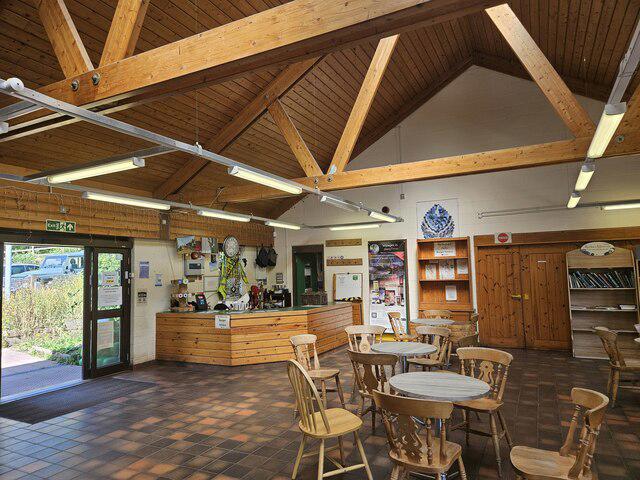
Use the main public parking bays, not the separately marked staff or reserved bays. Check current parking signs and gate times. Toilets are at the visitor centre subject to opening hours. The visitor-centre café is open, subject to its opening hours; bring water and snacks if visiting outside those hours. Dogs should be kept under control and follow any local signs.
Route planning reference: the Lickey Hills Society country-park map and Birmingham City Council’s visitor information. This is a short combination of established park paths rather than the full Woodpecker Trail. Check current notices before setting out. https://thelickeyhills.uk/country-park-map/