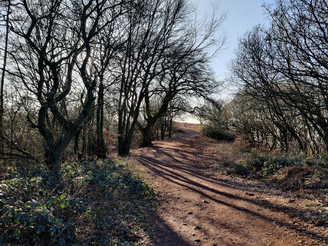
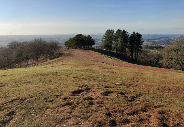
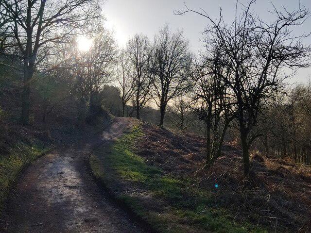
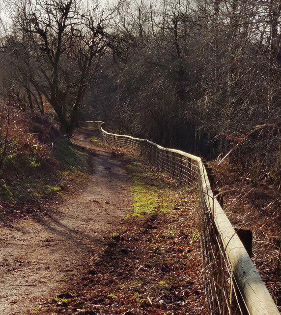
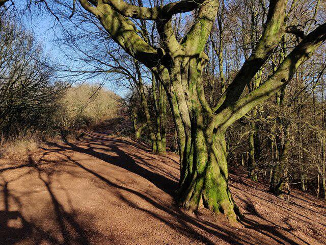
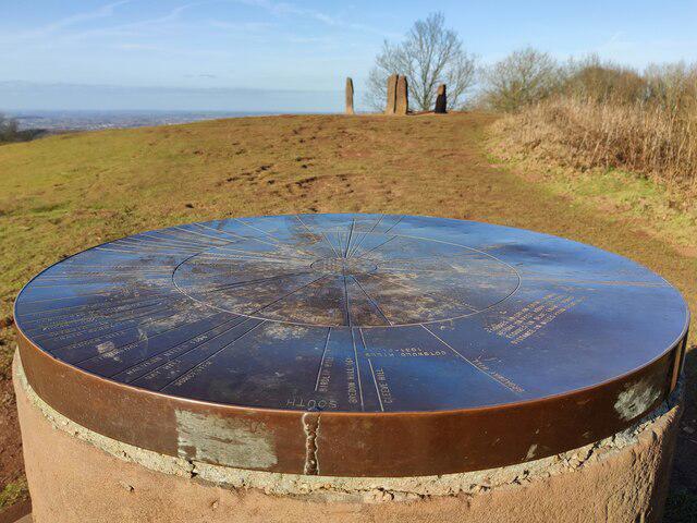
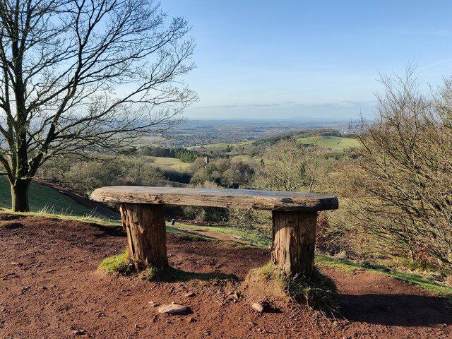
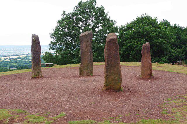
Image shared for Clent Hills: Buzzard Trail and Four Stones
Upland / Hill Circular

Clent Hills: Buzzard Trail and Four Stones

Worcestershire

Distance
2.3 mi
Est. time
1h 30m
Difficulty
Medium
PaulWalkmates Route by PaulWalkmates

About this walk

Start at the woodland exit beside the map board in Nimmings Wood car park, off Hagley Wood Lane. This 3.7 km circuit follows the National Trust’s Buzzard Trail around Clent Hill, with a short extra spur to the Four Stones. Allow about 90 minutes for the climbs and viewpoint stops.

Head uphill through Nimmings Plantation to the toposcope. The route then drops west into woodland, turns south along the hillside and climbs back through the Five Ways junction. Keep to the mapped tracks at the numerous forks. On the upper return leg, take the short out-and-back spur to the Four Stones before following the broader viewpoint path down to the car park. The western loop and the summit spur offer quite different views, so it is worth saving time for both.

Although the distances are modest, expect repeated slopes, uneven sandstone, roots and muddy patches after rain. Wear footwear with grip. Some tracks are shared with horses and cyclists; give other users room and keep clear of private estate paths beyond the signed hill routes. Cloud or mist can hide the views and make junctions harder to recognise.

There is a café and toilets at Nimmings Wood, subject to opening hours. Parking is charged for non-members; members must check in using the machine or the operator’s stated method. Check the posted closing time before setting out, as the car park is gated and seasonal hours vary. Keep dogs on leads in the parking and café areas, on the viewpoint path and around livestock.

Route reference: the National Trust’s Buzzard Trail and current Clent Hills visitor information. This version adds the short Four Stones spur; follow temporary notices on the day.

Walk details

Walk type
Circular
Category
Upland / Hill
Distance
2.3 mi (3.7 km)
Est. time
1h 30m
Explorer
Yes, off the beaten track

Route map

Use the route details to plan your walk

If the map image does not load, the route description and starting-point details are still on this page.

The interactive map will load when you reach this section.

Where to start

Directions to start

Walking on your own?

Start when you're ready and add the walk to your history. No group date needed.

This walk is waiting for a date

Not ready to pick a date? Follow it and you'll hear when somebody else does.

No commitment. You can follow it now and pick a date later.

Joining a walk

A few things to know before you make plans.

Can I join if no one else is going?

You can be the first to join a scheduled walk. A suggested date is an idea for a group walk; choose Set this date up to organise it. Check the participant list and meeting details before setting off.

What if there is no date yet?

Choose Put a date on this walk to organise a group walk. Not ready to choose a day? Follow the route for scheduling updates, or save it for later.

What does the organiser do?

The organiser sets the date and meeting details and helps the group get started. They are a fellow walker and may be new to the route too.

Each walker is responsible for their own safety and navigation. Check the route, weather, equipment and whether the walk suits your experience and fitness.

Can I walk this route on my own?

Yes. Choose Walk this route on your own to open the start screen, then start when you are ready. Finish the walk to add it to your walking history. You do not need a group date.

What happens after I join?

Use the walk page to check meeting details, updates and who is going. Check in from 24 hours before the start to let the group know you still plan to come.

How do I confirm plans with the group?

Check the participant list and check-ins, and message the organiser or other walkers to confirm where to meet and who is coming. This is especially useful when the group is small.