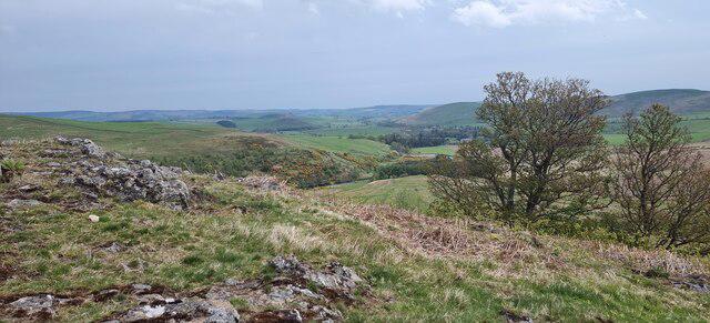
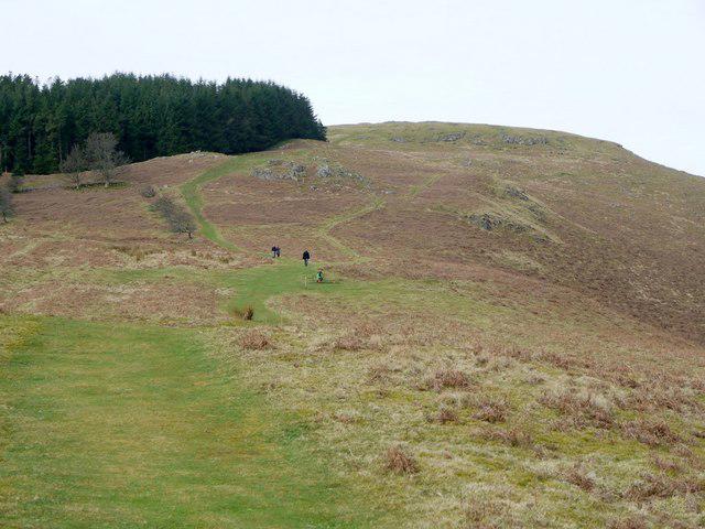
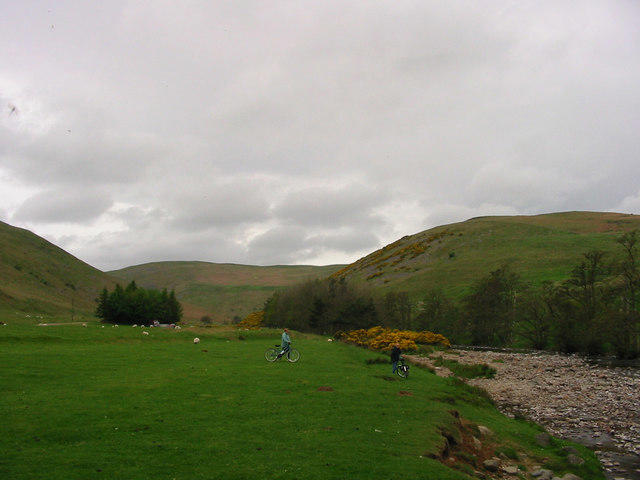
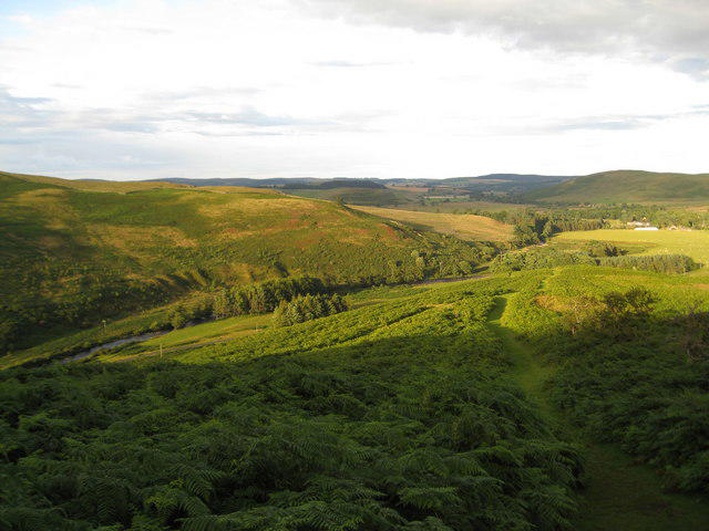
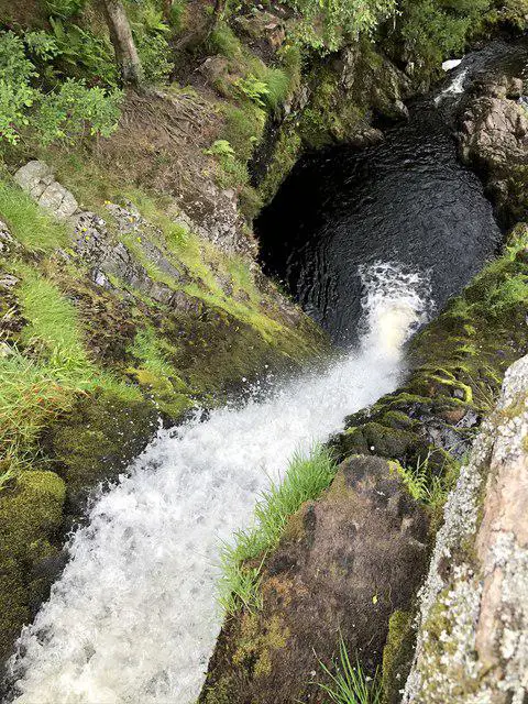
Image shared for Ingram Valley - Brough Law Fort
Upland / Hill Out & back

Ingram Valley - Brough Law Fort

Northumberland

Distance
1.2 mi
Est. time
1h 5m
Difficulty
Easy
PaulWalkmates Route by PaulWalkmates

About this walk

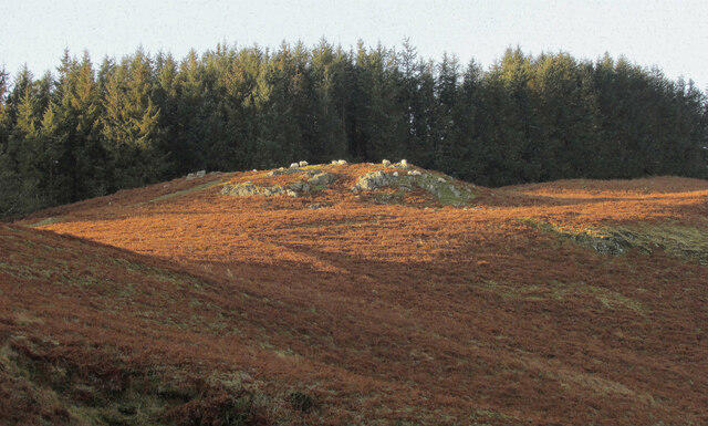
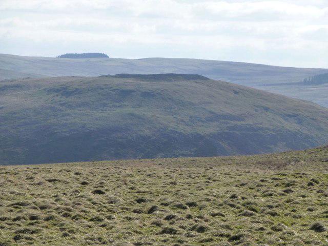
This short out-and-back route offers a straight-up, straight-down wander with a rewarding payoff. From the moment you leave the car park, you can see your target—Brough Law, a prominent hill topped with the remains of a prehistoric hillfort.

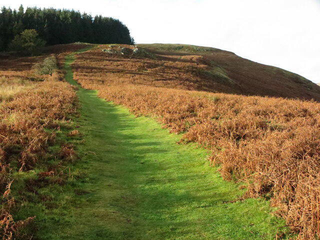
There’s no mystery to the route: just follow the path and head upward. It’s a steady but manageable climb, and the views open up quickly behind you. The summit itself is home to an ancient Iron Age fort, its weathered earthworks still clearly visible. Stand among them and you’ll get a real sense of just how long people have been watching over this land.

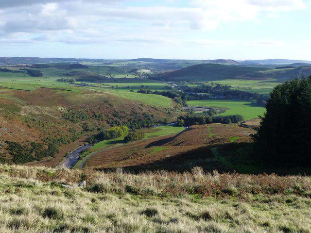
Once at the top, you’re treated to panoramic views across the Cheviots—rolling, empty hills that stretch for miles. It’s not a long walk, but it feels like you’ve properly earned the perspective.

Walk Details:

Distance: ~2.5km return

Time: 45 minutes to 1 hour

Difficulty: Easy to moderate – short but uphill all the way out

Family Friendly: Yes – especially for kids who like scrambling about old ruins

Highlights: Hillfort, sweeping views, no-nonsense route

Tips:

It can get windy at the top—bring a layer

Great for a quick leg-stretch or a spontaneous adventure if you’re in the area

Not necessarily a destination walk, but a cracking little outing if you’re nearby and fancy feeling like a hilltop guardian for half an hour. Boots on, up you go.

A worthwhile mention, the trees shown in some of the pictures are no longer there. Perhaps Storm Arwen took them?

Walk details

Main location
Ingram
Nearby town
Ingram
Walk type
Out & back
Category
Upland / Hill
Distance
1.2 mi (2.0 km)
Est. time
1h 5m
Explorer
Yes, off the beaten track

Route map

Use the route details to plan your walk

If the map image does not load, the route description and starting-point details are still on this page.

The interactive map will load when you reach this section.

Where to start

Directions to start
///attending.public.exonerate

Walking on your own?

Start when you're ready and add the walk to your history. No group date needed.

This walk is waiting for a date

Not ready to pick a date? Follow it and you'll hear when somebody else does.

No commitment. You can follow it now and pick a date later.

Along the route

4 places
Breamish Valley Infomation Board
Information
Parking
Essentials
Camp
Ruins · 0.4 mi along
Camp
Ruins · 0.6 mi along

Joining a walk

A few things to know before you make plans.

Can I join if no one else is going?

You can be the first to join a scheduled walk. A suggested date is an idea for a group walk; choose Set this date up to organise it. Check the participant list and meeting details before setting off.

What if there is no date yet?

Choose Put a date on this walk to organise a group walk. Not ready to choose a day? Follow the route for scheduling updates, or save it for later.

What does the organiser do?

The organiser sets the date and meeting details and helps the group get started. They are a fellow walker and may be new to the route too.

Each walker is responsible for their own safety and navigation. Check the route, weather, equipment and whether the walk suits your experience and fitness.

Can I walk this route on my own?

Yes. Choose Walk this route on your own to open the start screen, then start when you are ready. Finish the walk to add it to your walking history. You do not need a group date.

What happens after I join?

Use the walk page to check meeting details, updates and who is going. Check in from 24 hours before the start to let the group know you still plan to come.

How do I confirm plans with the group?

Check the participant list and check-ins, and message the organiser or other walkers to confirm where to meet and who is coming. This is especially useful when the group is small.