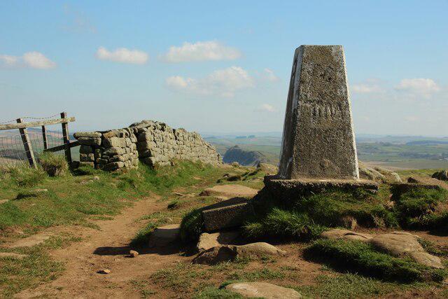
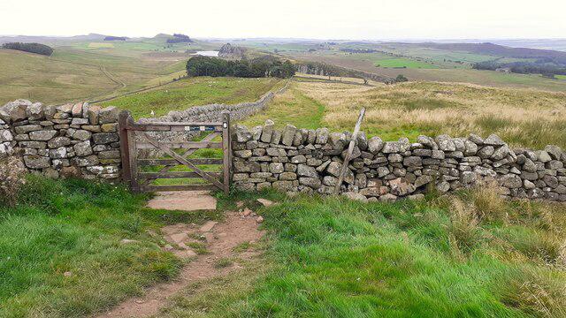
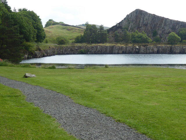
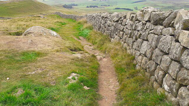
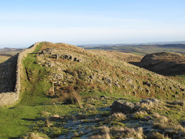
Climb from Housesteads car park past the outside of the Roman fort, then spend a full day following Hadrian’s Wall west across its dramatic central crags. The path passes Crag Lough and Sycamore Gap before repeated climbs towards Winshields, Cawfields and Walltown. Beyond the crags, descend past the Thirlwall Castle area and follow the Tipalt Burn footpath into Greenhead. This 16.9 km linear walk follows the promoted Pennine Journey Housesteads–Greenhead stage with a practical parking approach. Expect steep stone steps, rocky ground, ladder stiles, mud and exposed edges; allow 6–7 hours plus breaks. The tree at Sycamore Gap is no longer standing. Keep to the signed paths and respect the protected stump and Roman remains. Arrange your return bus or lift before setting off; fort admission and visits are separate from the walk.
Start and finish
Start on the main uphill path directly beyond the Housesteads car-park visitor area, 55.0098123, -2.3242439. The ascent from here is included in the plotted distance.
Finish where Station Road joins the B6318 in Greenhead, at 54.9819996,-2.5328583. Stand safely on the pedestrian side of the junction. Bus stop/parking access beyond this point is separate.
Travel and parking
Off B6318 near Bardon Mill, NE47 6NN. Start at the public path leaving the visitor/car-park area, 55.0098123,-2.3242439.
Current operator lists up to 3 hours £5, then £2/hour, maximum £10/day; first 15 minutes free. Check signs and payment instructions.
No overnight parking. Day access restrictions or closure events should be checked locally.
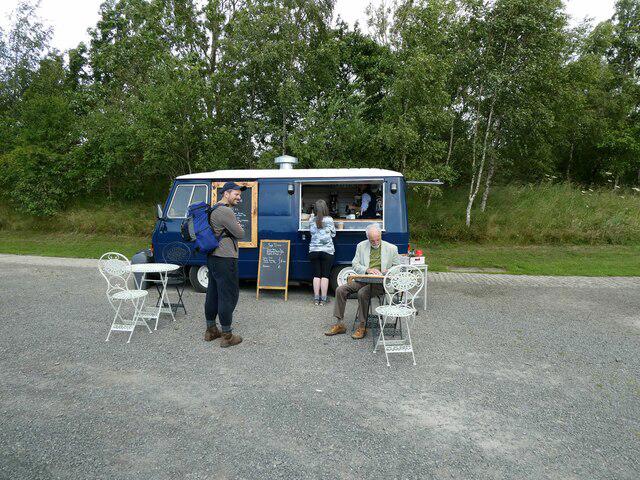
The Housesteads visitor centre is currently closed. English Heritage reports a coffee cart and toilets available in the car park, with facilities also at the fort. These arrangements are separate from the closed visitor centre; check current availability and any fort admission or opening conditions before relying on them. Carry supplies. Current facilities information: https://www.english-heritage.org.uk/visit/places/housesteads-roman-fort-hadrians-wall .
Prearrange a lift, taxi or date-checked return on the Go North East Hadrian’s Wall Country Bus 122, which serves Greenhead and Housesteads. Check direction, actual date, disruptions and final departure before starting; consider travelling to the start first.
Bus-stop approaches and the return journey are outside the plotted walk.
Terrain and access
Follow the main visitor path uphill and keep west of Housesteads fort, using the permissive exterior paths to join the signed National Trail. The plot does not enter customer-only museum or fort interiors; any visit requires separate admission and extra time.
Repeated steep climbs and descents on rock and stone steps make this a strenuous day despite the modest hill heights. There are unguarded crag and quarry edges, exposed upland sections and slippery surfaces. Avoid strong winds, ice and poor visibility; carry a backup map, waterproofs, warm layers, food and enough water.
Numerous ladder and other stiles, gates and steps are mapped. This is not step-free and is unsuitable for wheelchairs. Do not assume that a dog can negotiate all the ladder stiles; keep dogs on leads around grazing livestock.
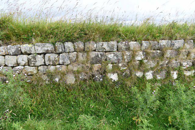
Stay on the signed path rather than climbing on Roman masonry or cutting across eroding slopes. Respect the barrier protecting the Sycamore Gap stump.
Short lanes and road crossings occur near Steel Rigg, Cawfields and Walltown. Use care at every crossing and watch for farm traffic. Do not invent a return walk along the busy B6318 or A69; the finish is at the Station Road junction, not an instruction to walk in the carriageway.
The Tipalt Burn section uses mapped footbridges; no ford or railway-track crossing is required. Stay on the public path and keep away from the stream in flood. Do not continue onto Pennine Journey Day 11 south of Greenhead, which has a separately reported wet-path problem.
Council and Pennine Journey notices checked on 23 October 2026 list no closure on this stage. Check current notices before travel and obey local signs; fresh damage or an unlisted obstruction can still affect the path.
National Trails recommends May–October to limit damage to wet ground and archaeology. Choose a dry-weather day with enough daylight; shorten or abandon the outing if conditions deteriorate rather than making an unverified bypass.
Before you go
Check current route notices, weather and local signs before travelling. This route has not been field-inspected by Walkmates; path surfaces, access and facilities can change. Exact ascent is not verified for this plotted line.
Route information
https://penninejourney.org/route-summary-day-10/
Map data: © OpenStreetMap contributors, licensed under the Open Database Licence (ODbL). https://www.openstreetmap.org/copyright