
Image shared for Dunstable Downs: ridge views and Five Knolls
Upland / Hill Out & back

Dunstable Downs: ridge views and Five Knolls

Bedfordshire

Distance
2.2 mi
Est. time
1h 30m
Difficulty
Medium
PaulWalkmates Route by PaulWalkmates

About this walk

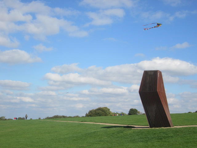
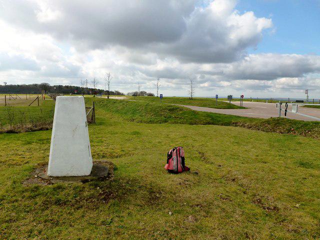
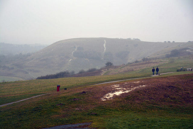
An open chalk-downland walk from the Chilterns Gateway Centre to the prehistoric burial mounds at Five Knolls. The ridge gives broad views across the Vale of Aylesbury, with the gliding club below and plenty of space to pause and watch the sky. Allow about 90 minutes for this 3.6 km return walk, including time at the viewpoint; the moving time is closer to an hour.

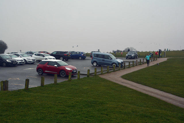
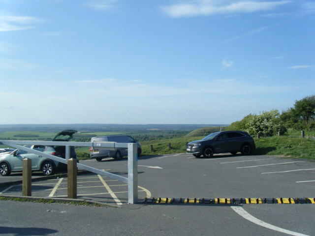
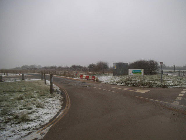
Start in the National Trust visitor-centre car park off Whipsnade Road. Follow the paths west onto the Downs, then head north along the upper slope towards Five Knolls. Turn around beside the burial mounds and return on the same path. Keep to the established path around the archaeological earthworks. This is a shorter return walk based on the opening section of the National Trust countryside trail.

The ground is grassy, chalky and uneven, with undulations and some steeper sections. Chalk and worn earth become slippery after rain. Wear shoes with grip, bring a windproof layer and choose daylight with good visibility. Stay back from steep slopes, keep dogs under close control and use leads near livestock.

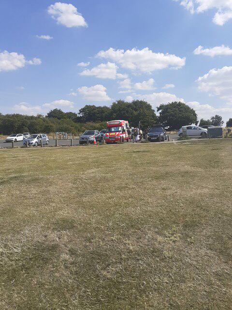
The Gateway Centre has a café and toilets during its opening hours. Parking is paid; the September 2026 upgrade introduced time bands and numberplate recognition. Follow the current machine instructions, and National Trust members should check in with their membership card and vehicle registration. Check opening times and any temporary access notices before travelling.

Route reference: National Trust, Dunstable Downs countryside walk: https://www.nationaltrust.org.uk/visit/essex-bedfordshire-hertfordshire/dunstable-downs-and-whipsnade-estate/dunstable-downs-countryside-walk

Walk details

County
Bedfordshire
Walk type
Out & back
Category
Upland / Hill
Distance
2.2 mi (3.6 km)
Est. time
1h 30m
Explorer
Yes, off the beaten track

Route map

Use the route details to plan your walk

If the map image does not load, the route description and starting-point details are still on this page.

The interactive map will load when you reach this section.

Where to start

Directions to start

Walking on your own?

Start when you're ready and add the walk to your history. No group date needed.

This walk is waiting for a date

Not ready to pick a date? Follow it and you'll hear when somebody else does.

No commitment. You can follow it now and pick a date later.

Joining a walk

A few things to know before you make plans.

Can I join if no one else is going?

You can be the first to join a scheduled walk. A suggested date is an idea for a group walk; choose Set this date up to organise it. Check the participant list and meeting details before setting off.

What if there is no date yet?

Choose Put a date on this walk to organise a group walk. Not ready to choose a day? Follow the route for scheduling updates, or save it for later.

What does the organiser do?

The organiser sets the date and meeting details and helps the group get started. They are a fellow walker and may be new to the route too.

Each walker is responsible for their own safety and navigation. Check the route, weather, equipment and whether the walk suits your experience and fitness.

Can I walk this route on my own?

Yes. Choose Walk this route on your own to open the start screen, then start when you are ready. Finish the walk to add it to your walking history. You do not need a group date.

What happens after I join?

Use the walk page to check meeting details, updates and who is going. Check in from 24 hours before the start to let the group know you still plan to come.

How do I confirm plans with the group?

Check the participant list and check-ins, and message the organiser or other walkers to confirm where to meet and who is coming. This is especially useful when the group is small.
