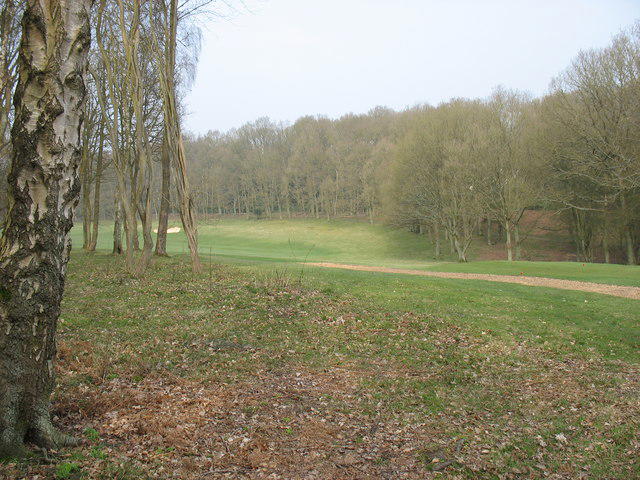
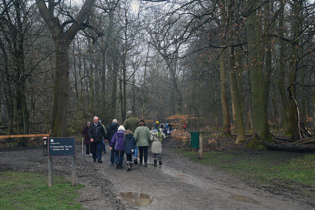
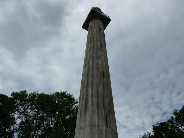
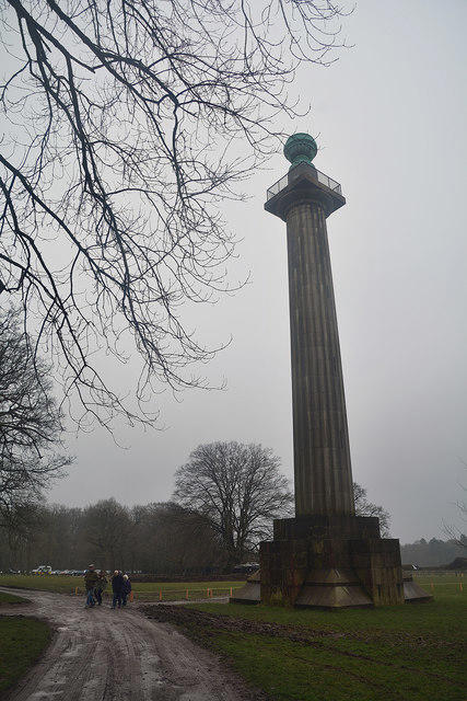
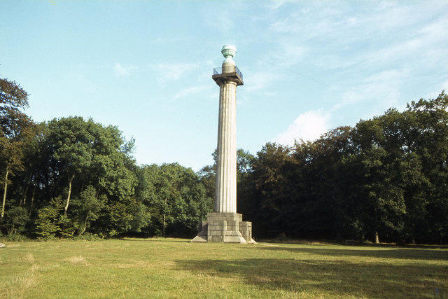
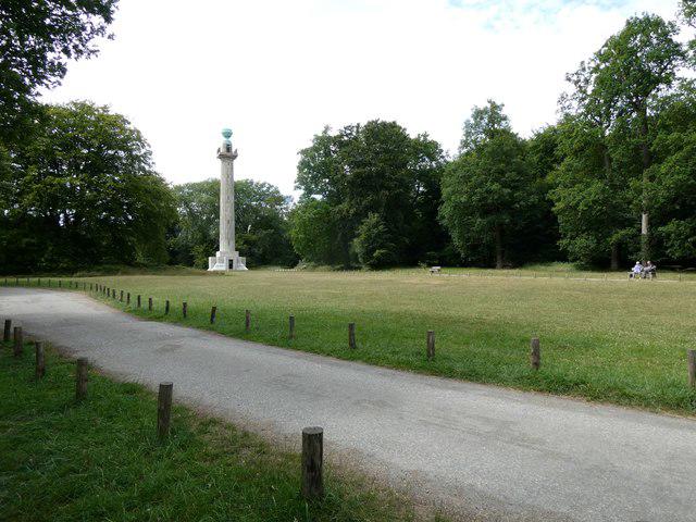
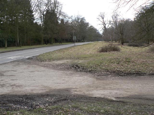
Explore the southern half of Ashridge on a full-day circuit of woodland, open valleys and farmland. Begin by the visitor centre on Monument Drive and follow the Boundary Trail through the trees towards the Golden Valley. The route continues past Frithview Farm and through the wooded slopes around Coldharbour Farm before returning across Northchurch Common and along the Icknield Way. This is the current South circuit, with its own waymarked route. Look for circular white Boundary Trail signs with green arrows. Paths can be muddy and uneven, with steep slopes, steps and stiles. Keep dogs on a lead, stay on the signed paths through farms and golf-course edges, and cross roads carefully. Allow a generous part of the day for the 16.8 km walk. Free designated parking is available on Monument Drive; the estate is listed as open from dawn to dusk.
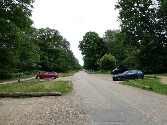
Start and parking: Use designated visitor parking on Monument Drive, Ashridge Estate, Moneybury Hill, Ringshall, near Berkhamsted, HP4 1LT. Enter Monument Drive from the B4506. The plotted start is the visitor-hub path junction east of the visitor centre, already on the complete circuit. Parking is free; Bridgewater Monument admission is separate and is not required for the walk. Do not park on the protected north verge of Monument Drive, where parking has been withdrawn to protect ancient woodland.
Access and conditions: Follow the current South Boundary Trail, not the North circuit or the obsolete combined loop. Take care at two B4506 crossings, other minor-road crossings and short lane sections. Stay on the signed paths through farm buildings and beside golf-course boundaries. Parts of this National Trust-promoted route are permissive footpaths; follow the walking waymarks and any temporary notices. Muddy, uneven paths, steep slopes, steps and stiles mean this is not claimed as wheelchair-accessible. Dogs must be on leads throughout the route.
Visitor information: The estate is listed as open from dawn to dusk, with the car park locked between 22:00 and 06:00. Toilets are beside the visitor centre. The visitor centre, shop and café displayed 10:00–17:00 on the 22 October 2026 calendar; check visit-day hours and signs. Facilities and seasonal access times can change.
Distance and timing: The complete mapped line measures 16.762 km, consistent with the National Trust rounded figure of 16.8 km. The official planning range is 3½–7 hours; the listing estimate of 5½ hours is a midpoint, excluding unusually long stops.
Information was checked on 22 October 2026. No current route closure was found on the checked National Trust route and property pages. Follow temporary forestry, conservation and weather-related closures. This is desk research, not field clearance, and a comprehensive current county-wide pedestrian-closure register was not established. Check official notices and conditions before travelling.
Official route and visitor sources: https://www.nationaltrust.org.uk/visit/essex-bedfordshire-hertfordshire/ashridge-estate/ashridge-estate-boundary-trail-south https://static.nationaltrust.org.uk/trails/visit/essex-bedfordshire-hertfordshire/ashridge-estate/ashridge-estate-boundary-trail-south-walking.pdf https://www.nationaltrust.org.uk/visit/essex-bedfordshire-hertfordshire/ashridge-estate https://www.nationaltrust.org.uk/visit/essex-bedfordshire-hertfordshire/ashridge-estate/monument-drive-parking-update
Route geometry: © OpenStreetMap contributors, licensed under ODbL 1.0. https://www.openstreetmap.org/copyright