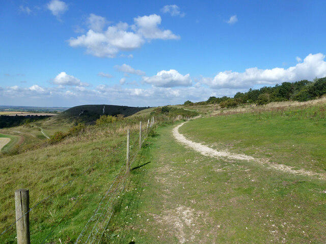
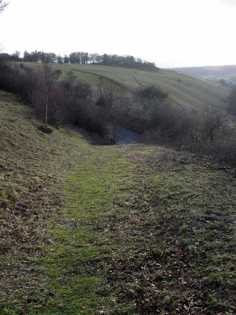
Follow the complete countryside circuit from Dunstable Downs through Five Knolls, Green Lane and Totternhoe, then return by the old sunken tracks and the southern slopes near Bison Hill. Begin at the National Trust's smaller northern visitor car park and join the shared path along the top of the Downs. After the burial mounds, descend to the signalled West Street crossing, continue along the former drovers' route and turn towards Totternhoe. Walk through the village and along Well Head Road, cross Tring Road to the bridleway and follow the foot of the Downs. The full route keeps the historic sunken-way climb and descent before continuing south and returning along the Ridgeway Link.
The walk is about 10.3 km and takes roughly three and a half hours plus breaks. Chalk and earth paths can be muddy and very slippery after rain; there are gates, steps, uneven ground and several climbs. Wear suitable footwear and carry layers for the exposed slopes. Share the paths considerately with cyclists and riders, and keep dogs on leads near livestock.
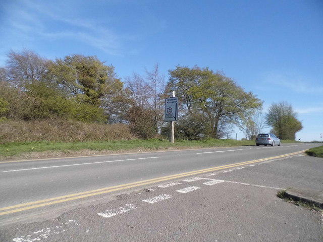
This route includes almost 1 km of Well Head Road without a pavement and an uncontrolled crossing of Tring Road, the B489. Take particular care around traffic and at bends, use pavements where present and cross only when the road is clear. Use the traffic-light crossing at West Street. Check current local notices and leave enough daylight to finish.
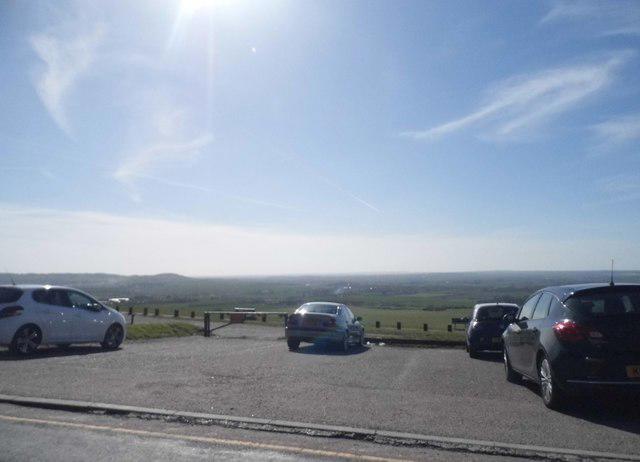
Parking is charged, with free parking for registered National Trust members and Blue Badge holders. Check the local gate and payment signs; overnight parking is not permitted. Toilets, a café and visitor facilities are available at the Chilterns Gateway Centre during opening hours, a short walk from this smaller car park.
Route geometry: © OpenStreetMap contributors, licensed under ODbL. https://www.openstreetmap.org/copyright