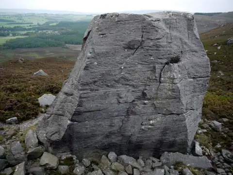
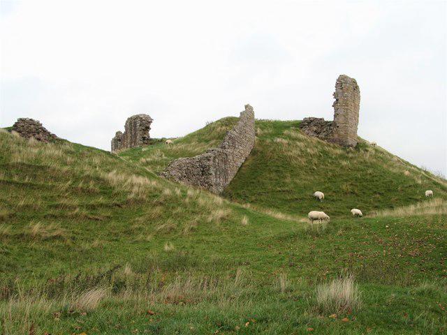
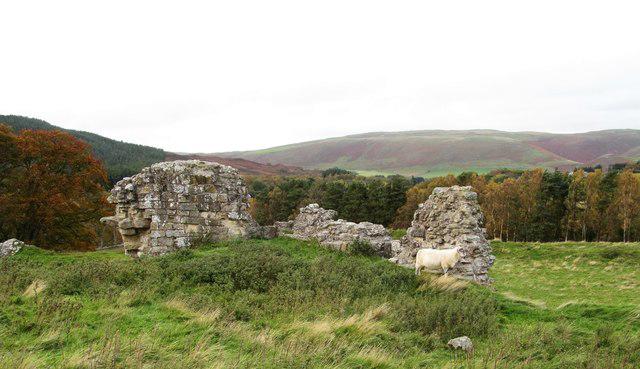
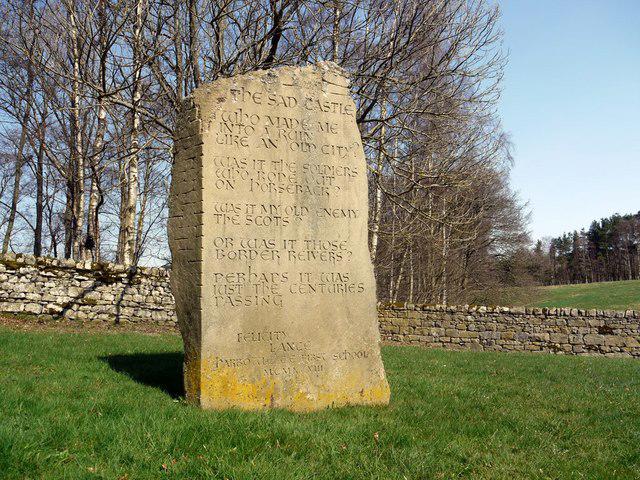
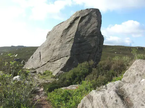
A circuit above and beside the Coquet, combining the Drake Stone, Harbottle Lake and Harbottle Castle. The mapped start is the footpath junction on the West Wood Forestry England car-park access, not a parking bay. Use the signed approach towards the moor, then the short return spur to view the sandstone boulder from the ground-level path.
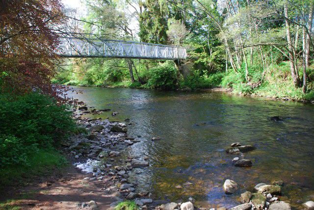
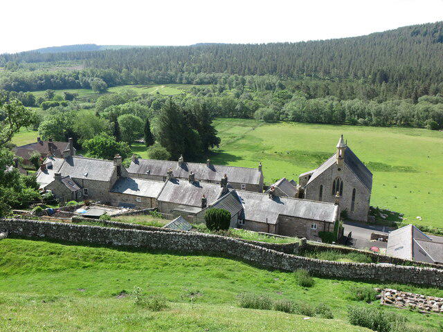
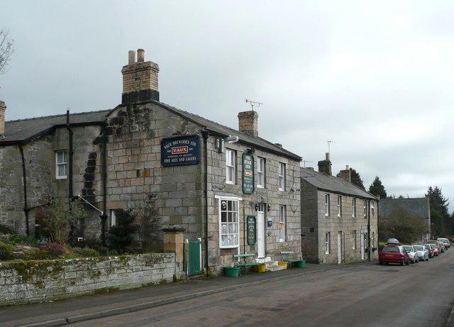
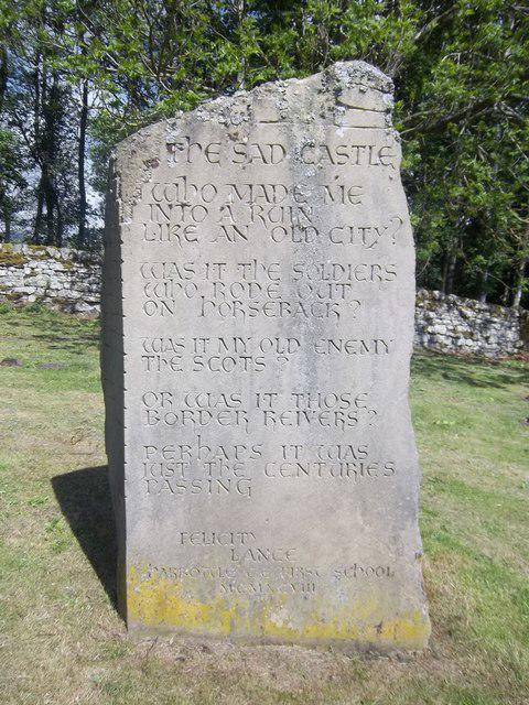
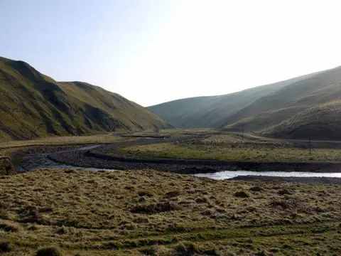
The walk continues beside Harbottle Lake and through West Wood before reaching the road towards Alwinton. Beyond the road bridge, the route passes the limekiln and Park House, then follows the valley towards Harbottle. At the river crossing near the village, use the separate metal pedestrian bridge west of the ford. Do not enter the ford. The village return includes a spur to the castle ruins before rejoining the road towards West Wood.
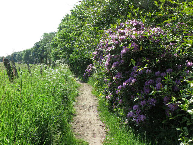
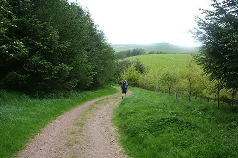
Allow around three hours of walking for approximately 7.3 km, plus stops; this is an estimate. Expect uneven moorland, stiles, mud and exposed sections. The lake-edge bog can conceal deep water: remain on the path and do not approach the water across the bog. Keep dogs on leads in the nature reserve and under close control near livestock. The reserve manager says the nearby army red flag does not apply within the reserve, but you must not continue beyond MOD boundary signs.
There are road sections and a road-bridge crossing; watch for traffic and do not assume a continuous pavement. This is not a step-free route. Forestry England currently lists free parking at West Wood, with no designated accessible spaces. Harbottle Castle is advertised as free to visit via its car-park path; follow posted access restrictions and keep off the ruined walls. Check current forestry and council notices before travelling, and turn back rather than cross floodwater or a closed bridge.
Sources and current visitor information:
Route geometry reconstructed from licensed mapped paths, not field-surveyed. Map data © OpenStreetMap contributors, ODbL 1.0: https://www.openstreetmap.org/copyright .