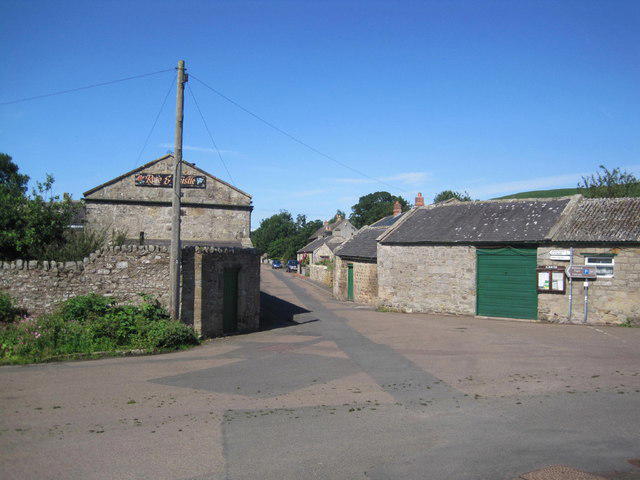
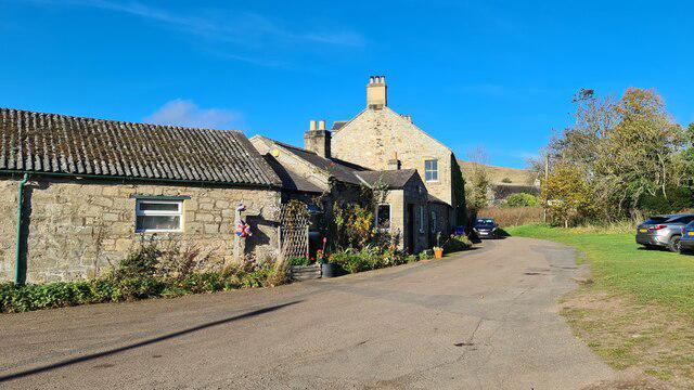
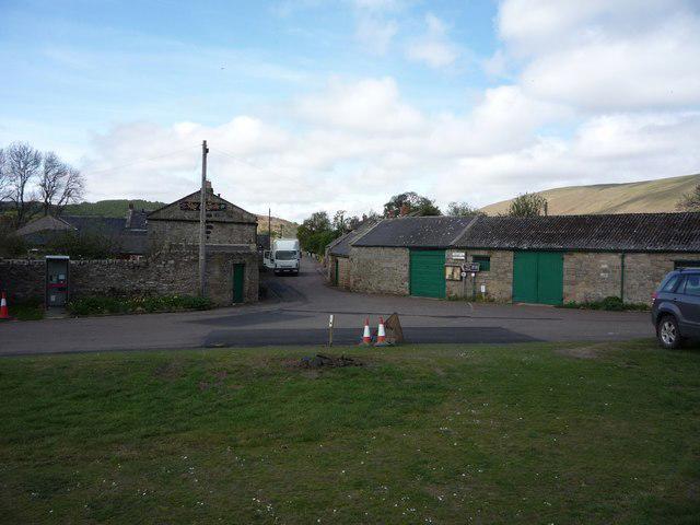
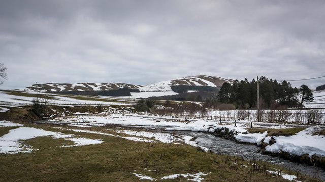
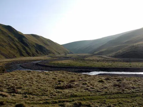
Image shared for Alwinton to Rookland: Clennell and the lower Biddlestone bridleway
Countryside Out & back

Alwinton to Rookland: Clennell and the lower Biddlestone bridleway

Northumberland

Distance
5.5 mi
Est. time
3h
Difficulty
Medium
PaulWalkmates Route by PaulWalkmates

About this walk

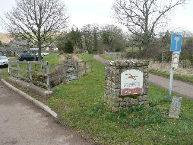
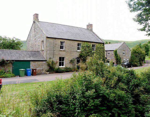
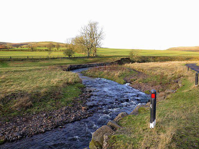
Start at the National Park car park on the west side of Alwinton. Follow the village road east, cross the Hosedon Burn by the road bridge and turn towards Clennell. The lower lane crosses the River Alwin on a second road bridge, then follows the valley past Clennell Hall. Continue on the public byway past the hall and holiday park, taking the signed bridleway east towards Rookland and Biddlestone.

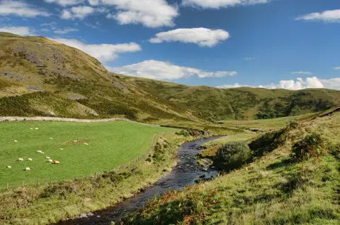
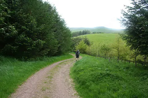
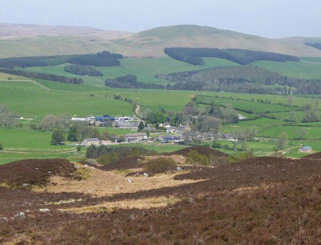
The bridleway climbs steadily around the edge of Clennell Wood, then crosses open sheep pasture on a rough farm track. There are gates, gravel, grassy sections and puddles after wet weather. The view opens back across the Alwin valley towards the southern Cheviot hills. Stay on the bridleway past Rookland Farm and turn around where it meets the Biddlestone to Newton lane. Return by the same route.

Allow about three hours, including a short break. The valley sections use narrow roads with passing vehicles and no continuous pavement. Keep clear of farm and holiday-park entrances, leave gates as found and keep dogs under close control around livestock. The rough track can be muddy and slippery, so walking boots are useful. There are public toilets at the Alwinton car park and a pub in the village; check opening times and the car park tariff on arrival.

This lower route follows the recorded Clennell and Biddlestone bridleway used in Northumberland National Park walking itineraries. Route and access information was checked against the National Park, Northumberland County Council and local walking accounts in October 2026.

Walk details

Walk type
Out & back
Category
Countryside
Distance
5.5 mi (8.9 km)
Est. time
3h
Explorer
Yes, off the beaten track

Route map

Use the route details to plan your walk

If the map image does not load, the route description and starting-point details are still on this page.

The interactive map will load when you reach this section.

Where to start

Directions to start

Walking on your own?

Start when you're ready and add the walk to your history. No group date needed.

This walk is waiting for a date

Not ready to pick a date? Follow it and you'll hear when somebody else does.

No commitment. You can follow it now and pick a date later.

Joining a walk

A few things to know before you make plans.

Can I join if no one else is going?

You can be the first to join a scheduled walk. A suggested date is an idea for a group walk; choose Set this date up to organise it. Check the participant list and meeting details before setting off.

What if there is no date yet?

Choose Put a date on this walk to organise a group walk. Not ready to choose a day? Follow the route for scheduling updates, or save it for later.

What does the organiser do?

The organiser sets the date and meeting details and helps the group get started. They are a fellow walker and may be new to the route too.

Each walker is responsible for their own safety and navigation. Check the route, weather, equipment and whether the walk suits your experience and fitness.

Can I walk this route on my own?

Yes. Choose Walk this route on your own to open the start screen, then start when you are ready. Finish the walk to add it to your walking history. You do not need a group date.

What happens after I join?

Use the walk page to check meeting details, updates and who is going. Check in from 24 hours before the start to let the group know you still plan to come.

How do I confirm plans with the group?

Check the participant list and check-ins, and message the organiser or other walkers to confirm where to meet and who is coming. This is especially useful when the group is small.