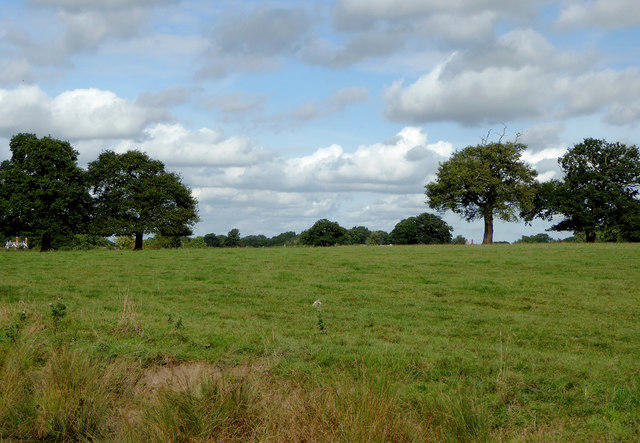
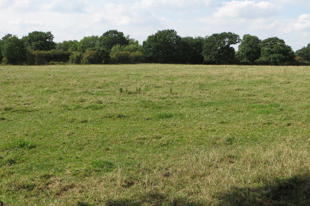
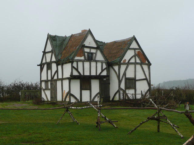
A short history walk from Bosworth Battlefield Heritage Centre, with a public-path extension south to the Ashby Canal. The approximately 2.7 km circuit takes around 75 minutes with time for the interpretation panels and views; continuous walking takes nearer 40 minutes. It combines the Ambion Hill viewpoint and sundial, the paths towards Shenton Station, and King Richard’s Well. Ambion Hill is an interpretation site overlooking the wider battlefield landscape, rather than the confirmed location of the fighting in 1485.
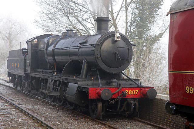
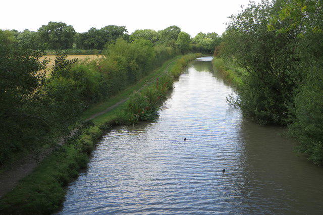
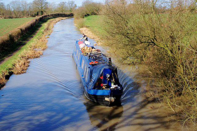
Start in the ordinary visitor car park at the Heritage Centre, Ambion Lane, Sutton Cheney, CV13 0AD. Follow the established paths past the hilltop interpretation, west towards Shenton, then south on the public path beside the former railway cutting. At the southern junction, take the short out-and-back spur to the canal bridge viewpoint before returning to the junction and following the path east past King Richard’s Well to the Centre. The canal spur is deliberately retraced. Stay outside the working railway and follow the pedestrian gates and local signs at Shenton; railway platforms and tracks are not part of this route.
Expect compacted paths, earth sections, gates and gentle slopes. Mud, wet leaves and uneven ground make sturdy footwear sensible after rain. Keep dogs on leads at the Heritage Centre and on the battlefield trail, use leads around livestock elsewhere and do not enter the canal or railway land. This is an outdoor walk, so choose daylight and follow any temporary closure signs.
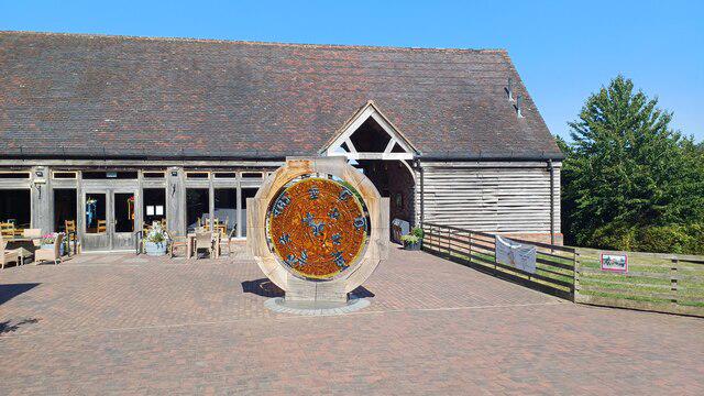
The country park is free to enter, with paid parking by cash or PayByPhone. The operator lists October parking hours of 8am–5pm; check the entrance board before setting off. Toilets and the Tithe Barn café are at the Heritage Centre, subject to their opening hours. Exhibition admission is separate from the outdoor walk. Route planning uses Bosworth Battlefield Heritage Centre’s Battlefield Trail map and current visitor information: https://www.bosworthbattlefield.org.uk/visit-us/explore-bosworth/country-park. The plotted route adds the canal viewpoint to the heritage paths.