

Wythburn Fell
Good walks are even better shared.
NY3112 : Nab Crags
Michael Graham Photo source
Overview
Wythburn Fell: A Hidden Gem in the Lake District
Nestled quietly amidst the flurry of more famous peaks in the Lake District, Wythburn Fell boasts an elevation of 570 meters, making it a favourite among those seeking a bit of peace and quiet (or perhaps just a less crowded summit selfie).
Geology
The fell is predominantly shaped from volcanic rock, notably andesite. As you trek, you may notice the jagged features of the landscape, remnants of the earth's fiery past. It's a reminder of how the surrounding beauty evolved over millions of years—a story etched in stone.
Routes
A popular route begins in Wythburn village. This scenic trail, covering about 3.5 kilometers and taking around 2.5 hours, weaves through verdant woodlands and rocky paths. Although it’s a moderately challenging climb, it’s well worth the effort—especially when you reach the summit!
Summit Features
At the top, you’ll find a prominent cairn and a stone shelter. Here, intrepid hikers often enjoy a scenic picnic with the stunning views as their backdrop. Just watch out for any rogue sheep—they're known to be particularly fond of curious visitors!
Terrain
Wythburn Fell offers a medley of terrains: grassy knolls, rocky outcrops, and the odd bog. Yes, footwear may face a slight battle with the mud, but that just adds to the fun, doesn’t it?
Views
From the summit, the panorama is nothing short of breathtaking. On a clear day, witness the sparkling Thirlmere Reservoir many meters below and soak in views of Helvellyn and the North Pennines in the distance. Late spring through early autumn is optimal for visibility and a riot of wildflower colour.
Hazards
Be mindful of the rocky paths and boggy patches—they have a knack for tripping up the unwary. Approach with caution, and your boots will thank you!
Access
Getting to Wythburn is relatively straightforward. The nearest car park can be found in Wythburn village—though it fills up quickly during peak times. Alternatively, those using public transport can take the 555 bus service that stops near the Wythburn Hotel.
Facilities
While the fell boasts no facilities, the nearby Wythburn village offers a charming pub and the Lake View Café—perfect for a post-hike refreshment!
History
The name Wythburn translates to 'the burn of the willow' from Old Norse, highlighting its deep-rooted history. This fell may be smaller than its famous neighbours, but its peaceful aura and hidden gems make it worth a visit.
Conclusion
In conclusion, Wythburn Fell is a splendid choice for a hike. Whether you’re an old hand or new to the trails, the mixture of stunning views, diverse terrain, and tranquil atmosphere makes it a delightful escape in the heart of the Lake District.
Happy hiking!
Explore routes near Wythburn Fell
Walks starting near this hill. Open a route to check its map, distance and full itinerary.
Bow Fell from Langdale
View route
Scafell Pike from Seathwaite via the Corridor Route
View route
Helvellyn via Striding Edge
View route
Striding Edge, Helvellyn and Catstye Cam
View route
Route planning notes
These notes describe possible approaches. Check a route's map and access information when planning your walk.
Wythburn to Wythburn Fell
A scenic ascent starting from Wythburn village, leading through lush greenery and rocky paths to the summit.
Make a day of it, together
Find someone to share the walk with, or organise a day out along a route you like.
Photo Gallery
View all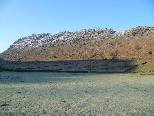 Photo could not load
NY3112 : Nab Crags
Michael Graham
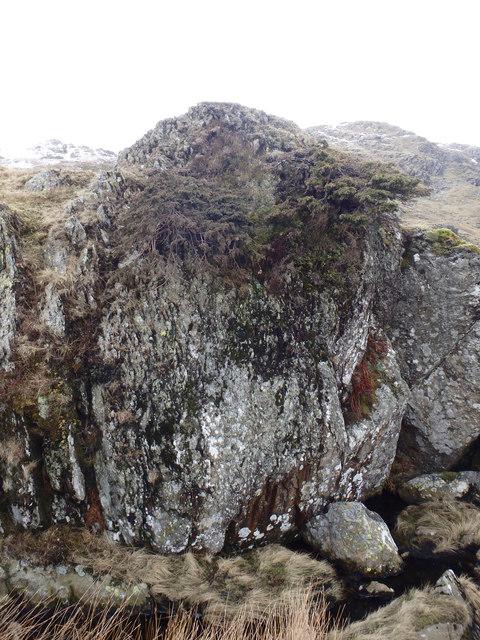 Photo could not load
NY3112 : Juniper on a Rock
Michael Graham
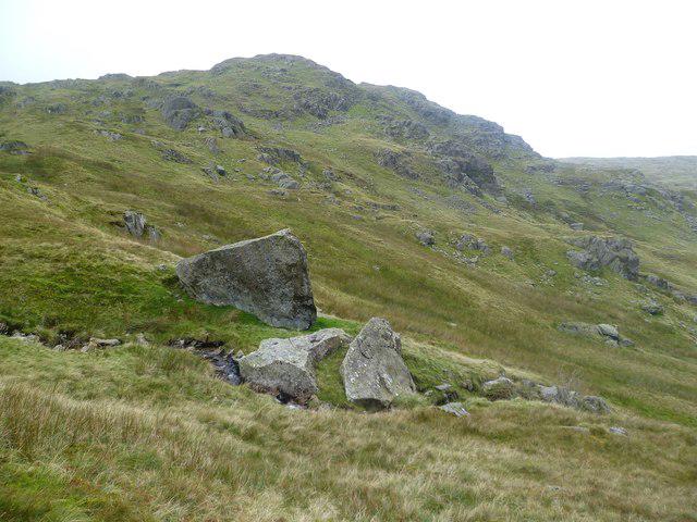 Photo could not load
NY3112 : Boulders above Nab Crags
Michael Graham
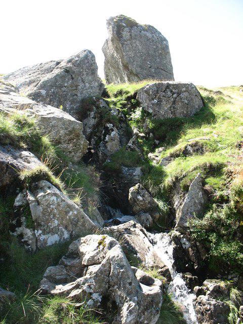 Photo could not load
NY3112 : Small waterfall on Wythburn Fell
David Purchase
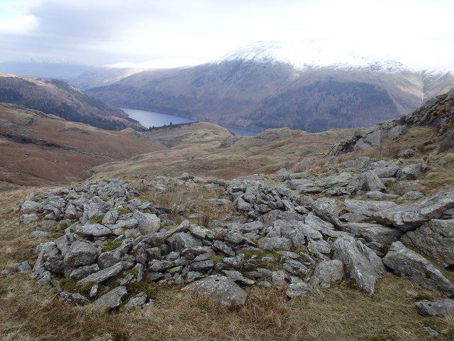 Photo could not load
NY3112 : Ruin, Nab Crags
Michael Graham
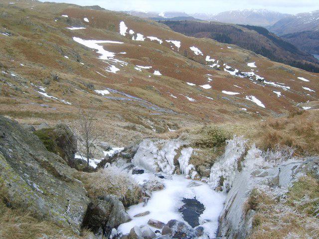 Photo could not load
NY3112 : Icy Gill
Michael Graham
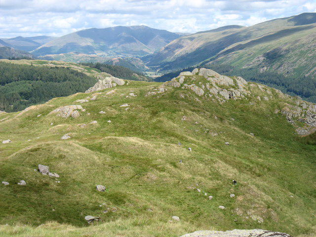 Photo could not load
NY3112 : Wythburn Fell
David Purchase
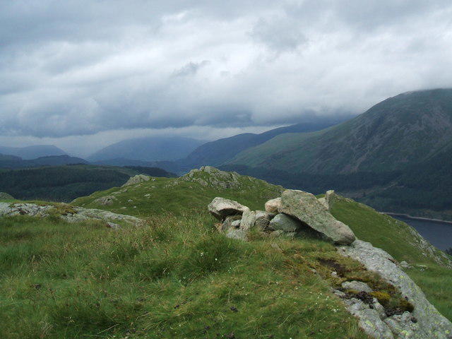 Photo could not load
NY3112 : Wythburn Fell
David Brown
Hill facts and local notes
Classifications
Elevation
508m
1,667 ft
Prominence
8m
Coordinates
54.5035, -3.0642
NY311125
OS Map
90
Explorer: OL5S
At the Summit
The summit features a prominent cairn and offers a stone shelter for weary trekkers. A great place for a natter and a bite if the weather's fine!
Terrain & Geology
Predominantly volcanic rock such as andesite, mixed with some sedimentary deposits. The rough terrain hints at the geological activity that shaped this area millions of years ago.
Views & Scenery
On a clear day, the views extend over Thirlmere Reservoir, the surrounding fells including Helvellyn, and the distant peaks of the North Pennines.
History & Heritage
Name Origin
The name 'Wythburn' is derived from Old Norse, meaning 'the burn (stream) of the willow', highlighting its natural significance.
Historical Significance
Wythburn Fell is less frequented than its more popular neighbours, offering a tranquil escape and a taste of the area’s rich history.
Getting There & Facilities
Parking
There is a small car park at Wythburn, which is often full during peak seasons, so arrive early to secure a spot.
Public Transport
The nearest bus stop is at the Wythburn Hotel, which is serviced by the 555 bus route from Keswick.
Nearby Facilities
There are no facilities directly on the fell itself, but the nearby village of Wythburn has a quaint pub and the Lake View Café offering refreshments.
Safety Information
Known Hazards
- Watch out for loose stones and the occasional bog; they have a mischievous reputation for claiming unsuspecting boots.
General Safety Tips
- Check weather conditions before setting out
- Carry appropriate clothing and equipment
- Let someone know your planned route
- Take a map, compass, and GPS device
- Carry emergency supplies: food, water, first aid kit, torch
Hills
Some common questions about the hills answered
Are there group walks up Wythburn Fell?
Many walkers use Walkmates to join or organise walks with others. You can check for group walks around Wythburn Fell through the maps
Are there other walkers around Wythburn Fell?
Activity varies by location and time, but Walkmates lets you see whether others have shared walks or shown interest in this area. Find other people through the walking friends search walking friends for Wythburn Fell search or of course create your own walk for Wythburn Fell
Can I organise a walk to Wythburn Fell?
Yes. If there aren’t any walks listed already, you can create a walk and make it available for others to join.
If you're signed up to Walkmates, you can create a walk to Wythburn Fell.
How do I find a walk up this hill?
There are often multiple ways to walk this hill, depending on experience and route preference. Walkmates helps you explore walks and routes that others have shared.
Can I suggest a new route up Wythburn Fell?
Yes. You can suggest or create routes to share with others. Walkmates focuses on the social side of walking, so routes are used to help people organise walks and explore areas together, rather than as detailed navigation tools or route libraries.
Other uses really appreciate knowledgeable walkers sharing their routes. Share your favourite route to Wythburn Fell here
The is an error or something incorrect about this hill. How do I let you know?
We always strive to keep the information on Walkmates as accurate as possible. If you find an error, please let us know through the contact form and we'll aim to correct it as quickly as possible
Community Discussion
Comments
Location
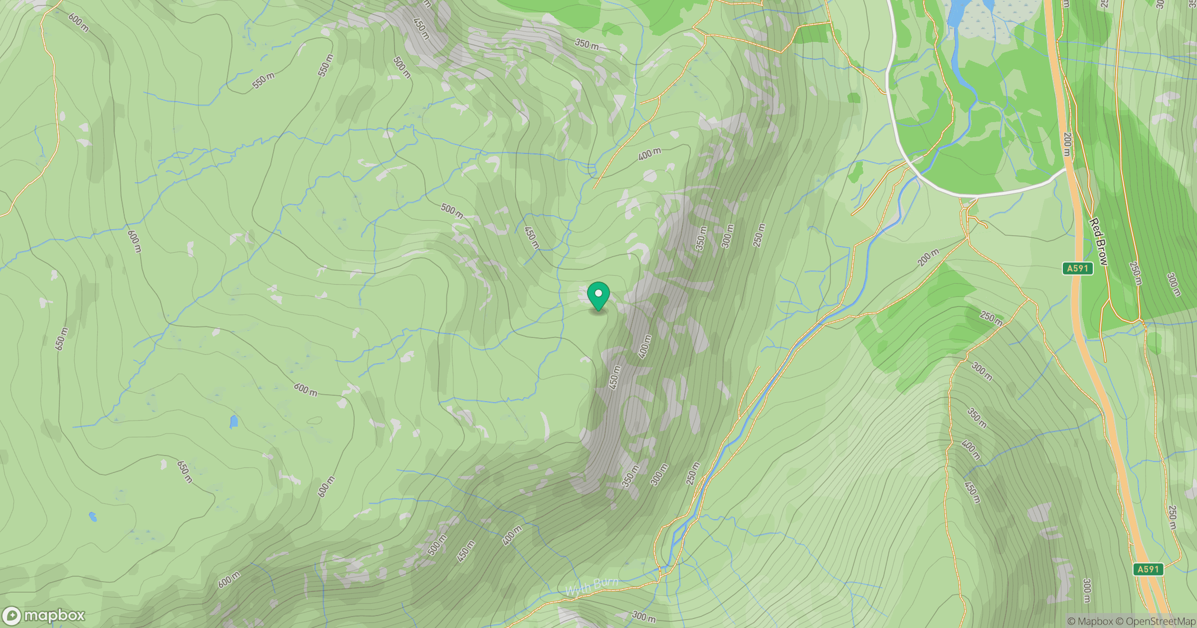
Grid reference: NY311125
View on OpenStreetMapOpens a map in a new tab, centred on the hill.

No comments yet. Be the first.