

Turner's Hill
Good walks are even better shared.
SO9688 : Access road beside Dudley Golf Club
Row17 Photo source
Overview
Turner's Hill
Turner's Hill, perched proudly in the South Downs National Park, is a delightful spot for hikers and outdoor enthusiasts alike. At an elevation of 265 meters, it's a Marilyn – and no, we’re not talking about some Hollywood starlet!
Geology
The hill is composed of chalk, a soft material that lends itself to easy erosion. This chalk landscape creates an interesting terrain where you can observe various flora and fauna throughout the seasons.
Access and Parking
Getting to Turner's Hill is a doddle. There’s parking available in the quaint village of Turners Hill, just a brisk 1 km walk to the base. If you're coming by public transport, you're in luck! Buses from East Grinstead zip you to the village with regular frequency.
The Route
For a pleasant adventure, try the Turner's Hill Circular Walk. Spanning 5.5 km, it’ll take you about 1.5 hours to complete, depending on how many selfies you take! Moderately challenging with some charming woodland and lovely views, this route is perfect for a Sunday stroll, or a Tuesday, if you fancy!
Summit Features
At the summit, you’ll find a trig point watching over the land like an old sentinel, often surrounded by the local sheep who seem to think they own the place. It’s a great spot to kick back, take in the vista, and perhaps contemplate life—just don't forget to snap a pic!
Terrain and Views
Expect grassy surfaces that might turn boggy if the weather’s been a bit soggy. The views are splendid, especially during spring and autumn. You can spot the North Downs and stretches of the picturesque Weald, making it a photographer's dream.
Facilities
Post-hike, swing by one of the local pubs or cafés in Turners Hill for a well-deserved cuppa or bite to eat. Just remember, while there’s charm aplenty, toilet facilities are as scarce as a local celebrity!
History
The name Turner's Hill likely harks back to its historical use as a gathering point for sheep herding. Locals have long enjoyed its comforts and scenery, making it a cherished spot for generations.
In summary, whether you’re an avid hiker or just fancy a wander, Turner's Hill has something for everyone. So grab your walking boots and get on with it!
Last Updated
2023-10-01
Source
Ordnance Survey
Explore routes near Turner's Hill
Walks starting near this hill. Open a route to check its map, distance and full itinerary.
Quinton Walk with Men Walking & Talking
View route
Baggeridge Country Park: Bag Pool, Wishing Pools and woodland circuit
View route
Clent Hills: Buzzard Trail and Four Stones
View route
Wombourne to Castlecroft: South Staffordshire Railway Walk
View route
Route planning notes
These notes describe possible approaches. Check a route's map and access information when planning your walk.
Turner's Hill Circular Walk
A scenic circular route that takes you through beautiful woodland and offers stunning views over the surrounding countryside.
Make a day of it, together
Find someone to share the walk with, or organise a day out along a route you like.
Photo Gallery
View all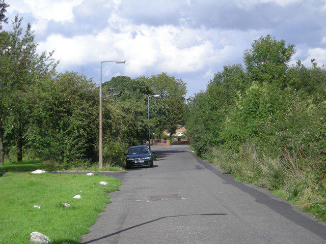 Photo could not load
SO9688 : Access road beside Dudley Golf Club
Row17
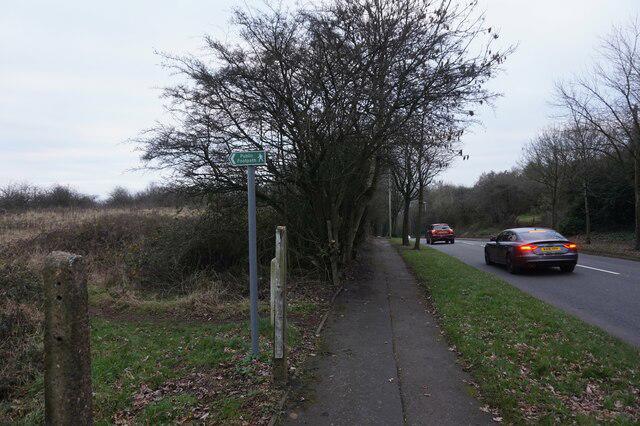 Photo could not load
SO9688 : Public Footpath on Portway Hill
Ian S
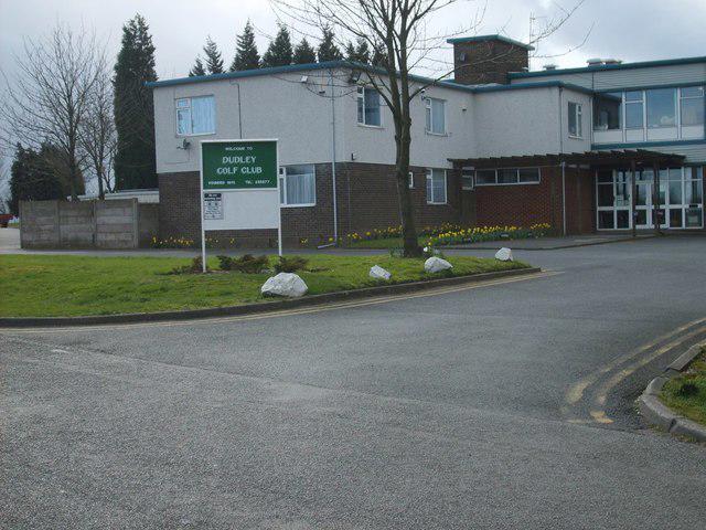 Photo could not load
SO9688 : Dudley Golf Club
Gordon Griffiths
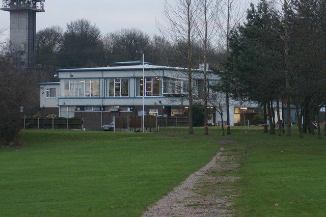 Photo could not load
SO9688 : Club House at Dudley Golf Club
Ian S
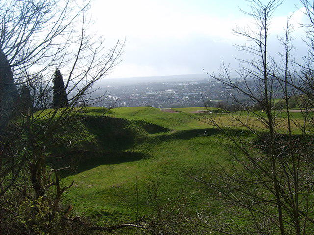 Photo could not load
SO9688 : Dudley View
Gordon Griffiths
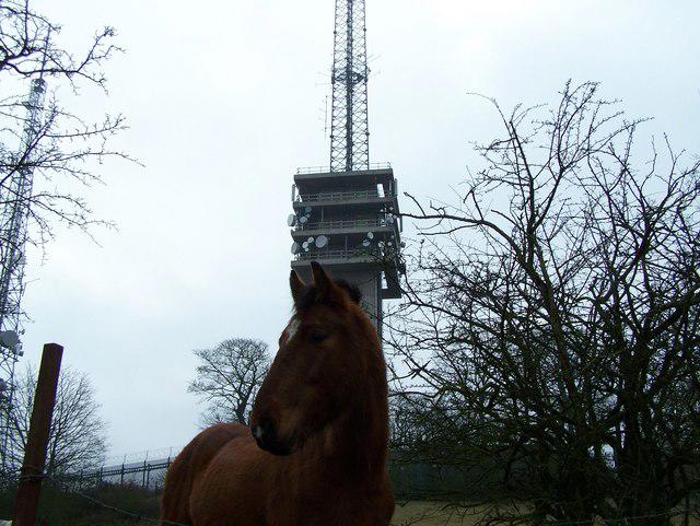 Photo could not load
SO9688 : Turners Hill Mast
Markb03
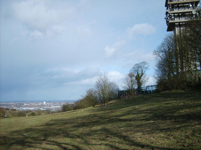 Photo could not load
SO9688 : Turner's Hill View
Gordon Griffiths
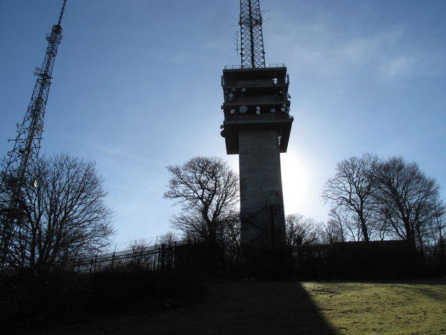 Photo could not load
SO9688 : Turner's Hill
Rude Health
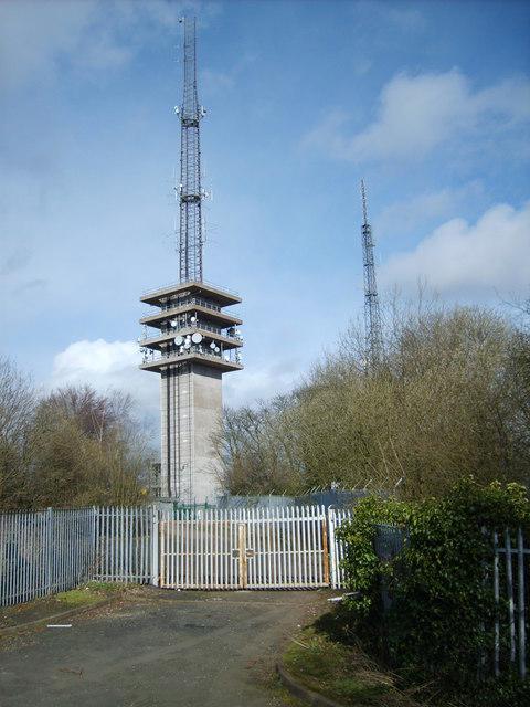 Photo could not load
SO9688 : Dudley Masts
Gordon Griffiths
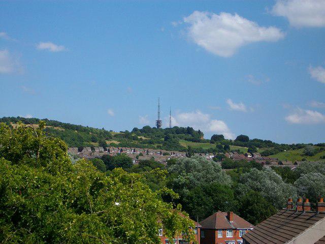
SO9688 : Turners Hill radio masts
Stephen Rogerson
Hill facts and local notes
Classifications
Elevation
271m
890 ft
Prominence
87m
Coordinates
52.4964, -2.0494
SO967887
OS Map
139
Explorer: 219N 219S
At the Summit
At the summit, you'll find a quaint trig point marking the highest point, often adorned with a few cheeky sheep keeping watch.
Terrain & Geology
The hill is composed of chalk, characteristic of the South Downs, resulting in a relatively soft and easily eroded surface.
Views & Scenery
On a clear day, enjoy views of the Weald and the distant North Downs, along with the sprawling fields of Sussex.
History & Heritage
Name Origin
The name 'Turner's Hill' likely derives from the old English term for a hill used for turning sheep.
Historical Significance
A site of historical interest, it has been a gathering point for local walks and country events for generations.
Getting There & Facilities
Parking
There is parking available at the nearby village of Turners Hill, approximately 1 km from the hill's base.
Public Transport
Regular buses operate to Turners Hill from nearby towns, most notably East Grinstead.
Nearby Facilities
The nearby village has a couple of pubs and cafés where you can grab a bite after your hike, though toilet facilities are limited.
Safety Information
Known Hazards
- Wet and muddy conditions can make paths slippery; exercise caution, especially on steeper sections.
General Safety Tips
- Check weather conditions before setting out
- Carry appropriate clothing and equipment
- Let someone know your planned route
- Take a map, compass, and GPS device
- Carry emergency supplies: food, water, first aid kit, torch
Hills
Some common questions about the hills answered
Are there group walks up Turner's Hill?
Many walkers use Walkmates to join or organise walks with others. You can check for group walks around Turner's Hill through the maps
Are there other walkers around Turner's Hill?
Activity varies by location and time, but Walkmates lets you see whether others have shared walks or shown interest in this area. Find other people through the walking friends search walking friends for Turner's Hill search or of course create your own walk for Turner's Hill
Can I organise a walk to Turner's Hill?
Yes. If there aren’t any walks listed already, you can create a walk and make it available for others to join.
If you're signed up to Walkmates, you can create a walk to Turner's Hill.
How do I find a walk up this hill?
There are often multiple ways to walk this hill, depending on experience and route preference. Walkmates helps you explore walks and routes that others have shared.
Can I suggest a new route up Turner's Hill?
Yes. You can suggest or create routes to share with others. Walkmates focuses on the social side of walking, so routes are used to help people organise walks and explore areas together, rather than as detailed navigation tools or route libraries.
Other uses really appreciate knowledgeable walkers sharing their routes. Share your favourite route to Turner's Hill here
The is an error or something incorrect about this hill. How do I let you know?
We always strive to keep the information on Walkmates as accurate as possible. If you find an error, please let us know through the contact form and we'll aim to correct it as quickly as possible
Community Discussion
Comments
Location
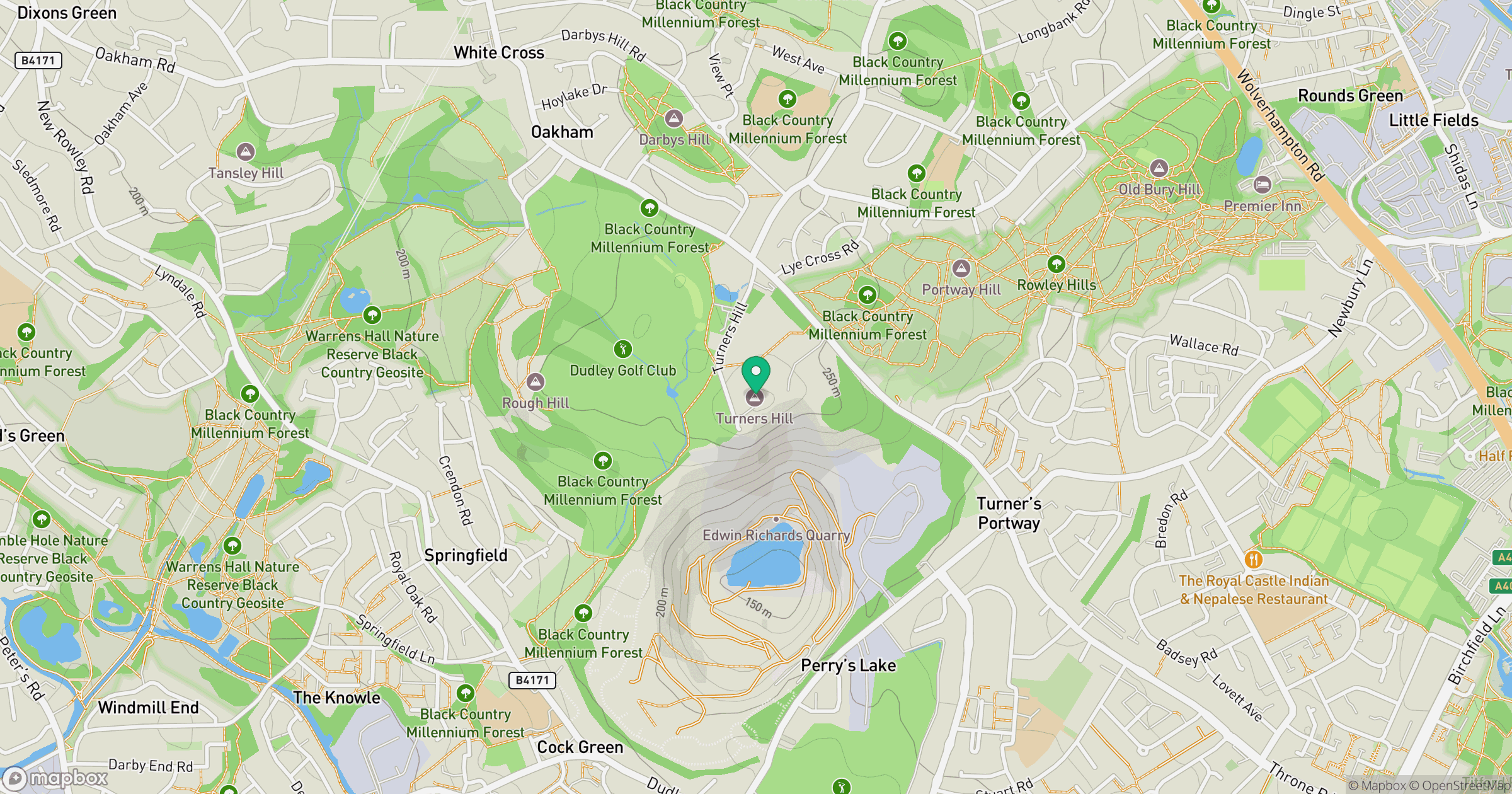
Grid reference: SO967887
View on OpenStreetMapOpens a map in a new tab, centred on the hill.
Nearby Hills
Worcestershire Beacon
425m

The Wrekin
407m
Titterstone Clee Hill
533m
The Roaches
505m
Long Mynd - Pole Bank
517m
No comments yet. Be the first.