
Rush Hill
Good walks are even better shared.
Overview
Rush Hill: The Understated Star of the Peak District
Nestled in the heart of the Peak District, Rush Hill stands as an unassuming giant, embodying the charm and rugged beauty of this beloved national park. At an elevation of 230 meters, it may not claim the title of being the tallest hill in the region, but it certainly is a fine spot for a leisurely hike and spectacular views.
Geology
The predominant geology of Rush Hill is gritstone, a staple for climbers and hikers alike. This tough, durable rock forms the essence of many trails in the Peak District. Along with the gritstone, limestone patches provide a hint of geological diversity, creating a fascinating environment for both nature and geology enthusiasts.
Routes
Rush Hill Circular Walk
Starting from the picturesque village of Edale, this circular route spans approximately 8 km and takes around 3 hours to complete. The walk is moderately challenging and rewards adventurers with breathtaking scenery and possibly a surprise encounter with a sheep or two.
Summit Features
Reaching the summit reveals a quaint stone cairn that proudly marks the high point. The panoramic views from here are nothing short of enchanting, with sweeping vistas that display the ruggedness of the Peak District and onlookers can even spot the urban outlines of Manchester far in the distance.
Terrain Type
The terrain varies from gentle, grassy slopes to rocky outcrops, making it an interesting trek for hikers with varied skills. Just be wary of the muddy patches that seem to multiply like rabbits after a rain shower!
Views
On a clear day, the summit offers remarkable views, including landmarks like Kinder Scout and Mam Tor. The best seasons to experience these sights are in spring and early autumn when landscapes are alive with colour and the visibility is at its peak.
Hazards
While Rush Hill is a friendly hill, it does have its quirks. Muddy and slippery paths can pose a small challenge, especially in the wet seasons. Always keep a lookout for the ever-changing weather; in these parts, it's known to change faster than you can say 'raincoat'.
Nearby Summits
If you find yourself feeling adventurous, nearby summits such as Kinder Scout and Mam Tor offer additional opportunities for exploration and breathtaking views.
Access
Nearest Parking
The convenient car park at Edale village is the best bet for drivers, though be sure to arrive early on sunny weekends to avoid parking wars!
Public Transport
Edale railway station is just a stone's throw away, providing regular connections from Manchester and Sheffield—making it easy for those looking to leave the car at home.
Nearest Town
The delightful village of Edale is a haven for walkers and offers all the amenities you could need pre- or post-hike, including quaint cafes and charming pubs.
Facilities
Edale is well-equipped for visitors, featuring cosy cafes and essential public toilets. So, no need to worry about finding sustenance after hiking.
History
Name Meaning
The mountain's name combines the Old Norse 'Rush' (for river) and ‘Hill’ (you guessed it!). Perhaps it could also mean 'a lovely place to hike when the sun is shining'—though that's up for debate!
Significance
While not the tallest hill around, Rush Hill has established itself as a beloved destination among walkers, showcasing the beauty of the Peak District and contributing to local hiking culture.
In conclusion, Rush Hill offers a delightful mix of scenery, accessibility, and well-deserved charm, making it a gem worth exploring in the Peak District. So grab your boots, pack your lunch, and get ready to embrace the great outdoors!
Explore routes near Rush Hill
Public walks starting within 80 km of this hill. Nearby does not mean a route reaches the summit; check its map and access before setting out.
No public routes are currently listed within 80 km of Rush Hill on Walkmates. This does not mean there are no paths here. Explore the map and check local access information before planning a walk.
Route planning notes
These notes describe possible approaches, not verified navigable routes or permission to cross land. Check current paths, local access rules and conditions before setting out.
Rush Hill Circular Walk
A scenic circular route starting from Edale, offering stunning views and a chance to take in the local wildlife.
Make a day of it, together
Find someone to share the walk with, or organise a day out along a route you like.
Hill facts and local notes
Classifications
Elevation
197m
646 ft
Prominence
114m
Coordinates
53.8406, -9.1523
M242885
OS Map
31
At the Summit
The summit features a modest stone cairn, marking the high point, along with panoramic views and a friendly gust of wind to remind you it’s not just a gentle hill.
Terrain & Geology
Rush Hill primarily consists of gritstone, a common rock type found in the Peak District, known for its durability and excellent climbing qualities. The limestone that underlies some of the area adds diversity to the landscape.
Views & Scenery
From the summit, you can see the rolling hills of the Peak District, the distinctive edges of Kinder Scout, and, on a clear day, the distant skyline of Manchester.
History & Heritage
Name Origin
The name 'Rush' is thought to derive from the Old Norse for 'river', while 'Hill' is simply what it is—a hill!
Historical Significance
Rush Hill may not have the grandeur of some of its taller neighbours, but it has been a cherished hiking spot for generations, playing a role in the local walking culture.
Getting There & Facilities
Check current local access restrictions, parking rules and transport timetables before travelling. These notes do not confirm public access to the summit.
Parking
There is a designated car park at Edale Village, about 3 km from the base of the Rush Hill route. It can get busy, especially on weekends, so arrive early to nab a spot.
Public Transport
Edale railway station is the nearest, offering direct trains from Manchester and Sheffield, making it a convenient choice for those using public transport.
Nearby Facilities
Edale offers several cafes, pubs, and public toilets, ensuring you're well-fueled and prepared before your adventure.
Safety Information
Known Hazards
- Mud and slippery paths, especially after rain. Keep an eye out for sudden changes in weather—it's known to be fickle around here!
General Safety Tips
- Check weather conditions before setting out
- Carry appropriate clothing and equipment
- Let someone know your planned route
- Take a map, compass, and GPS device
- Carry emergency supplies: food, water, first aid kit, torch
Hills
Some common questions about the hills answered
Are there group walks up Rush Hill?
Many walkers use Walkmates to join or organise walks with others. You can check for group walks around Rush Hill through the maps
Are there other walkers around Rush Hill?
Activity varies by location and time, but Walkmates lets you see whether others have shared walks or shown interest in this area. Find other people through the walking friends search walking friends for Rush Hill search or of course create your own walk for Rush Hill
Can I organise a walk to Rush Hill?
Yes. If there aren’t any walks listed already, you can create a walk and make it available for others to join.
If you're signed up to Walkmates, you can create a walk to Rush Hill.
How do I find a walk up this hill?
There are often multiple ways to walk this hill, depending on experience and route preference. Walkmates helps you explore walks and routes that others have shared.
Can I suggest a new route up Rush Hill?
Yes. You can suggest or create routes to share with others. Walkmates focuses on the social side of walking, so routes are used to help people organise walks and explore areas together, rather than as detailed navigation tools or route libraries.
Other uses really appreciate knowledgeable walkers sharing their routes. Share your favourite route to Rush Hill here
The is an error or something incorrect about this hill. How do I let you know?
We always strive to keep the information on Walkmates as accurate as possible. If you find an error, please let us know through the contact form and we'll aim to correct it as quickly as possible
Community Discussion
Comments
Location
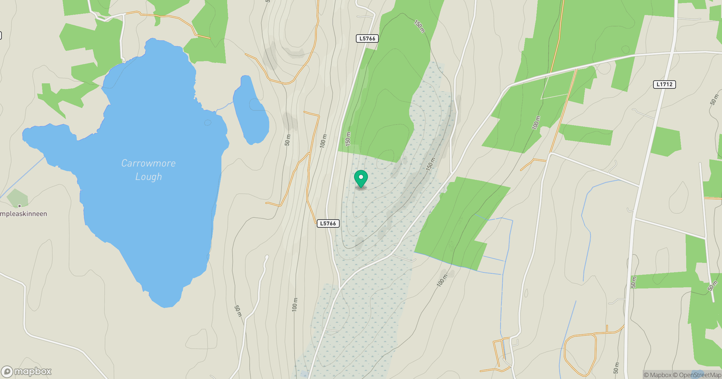
Grid reference: M242885
View on OpenStreetMapOpens a map in a new tab, centred on the hill.
Hills within 30 km
Straight-line distance, not a walking route or confirmation of access.
Slieve Carn [Cuillalea] [Sliabh Chairn]
262m
Knockaglana
154m
Farbreiga [Fear Breige]
395m
Crucknaree
297m
Burren
396m
No comments yet. Be the first.