
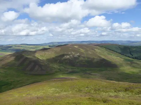
Riding Hill
Good walks are even better shared.
Overview
Riding Hill: A Hiker's Haven
Overview
Nestled in the picturesque Northumberland National Park, Riding Hill offers an inviting escape for hikers and outdoor enthusiasts alike. It may not be the tallest hill on the block, but what it lacks in height, it more than compensates for with stunning views and captivating geology.
Geology
Riding Hill boasts intriguing volcanic rocks that tell tales of ancient earth processes. As you navigate rocky outcrops and grassy stretches, take a moment to appreciate the unique formations that have stood the test of time — perfect for geology buffs and curious hikers!
Routes
Riding Hill Circular Route
This scenic route is approximately 9.5 km long, and you'll find it ideal for a leisurely day's hike. Winding through a mix of moorland and charming woodlands, it allows plenty of opportunities for wildlife spotting — so keep your eyes peeled!
Direct Ascent from Elsdon
For those short on time, the direct route is a mere 5 km. Although less challenging, it still promises a good workout and brings you to the summit swiftly, leaving you ample time to explore the views.
Summit Features
At the peak, you'll stumble across a humble cairn and a trig point, both markers of the countless adventurers before you. Feel free to snap a photo; after all, it didn’t take all that effort for nothing!
Terrain
Expect a delightful mix of grassy hills with rocky outcrops that might remind you of a giant toddler’s block set — lush, a tad boggy in places, but all perfectly manageable.
Views
From the summit, unforgettable views await. On clear days, the surrounding Northumberland National Park unfolds before you, and you might even spot the shimmering North Sea on the horizon.
Best Seasons
If you want the postcard-perfect views, aim for spring or early autumn when the weather is slightly kinder. Just don't forget to pack a jacket, because when it rains, it pours!
Hazards
Be mindful of the unpredictable weather typical of this region. Mists can roll in faster than a Scottish bagpiper can play a jig. Also, take care on boggy sections as they can swallow an unsuspecting hiker whole!
Access
Nearest Parking
You'll find ample parking at Elsdon, just a stone's throw from the trailhead.
Public Transport
While public transport is available, services can be as erratic as a chicken trying to cross a road. Best to check ahead and plan accordingly.
Nearby Town
Elsdon itself is a delightful little village where you can find a friendly face and a good pint to celebrate your hike!
Facilities
While the summit offers none, the village of Elsdon will welcome you back with open arms and possibly even a scone or two at the pub.
History
The name 'Riding Hill' evokes images of trails and travelers, hinting at its historical use. This hill has undoubtedly witnessed the hoofbeats of many throughout the ages!
Conclusion
Riding Hill may not be the mightiest of peaks, but it rewards those who venture to its top with breathtaking views and a touch of folklore. Pack your map, your sense of humour, and perhaps a snack or two — you’ll want to stay a while!
Explore routes near Riding Hill
Public walks starting within 80 km of this hill. Nearby does not mean a route reaches the summit; check its map and access before setting out.
Cademuir Forest Pilots Trail
View route
Peebles to Neidpath Castle: Tweed Riverside Walk
View route
East Calder: Almondell, Mandela Bridge and River Almond Circuit
View route
Water of Leith: Slateford to Leith
View route
Route planning notes
These notes describe possible approaches, not verified navigable routes or permission to cross land. Check current paths, local access rules and conditions before setting out.
Riding Hill Circular Route
A scenic circular trail starting from the village of Elsdon. This route offers a delightful mix of open moorland and woodland paths, ideal for all levels of hikers.
Direct Ascent from Elsdon
A more straightforward path leading directly to the summit from Elsdon. A perfect option for those who prefer a quick dash to the top.
Make a day of it, together
Find someone to share the walk with, or organise a day out along a route you like.
Photo Gallery
View all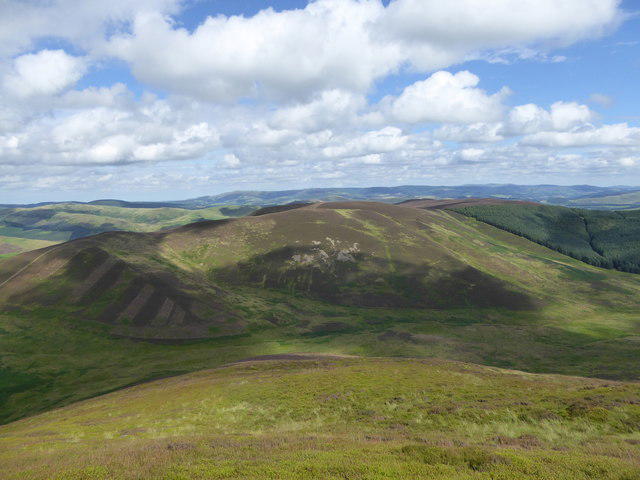 Photo could not load
NT1640 : Riding Hill from Penvalla
Alan O'Dowd
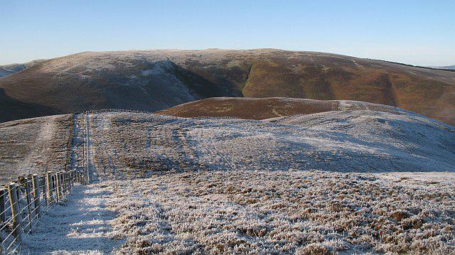 Photo could not load
NT1640 : West ridge, Riding Hill
Richard Webb
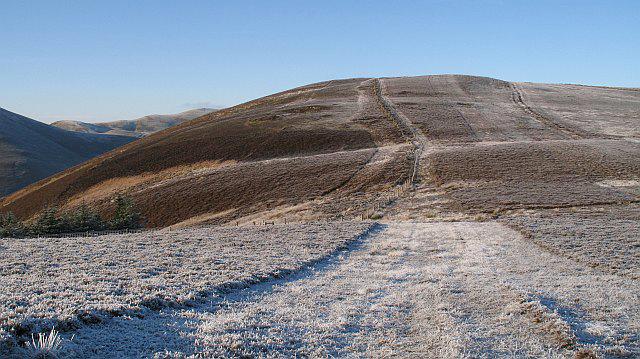 Photo could not load
NT1640 : Col between Riding Hill and Torbank Hill
Richard Webb
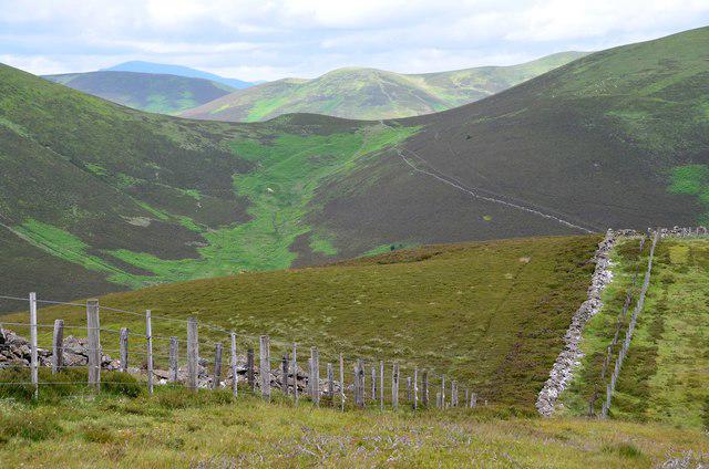 Photo could not load
NT1640 : Westwards from Riding Hill
Jim Barton
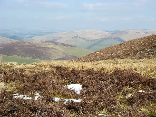 Photo could not load
NT1640 : Remnants of snow on Riding Hill
Eileen Henderson
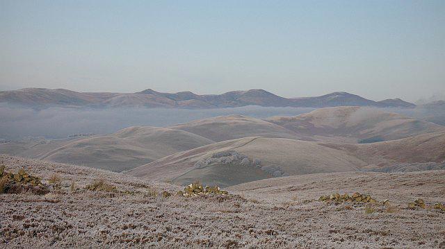 Photo could not load
NT1640 : Ruined dyke, Riding Hill
Richard Webb
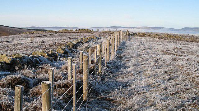 Photo could not load
NT1640 : Summit, Riding Hill
Richard Webb
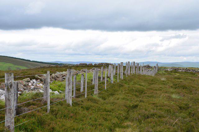 Photo could not load
NT1640 : Summit fence, Riding Hill
Jim Barton
Hill facts and local notes
Classifications
Elevation
480m
1,576 ft
Prominence
126m
Coordinates
55.6476, -3.3300
NT163401
OS Map
72
Explorer: 336
At the Summit
At the summit, you'll find a modest cairn that pays tribute to the countless hikers who have basked in the breathtaking views. A trig point marks the spot, adding a dash of history to your adventure.
Terrain & Geology
Riding Hill is primarily composed of volcanic rock formations, which contribute to its rugged beauty and unique landscape. The area showcases a mixture of basalt and andesite, often forming interesting outcrops that hikers might find captivating.
Views & Scenery
From the summit, enjoy panoramic views of the surrounding Northumberland National Park, including the distant Cheviots, the rolling valleys below, and on a clear day, the beautiful North Sea coast.
History & Heritage
Name Origin
The name 'Riding Hill' is thought to derive from its historical use as a rest point for riders travelling across the moors.
Historical Significance
This area has rich historical significance, dating back to ancient times when it served as a boundary point for local tribes.
Getting There & Facilities
Check current local access restrictions, parking rules and transport timetables before travelling. These notes do not confirm public access to the summit.
Parking
Parking is available at Elsdon, with ample space for cars and easy access to the trailhead for Riding Hill.
Public Transport
Buses run from nearby towns such as Rothbury to Elsdon, but check local schedules as they can be infrequent.
Nearby Facilities
There are no facilities at the summit, but Elsdon has a lovely village pub where you can grab a bite or refreshment after your hike.
Safety Information
Known Hazards
- Be prepared for sudden changes in weather, as the hill can become shrouded in mist. Also, stick to marked paths due to the presence of boggy areas.
General Safety Tips
- Check weather conditions before setting out
- Carry appropriate clothing and equipment
- Let someone know your planned route
- Take a map, compass, and GPS device
- Carry emergency supplies: food, water, first aid kit, torch
Hills
Some common questions about the hills answered
Are there group walks up Riding Hill?
Many walkers use Walkmates to join or organise walks with others. You can check for group walks around Riding Hill through the maps
Are there other walkers around Riding Hill?
Activity varies by location and time, but Walkmates lets you see whether others have shared walks or shown interest in this area. Find other people through the walking friends search walking friends for Riding Hill search or of course create your own walk for Riding Hill
Can I organise a walk to Riding Hill?
Yes. If there aren’t any walks listed already, you can create a walk and make it available for others to join.
If you're signed up to Walkmates, you can create a walk to Riding Hill.
How do I find a walk up this hill?
There are often multiple ways to walk this hill, depending on experience and route preference. Walkmates helps you explore walks and routes that others have shared.
Can I suggest a new route up Riding Hill?
Yes. You can suggest or create routes to share with others. Walkmates focuses on the social side of walking, so routes are used to help people organise walks and explore areas together, rather than as detailed navigation tools or route libraries.
Other uses really appreciate knowledgeable walkers sharing their routes. Share your favourite route to Riding Hill here
The is an error or something incorrect about this hill. How do I let you know?
We always strive to keep the information on Walkmates as accurate as possible. If you find an error, please let us know through the contact form and we'll aim to correct it as quickly as possible
Community Discussion
Comments
Location
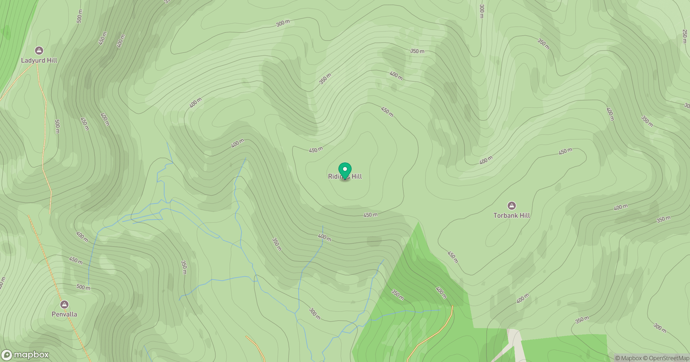
Grid reference: NT163401
View on OpenStreetMapOpens a map in a new tab, centred on the hill.
Hills within 30 km
Straight-line distance, not a walking route or confirmation of access.

No comments yet. Be the first.