

Northward Hill
Good walks are even better shared.
TQ7876 : Saxon Shore Way in High Halstow NNR
N Chadwick Photo source
Overview
Northward Hill: A Hidden Gem in North Kent
Introduction
Nestled in the undulating landscape of North Kent, Northward Hill may not boast towering heights, but it offers a delightful respite for hikers and nature lovers alike. Standing at a modest 39 meters, it provides an immersive experience in the British countryside, showcasing the essence of outdoor charm.
Geology
As you tread the paths of Northward Hill, take a moment to appreciate its geological wonders. The hill is primarily chalk, a testimony to the area’s ancient marine past. Erosion has shaped its contours, creating a unique habitat for various flora and fauna. Don’t forget to glance at the flinty outcrops on your walk; they tell a story of resilience against the elements.
The Route
The Northward Hill Circular Walk is a delightful route that welcomes hikers of all levels. Covering 5.5 km in about 2 hours, this easy trek meanders through picturesque woodlands and open meadows. You might even find a friendly dog or two along the way, ensuring you’re never alone!
Summit Features
At the top, you’re rewarded with a tranquil grassy plateau perfect for a picnic or just soaking in the views. A small plaque marks the summit, serving as a token of your achievement—be sure to snap a quick selfie to commemorate the occasion!
Terrain Type
Expect a mix of grassy slopes and wooded paths, all welcoming underfoot. The varied terrain is not too taxing, making it accessible for families and casual walkers.
Views
From the summit, look southward, where the mighty River Medway greets the horizon. The North Kent marshes stretch out, offering a patchwork of green and gold, especially during the blooming seasons of spring and autumn when the countryside comes alive in colour.
Hazards
While the trails are generally safe, be mindful of muddy patches post-rain. Also, keep an eye out for local wildlife. Springtime can bring lively critters ready to scurry out of your way (or not!).
Nearby Summits
For those wanting a little more elevation, Bredhurst Wood offers nearby paths with slightly greater heights, perfect for an extended adventure.
Access
Getting to Northward Hill is a breeze. The nearest parking is at Hoo St Werburgh Village Hall, just a short jaunt away. Public transport options from Rochester and Chatham make this hill easily accessible for day trippers.
Facilities
While there’s no café on the hill itself, Hoo St Werburgh has charming spots to grab a coffee or some snacks post-hike. Public toilets can also be found here, ensuring you’re prepared for your day out.
Conclusion
In short, Northward Hill may not be the highest peak, but it carries its own weight in natural beauty and charm. Perfect for a leisurely day out with family or a quick getaway for those wanting a breath of fresh air. Pack your sandwiches, don your walking boots, and enjoy a peaceful day among the hills!
Explore routes near Northward Hill
Walks starting near this hill. Open a route to check its map, distance and full itinerary.
Shorne Woods Lakes and Knoll Woodland Walk
View route
Jeskyns Broomfield Loop and Henhurst Lake Walk
View route
Trosley Country Park: Woodland Walk and Weald views
View route
Thorndon Country Park: Jury Hill, woodland and Old Hall Pond
View route
Route planning notes
These notes describe possible approaches. Check a route's map and access information when planning your walk.
Northward Hill Circular Walk
A scenic circular route starting at the nearby village of Hoo St Werburgh, taking you through woodlands and along the hill’s contours.
Make a day of it, together
Find someone to share the walk with, or organise a day out along a route you like.
Photo Gallery
View all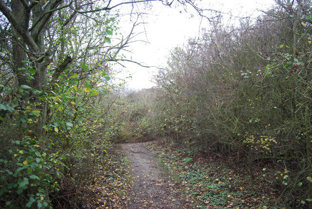 Photo could not load
TQ7876 : Saxon Shore Way in High Halstow NNR
N Chadwick
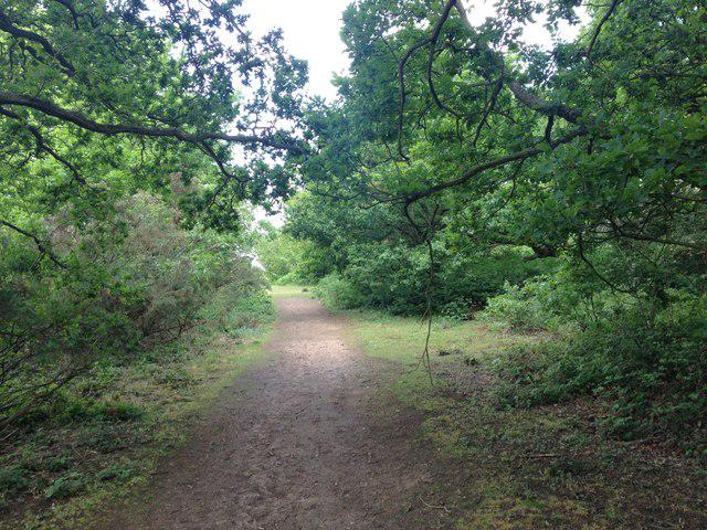 Photo could not load
TQ7876 : Footpath, Northward Hill Nature Reserve
Chris Whippet
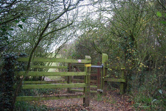 Photo could not load
TQ7876 : Kissing gate, Saxon Shore Way
N Chadwick
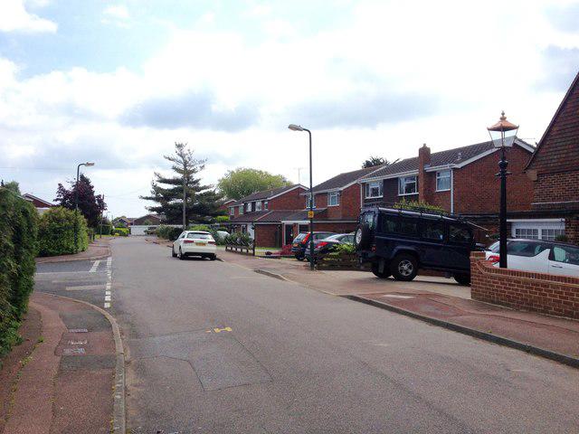 Photo could not load
TQ7875 : Northwood Avenue, High Halstow
Chris Whippet
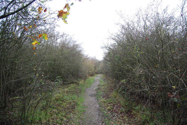 Photo could not load
TQ7876 : Saxon Shore Way, High Halstow NNR
N Chadwick
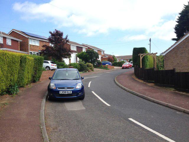 Photo could not load
TQ7875 : Marsh Crescent, High Halstow
Chris Whippet
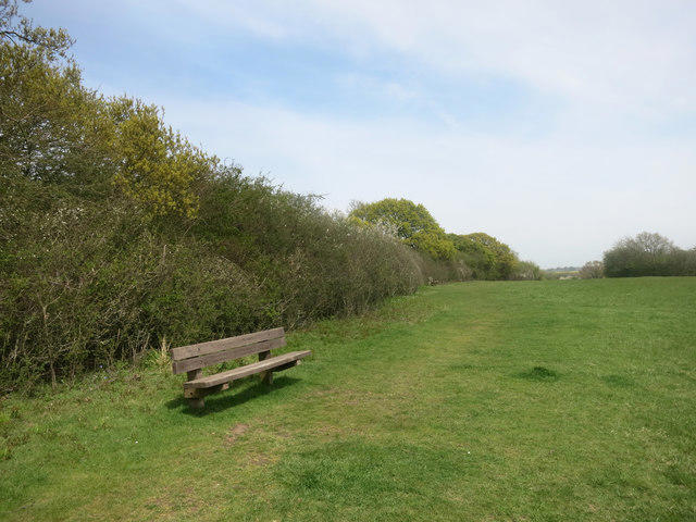 Photo could not load
TQ7876 : Not the Saxon Shore Way
Des Blenkinsopp
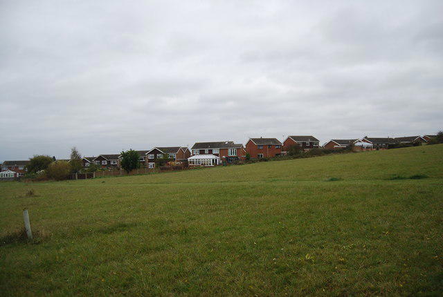 Photo could not load
TQ7876 : Houses on the edge of High Halstow
N Chadwick
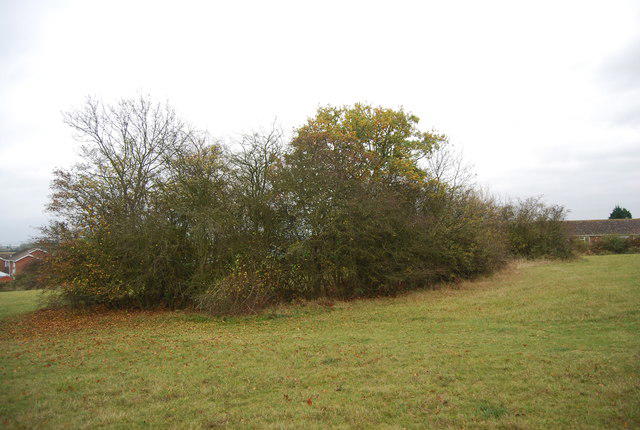 Photo could not load
TQ7876 : Bushes by the Saxon Shore Way
N Chadwick
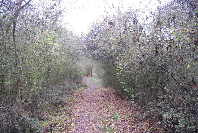
TQ7876 : Saxon Shore Way, High Halstow NNR
N Chadwick
Hill facts and local notes
Classifications
Elevation
66m
217 ft
Prominence
34m
Coordinates
51.4557, 0.5639
TQ782760
OS Map
178
Explorer: 163
At the Summit
The summit features a flat grassy expanse with a few scattered trees and a lovely view of the surrounding countryside. A small plaque commemorating the site can also be found at the peak.
Terrain & Geology
Northward Hill is primarily composed of the chalk formation typical of the North Downs, often adorned with patches of clay and flint. Its geology reveals a history shaped by ancient seas and erosion, making it a fascinating site for geology enthusiasts.
Views & Scenery
On clear days, one can see the estuary of the River Medway to the south and the sprawling landscapes of the North Kent marshes.
History & Heritage
Name Origin
The name 'Northward Hill' reflects its geographical position to the north of Hoo.
Historical Significance
This area has historical significance with remnants of prehistoric activity and is mentioned in various local folklore.
Getting There & Facilities
Parking
There is parking available at Hoo St Werburgh Village Hall (TQ775748) with a short walk to the trailhead.
Public Transport
Buses from Rochester and Chatham stop at Hoo St Werburgh, providing access to the village.
Nearby Facilities
The nearest facilities, including cafes and public toilets, can be found in Hoo St Werburgh, about a 10-minute walk from the hill.
Safety Information
Known Hazards
- Watch out for muddy patches after heavy rainfall and be cautious of local wildlife, especially in spring when animals are more active.
General Safety Tips
- Check weather conditions before setting out
- Carry appropriate clothing and equipment
- Let someone know your planned route
- Take a map, compass, and GPS device
- Carry emergency supplies: food, water, first aid kit, torch
Hills
Some common questions about the hills answered
Are there group walks up Northward Hill?
Many walkers use Walkmates to join or organise walks with others. You can check for group walks around Northward Hill through the maps
Are there other walkers around Northward Hill?
Activity varies by location and time, but Walkmates lets you see whether others have shared walks or shown interest in this area. Find other people through the walking friends search walking friends for Northward Hill search or of course create your own walk for Northward Hill
Can I organise a walk to Northward Hill?
Yes. If there aren’t any walks listed already, you can create a walk and make it available for others to join.
If you're signed up to Walkmates, you can create a walk to Northward Hill.
How do I find a walk up this hill?
There are often multiple ways to walk this hill, depending on experience and route preference. Walkmates helps you explore walks and routes that others have shared.
Can I suggest a new route up Northward Hill?
Yes. You can suggest or create routes to share with others. Walkmates focuses on the social side of walking, so routes are used to help people organise walks and explore areas together, rather than as detailed navigation tools or route libraries.
Other uses really appreciate knowledgeable walkers sharing their routes. Share your favourite route to Northward Hill here
The is an error or something incorrect about this hill. How do I let you know?
We always strive to keep the information on Walkmates as accurate as possible. If you find an error, please let us know through the contact form and we'll aim to correct it as quickly as possible
Community Discussion
Comments
Location
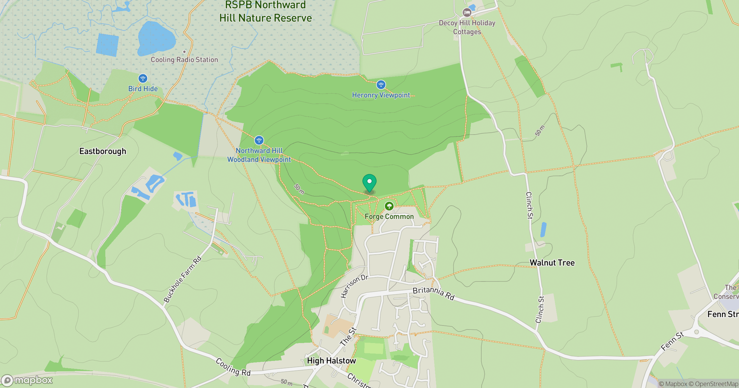
Grid reference: TQ782760
View on OpenStreetMapOpens a map in a new tab, centred on the hill.

No comments yet. Be the first.