

Meall Eachainn
Good walks are even better shared.
Overview
Meall Eachainn: A Highland Gem
Nestled in the heart of the Scottish Highlands, Meall Eachainn is a Corbett standing proudly at 796 meters. With its striking landscapes and rich geology, it captures the essence of outdoor adventures.
Geological Wonders
Meall Eachainn is predominantly formed of ancient metamorphic rocks, showcasing a fascinating geological history. The presence of schists and gneisses offers a glimpse into the profound forces that shaped this area over millions of years. It's a great opportunity for any aspiring geologist or anyone who just loves to ponder over rocks (and who doesn't?)!
Accessibility
Parking can be found near Contin, with a free car park at the trailhead to kick off your adventure. For those relying on public transport, there are regular bus services from Inverness to Contin, providing a stress-free way to reach the start of your hike. The nearest town is Dingwall, about 10 km away, where facilities and provisions can be found.
Routes to the Summit
One popular route is the Inverness to Meall Eachainn Loop, which covers roughly 12 km and takes around four hours to complete. The path meanders through scenic glens, past captivating waterfalls, ensuring that you are constantly surrounded by nature's beauty. Be prepared for a bit of a workout—it's a moderate challenge.
At the Summit
Once you reach the summit, the small stone cairn welcomes you like an old friend. The views from the top are nothing short of spectacular; on a clear day, you'll be treated to sights of Ben Wyvis and the tranquil Monadhliath Mountains. Make sure to bring your camera to capture that perfect summit selfie!
Seasonal Sensations
The best time to experience the breathtaking views from Meall Eachainn is typically from late spring through to early autumn when the heather adorns the landscape and the weather is kinder. Just remember, the Highlands can be unpredictable, so always check the weather before you go.
Adventure Safely
Be mindful of changing weather conditions—what starts as a sunny stroll can turn into a soggy challenge if the clouds roll in. The paths can be muddy, particularly after rain, so sturdy footwear is a must. Keep a keen eye for slippery rocks along the way, and enjoy the journey!
In Conclusion
Whether you're a seasoned hiker or a casual walker, Meall Eachainn offers a fantastic playground for outdoor enthusiasts. With its rich history, stunning views, and geological marvels, this mountain is bound to create lasting memories on your Highland adventure. So lace up those boots, pack a snack, and get ready to explore this hidden gem of the Scottish Highlands!
Finish your day with a cosy coffee back in Dingwall, because nothing tops off a great hike like a warm brew and perhaps a slice of cake!
Explore routes near Meall Eachainn
Public walks starting within 80 km of this hill. Nearby does not mean a route reaches the summit; check its map and access before setting out.
Loch Migdale from Torroy: Spinningdale pinewood and loch shore walk
View route
Ben Klibreck
View route
Culbin Forest: Hill 99, Gravel Pit Ponds and Dragonfly Pool
View route
Findhorn guided night walk
View route
Route planning notes
These notes describe possible approaches, not verified navigable routes or permission to cross land. Check current paths, local access rules and conditions before setting out.
Inverness to Meall Eachainn Loop
A circular route that starts from the car park near the village of Contin and takes you up through scenic glens and past some stunning waterfalls, eventually leading you to the summit with panoramic views.
Make a day of it, together
Find someone to share the walk with, or organise a day out along a route you like.
Photo Gallery
View all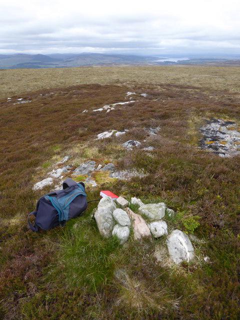 Photo could not load
NC6100 : Meall Eachainn western summit (343 m)
Mick Crawley
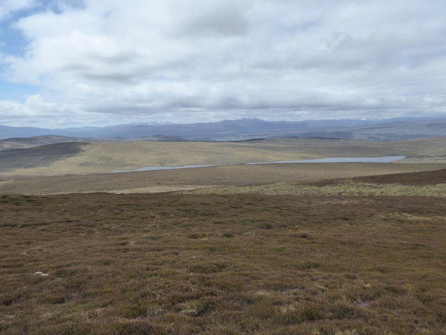 Photo could not load
NC6100 : The heathery western summit of Meall Eachainn
Mick Crawley
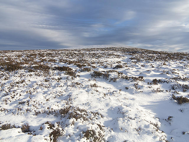 Photo could not load
NC6100 : Approaching the summit of Meall Eachainn
William Starkey
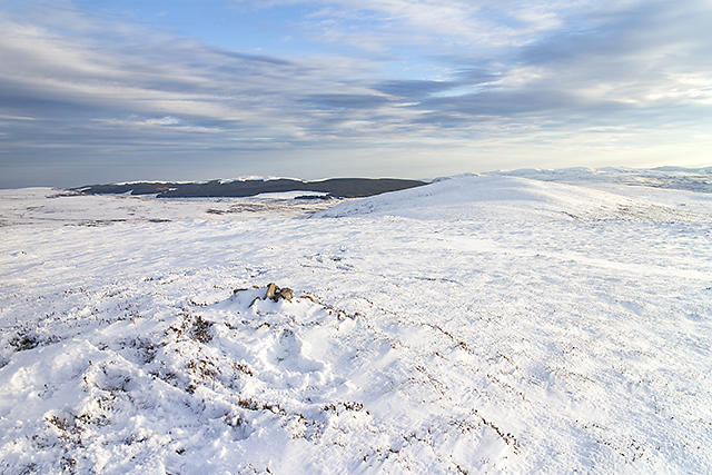 Photo could not load
NC6100 : Meall Eachainn
William Starkey
Hill facts and local notes
Classifications
Elevation
344m
1,127 ft
Prominence
145m
Coordinates
57.9723, -4.3370
NC618005
OS Map
16
Explorer: 441W
At the Summit
The summit features a small stone cairn, offering a perfect spot for a well-deserved rest and a snack. There are also great opportunities for summit selfies with the stunning backdrop of the Highlands.
Terrain & Geology
Meall Eachainn is primarily composed of ancient metamorphic rocks, providing a fascinating glimpse into the geological history of the Scottish Highlands. The rugged landscape features schists and gneisses, shaped by millions of years of glacial action.
Views & Scenery
From the summit, one can enjoy breathtaking views of the surrounding peaks of the Highlands, notably Ben Wyvis and the distant Monadhliath Mountains. On a clear day, the sight is worth a thousand words.
History & Heritage
Name Origin
The name 'Meall Eachainn' translates roughly to 'Hill of Eachann,' with Eachann potentially being a personal name from Gaelic, reflecting the region's rich historical tapestry.
Historical Significance
Like many peaks in the Highlands, Meall Eachainn has been a site for local legends and folklore, often attracting hillwalkers and storytellers alike.
Getting There & Facilities
Check current local access restrictions, parking rules and transport timetables before travelling. These notes do not confirm public access to the summit.
Parking
The nearest parking is available at the car park at the start of the loop trail, located in Contin. It's free, and there’s space for several vehicles, but arriving early during weekends is recommended.
Public Transport
Buses from Inverness to Contin provide an affordable and scenic option, allowing hikers to access the area without needing a car.
Nearby Facilities
In Dingwall, there are several cafes and pub options where you can grab a bite before or after your hike. Public toilets can be found in the town’s centre.
Safety Information
Known Hazards
- Watch out for changing weather conditions, which can turn a benign day into a challenging adventure. Also, be mindful of slippery rocks and potentially muddy paths, especially in wet weather.
General Safety Tips
- Check weather conditions before setting out
- Carry appropriate clothing and equipment
- Let someone know your planned route
- Take a map, compass, and GPS device
- Carry emergency supplies: food, water, first aid kit, torch
Hills
Some common questions about the hills answered
Are there group walks up Meall Eachainn?
Many walkers use Walkmates to join or organise walks with others. You can check for group walks around Meall Eachainn through the maps
Are there other walkers around Meall Eachainn?
Activity varies by location and time, but Walkmates lets you see whether others have shared walks or shown interest in this area. Find other people through the walking friends search walking friends for Meall Eachainn search or of course create your own walk for Meall Eachainn
Can I organise a walk to Meall Eachainn?
Yes. If there aren’t any walks listed already, you can create a walk and make it available for others to join.
If you're signed up to Walkmates, you can create a walk to Meall Eachainn.
How do I find a walk up this hill?
There are often multiple ways to walk this hill, depending on experience and route preference. Walkmates helps you explore walks and routes that others have shared.
Can I suggest a new route up Meall Eachainn?
Yes. You can suggest or create routes to share with others. Walkmates focuses on the social side of walking, so routes are used to help people organise walks and explore areas together, rather than as detailed navigation tools or route libraries.
Other uses really appreciate knowledgeable walkers sharing their routes. Share your favourite route to Meall Eachainn here
The is an error or something incorrect about this hill. How do I let you know?
We always strive to keep the information on Walkmates as accurate as possible. If you find an error, please let us know through the contact form and we'll aim to correct it as quickly as possible
Community Discussion
Comments
Location
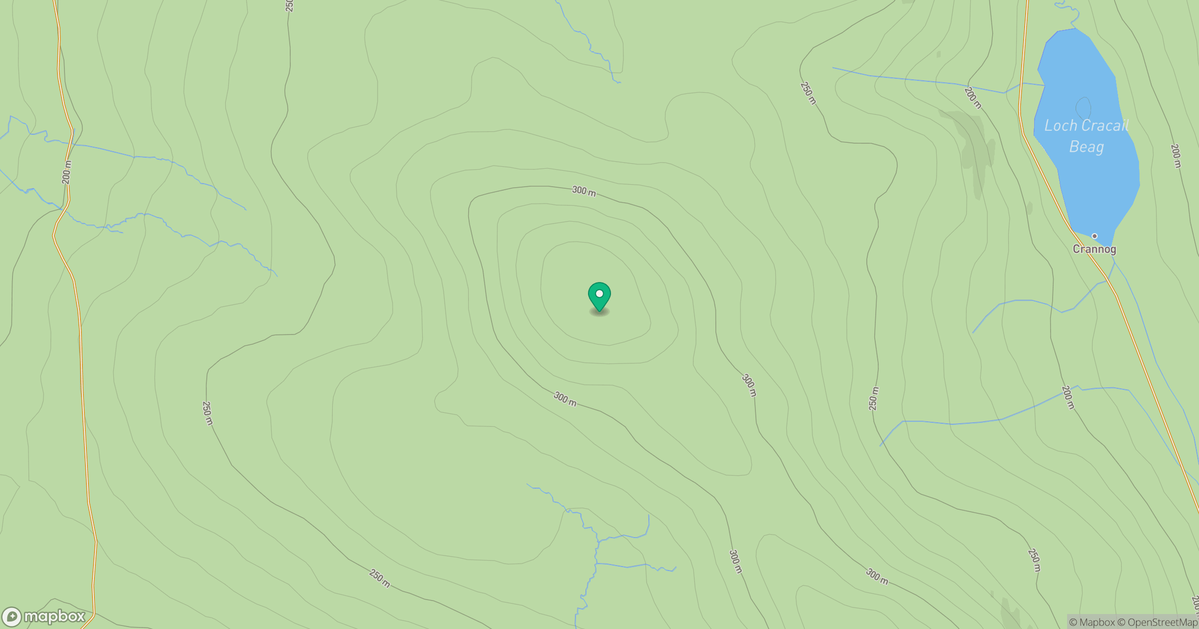
Grid reference: NC618005
View on OpenStreetMapOpens a map in a new tab, centred on the hill.
Hills within 30 km
Straight-line distance, not a walking route or confirmation of access.
An Stoc-bheinn
336m
Cnoc a' Choire Bhuidhe
298m
Meall Dola
323m
Creag a' Ghobhair
345m
Cnoc Dubh Mor
340m
No comments yet. Be the first.