

Balduff Hill
Good walks are even better shared.
Overview
Balduff Hill: A Hiker's Gem
Overview
Balduff Hill, a characteristically charming Marilyn, sits proudly in the Scottish Lowlands, with a modest elevation of 264 meters. Perfect for family outings or a refreshing solo trek, this hill is a delightful part of Scotland's diverse landscapes.
Geology
The hill’s geology consists primarily of mudstone and sandstone, remnants of ancient seabeds that have eroded over millennia. This fascinating backdrop enhances the experience, providing a glimpse into the Earth's deep history.
Routes
Balduff Hill Loop
Starting from the picturesque village of Broughton, the loop offers a smooth path leading up to the hill's summit. Spanning approximately 7.5 km, it should take about 2.5 hours, ideal for all levels. Make sure to pack a wee snack, as the summit makes a lovely picnic spot!
Summit Features
At the summit, adventurers are greeted by a well-constructed cairn, offering a fantastic photo op. Don’t forget to capture the rolling hills spreading out before you! Bring a friend, as the empty space at the top is a great canvas for goofy pictures!
Terrain
Expect a mix of grassy paths with a few rocky sections and the occasional boggy patch that can keep you on your toes (or down in the mud). Hiking boots are a must to ensure you stay comfortably upright.
Views
On a clear day, the panorama from Balduff Hill is nothing short of spectacular! You’ll be treated to sweeping views of the Tweed Valley and, on the horizon, the awe-inspiring Southern Uplands. Spring and early autumn are particularly lovely times to visit when the landscape bursts with colour.
Hazards
Be cautious of the erratic Scottish weather and the bite of mud on shoes, which can make for some unexpected antics! Have a solid plan in case you do encounter wildlife such as adders and ticks; slipping on mud while startled by an unsuspecting adder can leave you with at least a 'tale' to tell!
Nearby Summits
If you fancy extending your adventure, nearby summits like Merrick and Tinto await – perhaps a tick off your bucket list?
Access
Access is quite easy, with a small car park situated near Broughton (DO NOT forget your parking skills). Broughton is serviced by regular buses, allowing for stress-free travel from Edinburgh; just remember your layers!
Facilities
Post-hike, Broughton has delightful local amenities, including a small shop and a charming cafe for a well-deserved treat. You can’t go wrong with tea and cake to round off your day!
History
The name Balduff derives from Gaelic, embodying the cultural significance and historical essence of the area. The hill has seen sheep and shepherds for centuries, making it a vital part of local heritage and pastoral life.
In short, Balduff Hill is more than just a pretty view – it’s a little slice of Scottish life just waiting for you to explore!
Explore routes near Balduff Hill
Public walks starting within 80 km of this hill. Nearby does not mean a route reaches the summit; check its map and access before setting out.
Unled club outing: Glenesk (coach departure)
View route
Unled club outing: Xmas Walk - Bankfoot - Dunkeld (coach departure)
View route
Unled club outing: Angus coastal walk (coach departure)
View route
Unled club outing: Glen Moy/Glenogil (shared-car departure)
View route
Route planning notes
These notes describe possible approaches, not verified navigable routes or permission to cross land. Check current paths, local access rules and conditions before setting out.
Balduff Hill Loop
A pleasant loop that starts from the nearby village of Broughton and ascends to the summit of Balduff Hill, offering a gentle yet engaging trek suitable for those of all ages.
Make a day of it, together
Find someone to share the walk with, or organise a day out along a route you like.
Photo Gallery
View all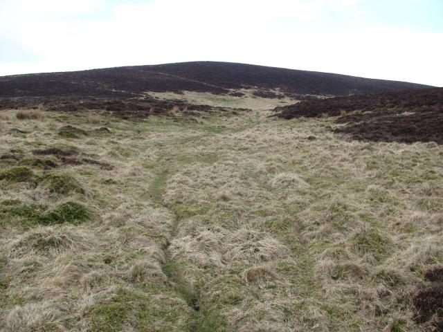 Photo could not load
NO2253 : Balduff Hill
Richard Webb
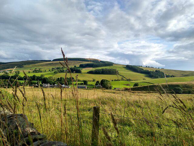 Photo could not load
NO2253 : Balduff Hill
Aleks Scholz
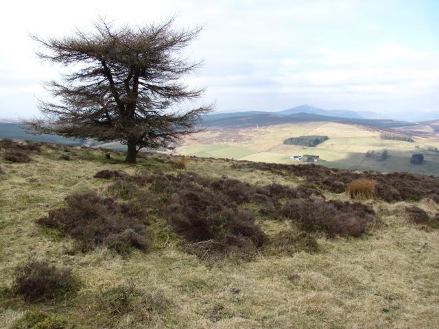 Photo could not load
NO2253 : On Balduff Hill
Richard Webb
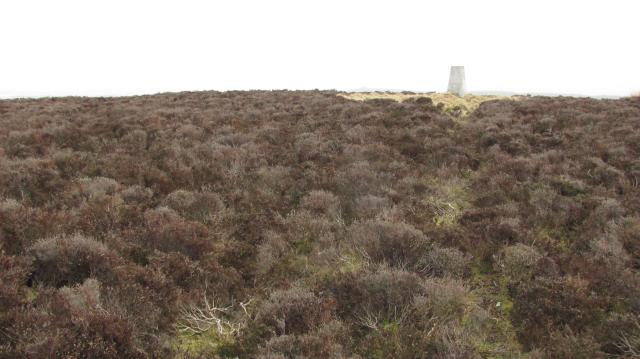 Photo could not load
NO2253 : Balduff Hill
Richard Webb
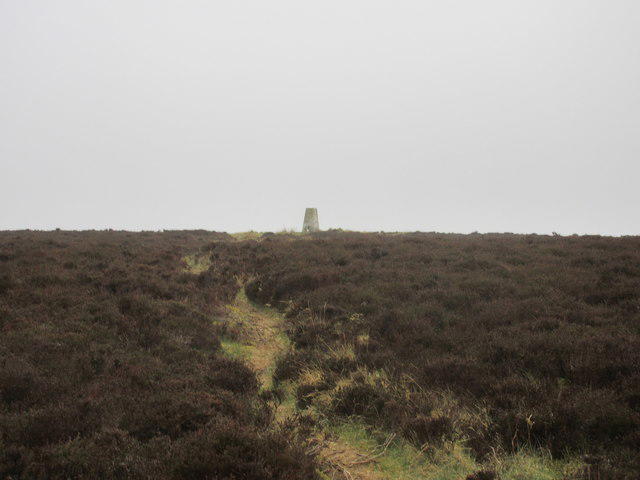 Photo could not load
NO2253 : Pillar on Balduff Hill
Scott Cormie
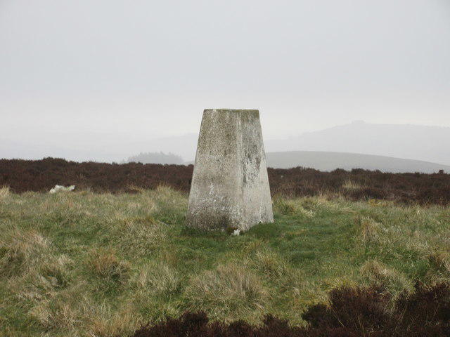 Photo could not load
NO2253 : Trig pillar, Balduff Hill
Scott Cormie
Hill facts and local notes
Classifications
Elevation
425m
1,394 ft
Prominence
141m
Coordinates
56.6677, -3.2669
NO224536
OS Map
53
Explorer: 381
At the Summit
At the summit, you will find a well-established cairn, which offers a perfect spot for a picnic or just to take in the splendid views. It's also a popular place for selfies, so don't forget to strike a pose!
Terrain & Geology
Balduff Hill is predominantly composed of mudstone and sandstone sedimentary rock, characteristic of the region's geological history, which dates back to the Devonian period. The erosion of these rocks has led to dramatic landscapes, perfect for exploration.
Views & Scenery
From the summit, you can enjoy stunning views of the surrounding countryside, including the rolling hills of the Tweed Valley and the distant peaks of the Southern Uplands.
History & Heritage
Name Origin
The name Balduff is believed to derive from the Gaelic 'Ball' meaning 'town' and 'Duth', meaning ‘the land’. It reflects the historical habitation of the area.
Historical Significance
The hill has served as a landmark for local shepherds and serves as a reminder of the pastoral history of the region.
Getting There & Facilities
Check current local access restrictions, parking rules and transport timetables before travelling. These notes do not confirm public access to the summit.
Parking
There is a small car park near Broughton at grid reference NO224536; parking is free but limited, so get there early to secure a spot.
Public Transport
Regular bus services run from Edinburgh to Broughton; the nearest bus stop is about a 15-minute walk from the trailhead.
Nearby Facilities
The nearest facilities can be found in Broughton, including a small shop and a cafe that serves a delightful cup of tea and cakes – perfect for post-hike refuelling.
Safety Information
Known Hazards
- Watch out for sudden changes in weather conditions; the Scottish weather can be as unpredictable as a cat on a hot tin roof!
- Beware of muddy areas, particularly in spring and after rain, as they can be slippery.
- Wildlife such as adders and ticks can be present, particularly in long grass.
General Safety Tips
- Check weather conditions before setting out
- Carry appropriate clothing and equipment
- Let someone know your planned route
- Take a map, compass, and GPS device
- Carry emergency supplies: food, water, first aid kit, torch
Hills
Some common questions about the hills answered
Are there group walks up Balduff Hill?
Many walkers use Walkmates to join or organise walks with others. You can check for group walks around Balduff Hill through the maps
Are there other walkers around Balduff Hill?
Activity varies by location and time, but Walkmates lets you see whether others have shared walks or shown interest in this area. Find other people through the walking friends search walking friends for Balduff Hill search or of course create your own walk for Balduff Hill
Can I organise a walk to Balduff Hill?
Yes. If there aren’t any walks listed already, you can create a walk and make it available for others to join.
If you're signed up to Walkmates, you can create a walk to Balduff Hill.
How do I find a walk up this hill?
There are often multiple ways to walk this hill, depending on experience and route preference. Walkmates helps you explore walks and routes that others have shared.
Can I suggest a new route up Balduff Hill?
Yes. You can suggest or create routes to share with others. Walkmates focuses on the social side of walking, so routes are used to help people organise walks and explore areas together, rather than as detailed navigation tools or route libraries.
Other uses really appreciate knowledgeable walkers sharing their routes. Share your favourite route to Balduff Hill here
The is an error or something incorrect about this hill. How do I let you know?
We always strive to keep the information on Walkmates as accurate as possible. If you find an error, please let us know through the contact form and we'll aim to correct it as quickly as possible
Community Discussion
Comments
Location
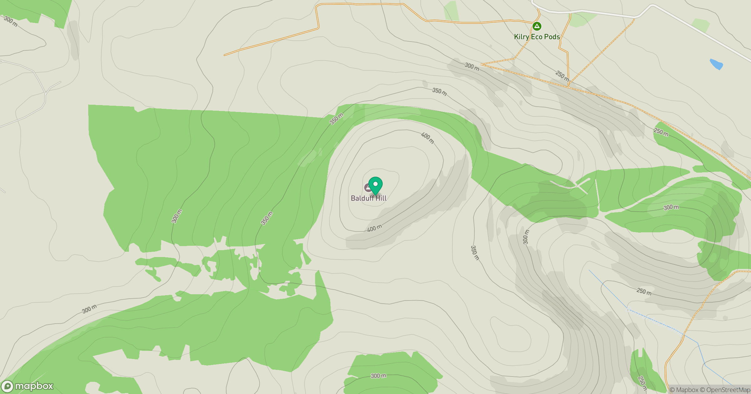
Grid reference: NO224536
View on OpenStreetMapOpens a map in a new tab, centred on the hill.
Hills within 30 km
Straight-line distance, not a walking route or confirmation of access.
No comments yet. Be the first.