
Inishtrahull
Good walks are even better shared.
Overview
Inishtrahull: A Hidden Gem
Overview
Located just off the northern coast of Ireland, Inishtrahull is an island that promises adventure wrapped in the embrace of nature. Though it doesn't boast towering peaks, its rugged beauty and historical charm make it a noteworthy destination. With volcanic rock and dramatic cliffs, it’s as much about exploration as it is about enjoying the serene surroundings.
Geology
Inishtrahull’s volcanic origins make it a fascinating spot for geology enthusiasts. The island has well-preserved formations and coastal features that highlight past eruptions, presenting a stark reminder of nature’s powerful forces. The sea caves are perfect for a little exploration, but mind the waves!
Routes
The main walking trail around the island spans approximately 6.5 km and takes around 2.5 hours to complete. It's a moderately challenging trek with rocky patches and grassy paths. Remember to keep your eyes peeled for local wildlife and enjoy the stunning views of the Atlantic.
Summit Features
While Inishtrahull may not possess a summit in the traditional sense, it has some remarkable vantage points. The old lighthouse stands as a sentinel over the ocean, while the remains of ancient settlements whisper stories of days gone by.
Terrain Type
Expect a combination of rocky outcrops and grassy areas. Good walking boots are recommended, as the terrain can be unpredictable in places.
Views
From the higher ground on the island, you can catch magnificent views of the surrounding ocean and rugged landscape of the Donegal coastline, particularly breathtaking during sunrise or sunset.
Hazards
Caution is warranted for visitors venturing onto Inishtrahull. Strong currents can be dangerous around the island's perimeter, and the terrain is uneven. Weather can change in a heartbeat, so be prepared for all eventualities.
Access
To find your way to this remote location, park at Malin Head and look for boat services to take you to Inishtrahull. Be mindful of the tide times to ensure your return journey is safe.
Facilities
Remember, there are no facilities on the island, so come prepared! Malin Head has everything you might need to refuel before or after your adventure.
History
Inishtrahull packs a punch when it comes to history. The name reflects its coastal nature, while the lighthouse remains a cultural beacon. Despite its remote location, it holds a special place in maritime history.
With all that Inishtrahull has to offer, it's a must-visit for any keen explorer. Just don’t forget your sense of adventure!
Explore routes near Inishtrahull
Walks starting near this hill. Open a route to check its map, distance and full itinerary.
Route planning notes
These notes describe possible approaches. Check a route's map and access information when planning your walk.
Inishtrahull Walking Trail
A scenic trail that loops the perimeter of the island, offering stunning ocean views and opportunities to spot local wildlife.
Make a day of it, together
Find someone to share the walk with, or organise a day out along a route you like.
Hill facts and local notes
Classifications
Elevation
49m
161 ft
Prominence
49m
Coordinates
55.4319, -7.2299
C488653
OS Map
3
At the Summit
Although not a summit in the traditional sense, Inishtrahull boasts several elevated viewpoints offering panoramic views. Notable features include a historic lighthouse and remnants of old dwellings.
Terrain & Geology
Inishtrahull is primarily composed of volcanic rock, with evidence of ancient lava flows visible around the coastline. The island showcases unique geological features, including sea caves and rugged cliffs that tell the story of millions of years of geological activity.
Views & Scenery
The rugged coastline of Donegal, the Atlantic Ocean, and the distant cliffs of Tory Island. On a clear day, you may catch a glimpse of the coast of Scotland.
History & Heritage
Name Origin
Inishtrahull derives from the Irish 'Inis Trá' which means 'island of the strand'.
Historical Significance
Historically, the island has had a small community, featured a lighthouse since 1865, and served as a navigational guide for mariners.
Getting There & Facilities
Parking
Mainland parking available in maleney at C488653, with boat services providing access to the island.
Public Transport
Limited public transport; best accessed by private vehicle or arranged boat transfer from the mainland.
Nearby Facilities
There are no facilities directly on Inishtrahull. Visitors should carry all necessary supplies, including food and water. The mainland offers cafes and restrooms.
Safety Information
Known Hazards
- Strong currents around the island, uneven terrain, and potential for swift weather changes. Use caution when exploring coastal paths.
General Safety Tips
- Check weather conditions before setting out
- Carry appropriate clothing and equipment
- Let someone know your planned route
- Take a map, compass, and GPS device
- Carry emergency supplies: food, water, first aid kit, torch
Hills
Some common questions about the hills answered
Are there group walks up Inishtrahull?
Many walkers use Walkmates to join or organise walks with others. You can check for group walks around Inishtrahull through the maps
Are there other walkers around Inishtrahull?
Activity varies by location and time, but Walkmates lets you see whether others have shared walks or shown interest in this area. Find other people through the walking friends search walking friends for Inishtrahull search or of course create your own walk for Inishtrahull
Can I organise a walk to Inishtrahull?
Yes. If there aren’t any walks listed already, you can create a walk and make it available for others to join.
If you're signed up to Walkmates, you can create a walk to Inishtrahull.
How do I find a walk up this hill?
There are often multiple ways to walk this hill, depending on experience and route preference. Walkmates helps you explore walks and routes that others have shared.
Can I suggest a new route up Inishtrahull?
Yes. You can suggest or create routes to share with others. Walkmates focuses on the social side of walking, so routes are used to help people organise walks and explore areas together, rather than as detailed navigation tools or route libraries.
Other uses really appreciate knowledgeable walkers sharing their routes. Share your favourite route to Inishtrahull here
The is an error or something incorrect about this hill. How do I let you know?
We always strive to keep the information on Walkmates as accurate as possible. If you find an error, please let us know through the contact form and we'll aim to correct it as quickly as possible
Community Discussion
Comments
Location
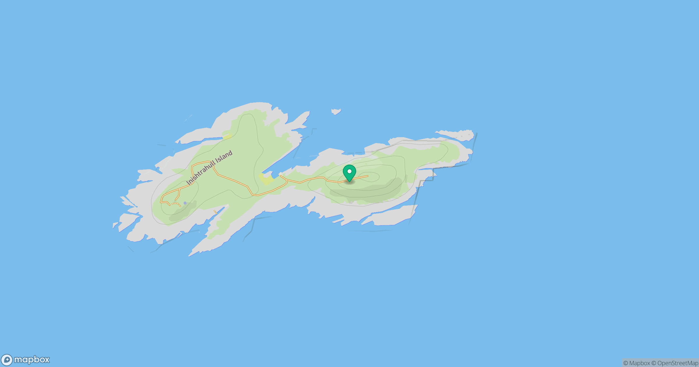
Grid reference: C488653
View on OpenStreetMapOpens a map in a new tab, centred on the hill.
Nearby Hills
Binevenagh
385m
Muckish [An Mhucais]
667m
Errigal [An Earagail]
747m
Beinn an Oir
785m
Cuilcagh [Binn Chuilceach]
666m
No comments yet. Be the first.