

Gouladane
Good walks are even better shared.
Overview
Gouladane: The Hidden Gem of the Scottish Highlands
Nestled in the heart of the Scottish Highlands, Gouladane stands at a respectable 740 meters, a Marilyn that commands respect without boasting. The mountain is a playground for the curious hiker and offers a blend of stunning scenery and intriguing geology.
Routes
Loch Gair Walk
This moderate trek begins at Loch Gair, a serene spot perfect for a pre-hike picnic. The path winds through lush greenery and offers a gentle incline, making it accessible for those who prefer a leisurely jaunt.
Gouladane Circuit
For the adventurous spirit, the Gouladane Circuit presents a challenging loop around the mountain’s base. This route provides ample opportunities for wildlife spotting—keep your eyes peeled for deer or the occasional elusive eagle!
Summit Features
Upon reaching the summit, you'll be greeted by a well-built cairn and a trig point, standing sentinel over the breathtaking landscapes below. It’s a perfect spot for that iconic summit selfie—just don’t accidentally knock the cairn down!
Terrain
Expect a rugged affair—Gouladane's terrain combines rocky outcrops with boggy patches. Bring sturdy boots, as your feet might not appreciate a surprise dip in a hidden puddle!
Views
Standing atop Gouladane, you are treated to panoramic views of Loch Awe and beyond. These vistas are breathtaking, especially during the spring and autumn when the scenery is painted in vibrant colours.
Hazards
As with any mountain, there are hazards to be mindful of. Loose rocks and sudden weather changes can turn a pleasant hike into a scramble, so stay on your toes!
Access
The nearest parking is conveniently located at Loch Gair car park, making it easy to kick off your adventure. Public transport options are available from the charming town of Oban, where bus services to Dalmally connect with local taxi services to the trailhead.
Facilities
Just a short drive away, Dalmally offers a handful of delightful cafés and public toilets—an essential stop for coffee lovers before hitting the trails.
History
Gouladane’s name means 'the slope of the field', a fitting moniker for its gentle slopes. Historically, it has inspired local lore and has been a part of the communities that surround it.
So lace up your boots, pack your sense of adventure, and experience the magic of Gouladane. Happy hiking!
Explore routes near Gouladane
Public walks starting within 80 km of this hill. Nearby does not mean a route reaches the summit; check its map and access before setting out.
No public routes are currently listed within 80 km of Gouladane on Walkmates. This does not mean there are no paths here. Explore the map and check local access information before planning a walk.
Route planning notes
These notes describe possible approaches, not verified navigable routes or permission to cross land. Check current paths, local access rules and conditions before setting out.
Loch Gair Walk
Starting from the picturesque Loch Gair, this route offers an easy approach with gradual ascents and stunning views.
Gouladane Circuit
This circular route takes you around the base, allowing for excellent views and wildlife spotting opportunities.
Make a day of it, together
Find someone to share the walk with, or organise a day out along a route you like.
Photo Gallery
View all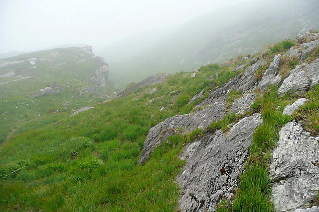 Photo could not load
V8742 : On Sheep's Head Way
Graham Horn
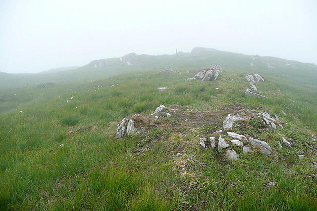 Photo could not load
V8642 : On Sheep's Head Way
Graham Horn
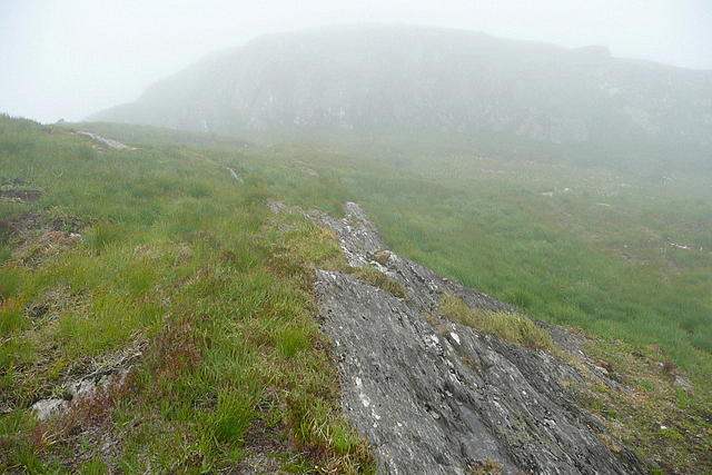 Photo could not load
V8642 : On Sheep's Head Way
Graham Horn
Hill facts and local notes
Classifications
Elevation
303m
994 ft
Prominence
107m
Coordinates
51.6206, -9.6352
V868421
OS Map
85 88
At the Summit
The summit features a grand cairn and a lonely trig point that, if it could talk, would have quite the story to tell about the weather it has witnessed.
Terrain & Geology
Gouladane is primarily composed of granite, which is a durable rock that can withstand the harsh Highland weather. The mountain's rugged outcrops showcase fascinating striations and unique formations that tell the tale of glacial activity.
Views & Scenery
From the summit, hikers can see the sprawling Loch Awe and the distant peaks of the Argyll range, creating a painterly tapestry of Highland scenery.
History & Heritage
Name Origin
The name Gouladane is derived from ancient Gaelic, roughly meaning 'the slope of the field', which is fitting for the mountain’s rolling topography.
Historical Significance
The mountain holds cultural significance for the local community, often being a backdrop for folklore and tales handed down through generations.
Getting There & Facilities
Check current local access restrictions, parking rules and transport timetables before travelling. These notes do not confirm public access to the summit.
Parking
Parking is available at the Loch Gair car park, which is well signposted from the main road (A85).
Public Transport
Regular buses run from Oban to Dalmally, with a short taxi ride to Loch Gair.
Nearby Facilities
The nearest facilities are in Dalmally, where you’ll find a few quaint cafés and public toilets. Always a good idea to refuel before the climb!
Safety Information
Known Hazards
- Loose rocks on the ascent, sudden changes in weather, and the possibility of encountering boggy patches.
General Safety Tips
- Check weather conditions before setting out
- Carry appropriate clothing and equipment
- Let someone know your planned route
- Take a map, compass, and GPS device
- Carry emergency supplies: food, water, first aid kit, torch
Hills
Some common questions about the hills answered
Are there group walks up Gouladane?
Many walkers use Walkmates to join or organise walks with others. You can check for group walks around Gouladane through the maps
Are there other walkers around Gouladane?
Activity varies by location and time, but Walkmates lets you see whether others have shared walks or shown interest in this area. Find other people through the walking friends search walking friends for Gouladane search or of course create your own walk for Gouladane
Can I organise a walk to Gouladane?
Yes. If there aren’t any walks listed already, you can create a walk and make it available for others to join.
If you're signed up to Walkmates, you can create a walk to Gouladane.
How do I find a walk up this hill?
There are often multiple ways to walk this hill, depending on experience and route preference. Walkmates helps you explore walks and routes that others have shared.
Can I suggest a new route up Gouladane?
Yes. You can suggest or create routes to share with others. Walkmates focuses on the social side of walking, so routes are used to help people organise walks and explore areas together, rather than as detailed navigation tools or route libraries.
Other uses really appreciate knowledgeable walkers sharing their routes. Share your favourite route to Gouladane here
The is an error or something incorrect about this hill. How do I let you know?
We always strive to keep the information on Walkmates as accurate as possible. If you find an error, please let us know through the contact form and we'll aim to correct it as quickly as possible
Community Discussion
Comments
Location
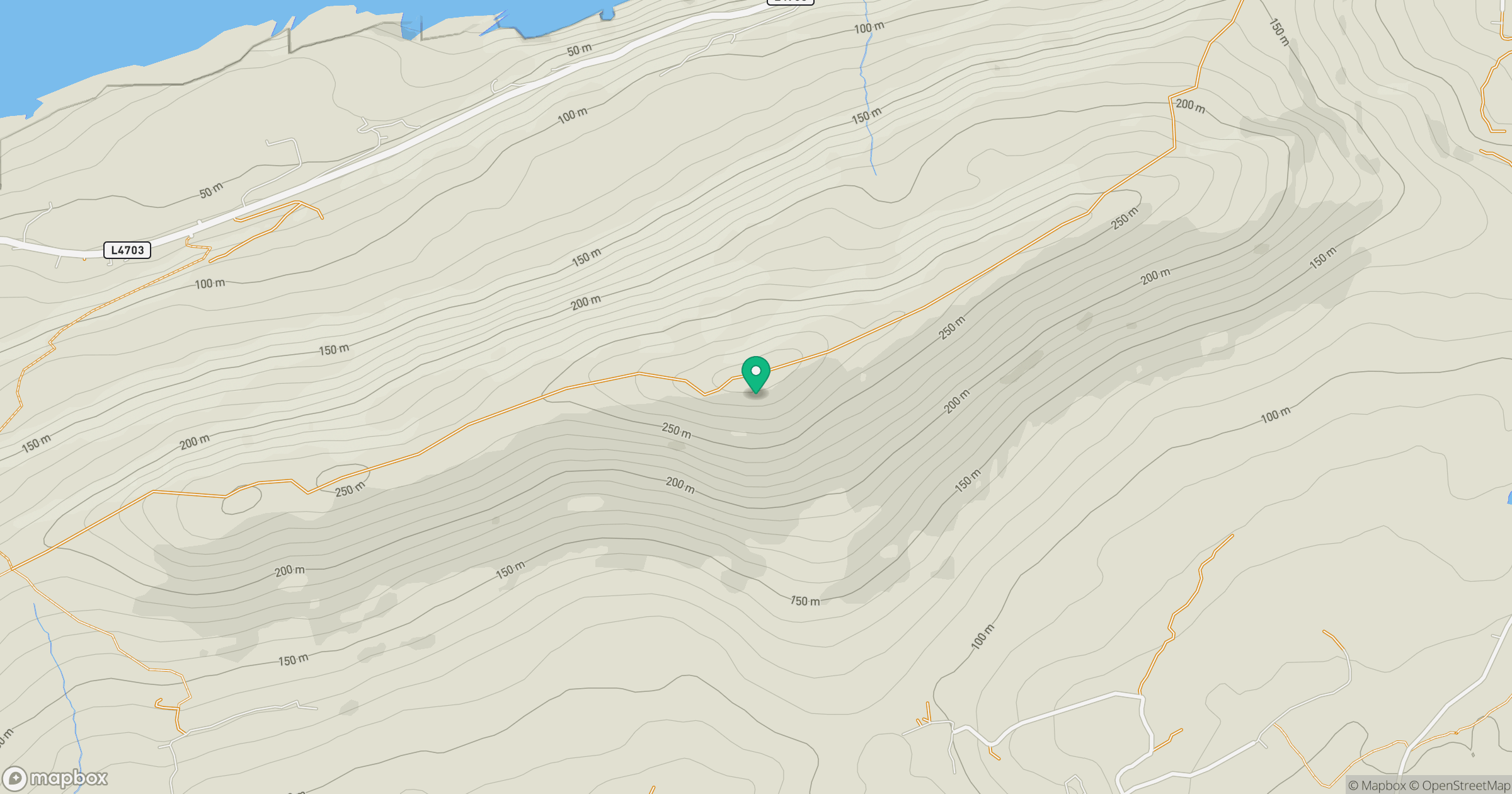
Grid reference: V868421
View on OpenStreetMapOpens a map in a new tab, centred on the hill.
Hills within 30 km
Straight-line distance, not a walking route or confirmation of access.
Knockaughna
268m
Seefin [Sui Finn]
345m
Sugarloaf Mountain [Gabhal Mhor]
574m
Mount Corrin
284m
Caher Mountain [Cathair]
338m
No comments yet. Be the first.