
Shrone Hill
Good walks are even better shared.
Overview
Shrone Hill
Nestled in the breathtaking Kerry Mountains, Shrone Hill rises prominently at 589 meters. It's not the highest peak around, but it more than holds its own with stunning views and a delightful trek.
Geology
Shrone Hill is formed from Old Red Sandstone, giving the terrain its unmissable reddish hue. The rocks tell tales of ancient riverbeds, providing a fascinating insight into the geologic history of the area.
Routes
One of the best ways to summit Shrone Hill is via the St. Finian's Bay Route. Spanning approximately 8.5 km with a moderate difficulty level, this loop takes around three hours and offers a perfect blend of mountain and coastal scenery. Remember to bring your camera; you won't want to miss the views!
Summit Features
Upon reaching the summit, hikers are greeted by a well-constructed stone cairn, a traditional feature in hill walking, which also serves as a perfect backdrop for that all-important selfie at the top.
Terrain Type
The trek involves a mix of rocky paths and gentle grassy slopes, complemented by some boggy patches, particularly after rainfall. Proper hiking boots are a must—nobody enjoys soggy socks on a mountain!
Views
When you finally reach the top, the view is worth every bit of the effort. You can gaze out towards the Skellig Islands and the majestic Macgillycuddy's Reeks. The sight of the sun setting over the Atlantic is not just eye candy; it's inspiration for the soul.
Best Seasons
Spring and early summer are prime time for this hike, when the heather blooms and the air is filled with the scent of fresh grass.
Hazards
While the hike is enjoyable, it’s not without its challenges. The terrain can be uneven, particularly after rain, and steep sections may test your footing. Always be cautious and take your time.
Nearby Summits
If you’re feeling adventurous after summiting Shrone Hill, consider tackling nearby peaks like Glenbeigh Mountain (703 m) and Carrantuohill, the highest mountain in Ireland at 1039 m.
Access
Nearest Parking: A handy little lay-by near St. Finian's Bay welcomes hikers, though it can fill up rapidly during peak times.
Public Transport: Bus services are sparse, so a taxi or your own wheels is the way to go.
Nearest Town: Cahersiveen is a short drive away, with local amenities to fill your backpack with snacks and gear.
Facilities
Though you won't find facilities on the hill, Cahersiveen has several cafes and shops for refreshments post-hike.
History
Name Meaning
The name 'Shrone' finds its roots in the Irish 'Sruaine', denoting a shallow place in a river.
Significance
This hill has guided many before you; from locals navigating the terrain to hikers chasing the next adventure, Shrone Hill is a beacon of exploration.
Hiking Shrone Hill is not just a walk; it's an experience woven with natural beauty and a dash of history. Just remember: the views at the top make the sweat worthwhile!
Explore routes near Shrone Hill
Public walks starting within 80 km of this hill. Nearby does not mean a route reaches the summit; check its map and access before setting out.
No public routes are currently listed within 80 km of Shrone Hill on Walkmates. This does not mean there are no paths here. Explore the map and check local access information before planning a walk.
Route planning notes
These notes describe possible approaches, not verified navigable routes or permission to cross land. Check current paths, local access rules and conditions before setting out.
St. Finian's Bay Route
A scenic loop starting from St. Finian's Bay, this route offers both stunning coastal views and the opportunity to summit Shrone Hill.
Make a day of it, together
Find someone to share the walk with, or organise a day out along a route you like.
Hill facts and local notes
Classifications
Elevation
283m
928 ft
Prominence
101m
Coordinates
51.7400, -9.5773
V911553
OS Map
85
At the Summit
The summit features a distinct stone cairn that serves as a tribute to fellow hikers who have braved the ascent. It's a popular spot for photographs, as the views are simply breathtaking.
Terrain & Geology
Shrone Hill is predominantly composed of Old Red Sandstone, which gives the surrounding landscape its characteristic reddish hue. The area showcases the rugged beauty typical of the Kerry Mountains, with fascinating sedimentary rock formations visible along the paths.
Views & Scenery
From the summit, you can see the spectacular coastline of Kerry, with the Skellig Islands standing proud in the distance. On a clear day, the peaks of the Macgillycuddy's Reeks are also visible, challenging you to visit them next!
History & Heritage
Name Origin
The name 'Shrone' is derived from the Irish 'Sruaine', meaning 'a ford or shallow place in a river'. Practical, isn't it?
Historical Significance
Shrone Hill has been an important landmark for both locals and travelers for centuries, guiding folk across the rugged Kerry landscape.
Getting There & Facilities
Check current local access restrictions, parking rules and transport timetables before travelling. These notes do not confirm public access to the summit.
Parking
Parking is available at the small lay-by near St. Finian's Bay, which can accommodate several cars. Arrive early to secure a spot, especially at weekends!
Public Transport
Public transport options are limited; the nearest bus service is from Cahersiveen, which is approximately 10 km away. Taxis are available in the area.
Nearby Facilities
There are no facilities directly at the foot of Shrone Hill, but Cahersiveen has cafes, public toilets, and small shops for pre-hike supplies.
Safety Information
Known Hazards
- Uneven terrain can lead to slips and falls, especially in wet conditions. There are some steep sections on the ascent.
General Safety Tips
- Check weather conditions before setting out
- Carry appropriate clothing and equipment
- Let someone know your planned route
- Take a map, compass, and GPS device
- Carry emergency supplies: food, water, first aid kit, torch
Hills
Some common questions about the hills answered
Are there group walks up Shrone Hill?
Many walkers use Walkmates to join or organise walks with others. You can check for group walks around Shrone Hill through the maps
Are there other walkers around Shrone Hill?
Activity varies by location and time, but Walkmates lets you see whether others have shared walks or shown interest in this area. Find other people through the walking friends search walking friends for Shrone Hill search or of course create your own walk for Shrone Hill
Can I organise a walk to Shrone Hill?
Yes. If there aren’t any walks listed already, you can create a walk and make it available for others to join.
If you're signed up to Walkmates, you can create a walk to Shrone Hill.
How do I find a walk up this hill?
There are often multiple ways to walk this hill, depending on experience and route preference. Walkmates helps you explore walks and routes that others have shared.
Can I suggest a new route up Shrone Hill?
Yes. You can suggest or create routes to share with others. Walkmates focuses on the social side of walking, so routes are used to help people organise walks and explore areas together, rather than as detailed navigation tools or route libraries.
Other uses really appreciate knowledgeable walkers sharing their routes. Share your favourite route to Shrone Hill here
The is an error or something incorrect about this hill. How do I let you know?
We always strive to keep the information on Walkmates as accurate as possible. If you find an error, please let us know through the contact form and we'll aim to correct it as quickly as possible
Community Discussion
Comments
Location
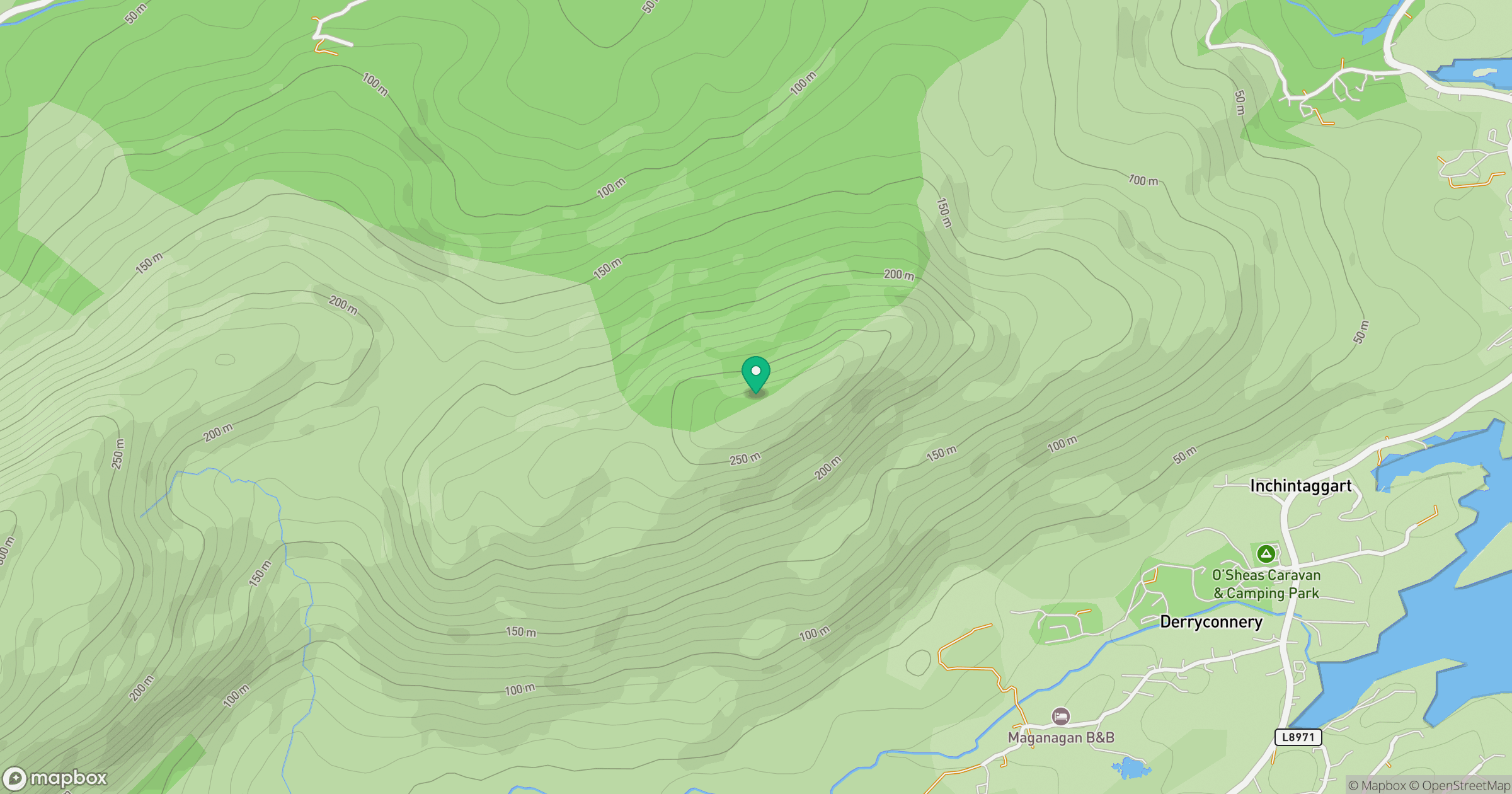
Grid reference: V911553
View on OpenStreetMapOpens a map in a new tab, centred on the hill.
Hills within 30 km
Straight-line distance, not a walking route or confirmation of access.
Torc Mountain
535m
Sugarloaf Mountain [Gabhal Mhor]
574m
Knocknagorraveela [Cnoc na gCorrmhiolta]
507m
Knockeirka [Cnoc Adhairce]
426m
Killaha Mountain [Sliabh Choill Atha]
405m
No comments yet. Be the first.