

Gibson Knott
Good walks are even better shared.
NY3110 : On the Gibson Knott ridge
Karl and Ali Photo source
Overview
Gibson Knott
Introduction
Gibson Knott, a modest yet beautiful peak, is nestled in the heart of the Lake District. Standing at 1463 meters, it's not the highest mountain in the region, but it offers hikers a delightful experience and stunning vistas.
Geography and Geology
Located near Grasmere, Gibson Knott's geological formations are primarily Skiddaw Slate. This robust slate makes for an interesting exploration of the area’s ancient oceans and environments from millions of years past. As you navigate the rocky paths, take a moment to appreciate the ancient history beneath your feet!
Routes
One of the most popular routes to Gibson Knott starts at Grasmere and takes about 3.5 hours for the 10.5 km journey. The climb is moderate, suitable for most hikers, and the way is riddled with charming views. Just be careful—no one needs a tumble on the wonderfully breathtaking yet steep terrain!
Summit Features
Reaching the summit, you’ll discover a small cairn alongside a wooden post—your mark of success! It’s a perfect spot to take a breather, snack, and soak in those glorious views.
Terrain
The terrain consists of a mix of rocky trails, grassy knolls, and a few boggy spots to test your hiking skills (and footwear). Sturdy boots are recommended, as the Lake District is notorious for its unpredictable weather and muddy paths.
Views
The summit treats you to breathtaking views of Helvellyn, Fairfield, and, on especially clear days, the shimmering waters of Windermere. Photographers, don't forget your camera!
Safety and Hazards
Keep in mind that steep drop-offs are common, and paths can be slippery, especially after rain. Watch for changing weather, and remember: it's always a good idea to pack a light jacket in the unpredictable Lake District.
Access
Parking at the Pavilion in Grasmere is available with a modest fee—grab a scone while you’re at it! Regular buses provide easy access from nearby towns, making it simple to visit without a vehicle.
Facilities
After your hike, you can reward yourself with a slice (or two) of delicious cake from one of Grasmere's inviting cafés. Public restrooms at the Pavilion ensure comfort before or after your exertions.
Conclusion
Gibson Knott is a delightful destination for both seasoned hikers and those looking to appreciate the natural beauty of the Lake District. It’s a place where every step tells a story. Just remember, the journey might be ups and downs, but the reward is worth every puff!
Happy hiking!
Explore routes near Gibson Knott
Walks starting near this hill. Open a route to check its map, distance and full itinerary.
Bow Fell from Langdale
View route
Great Carrs Halifax Wreckage from Wrynose Pass
View route
Scafell Pike from Seathwaite via the Corridor Route
View route
Helvellyn via Striding Edge
View route
Route planning notes
These notes describe possible approaches. Check a route's map and access information when planning your walk.
Gibson Knott from Grasmere
A scenic circular route starting from the village of Grasmere, which takes you through picturesque woodlands and offers stunning views of the surrounding hills.
Make a day of it, together
Find someone to share the walk with, or organise a day out along a route you like.
Photo Gallery
View all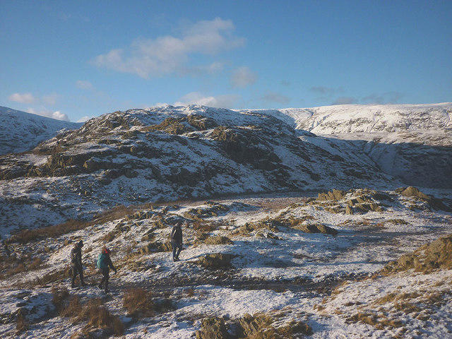 Photo could not load
NY3110 : On the Gibson Knott ridge
Karl and Ali
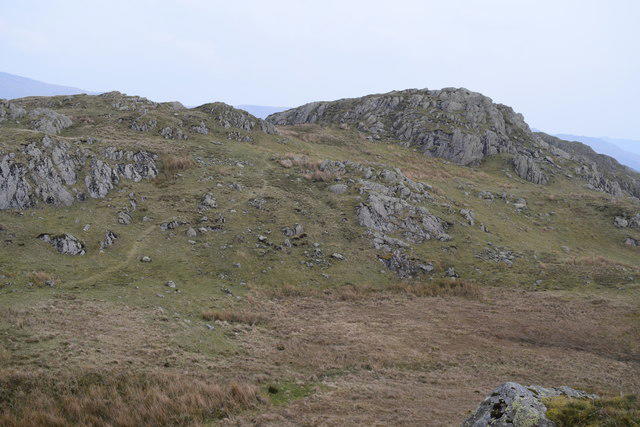 Photo could not load
NY3110 : On Gibson Knott
Trevor Harris
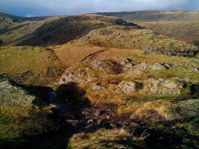 Photo could not load
NY3110 : Looking north west from summit of Gibson Knott
Graham Robson
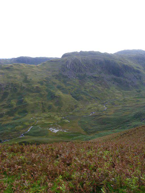 Photo could not load
NY3110 : Near Moment Brow
Michael Graham
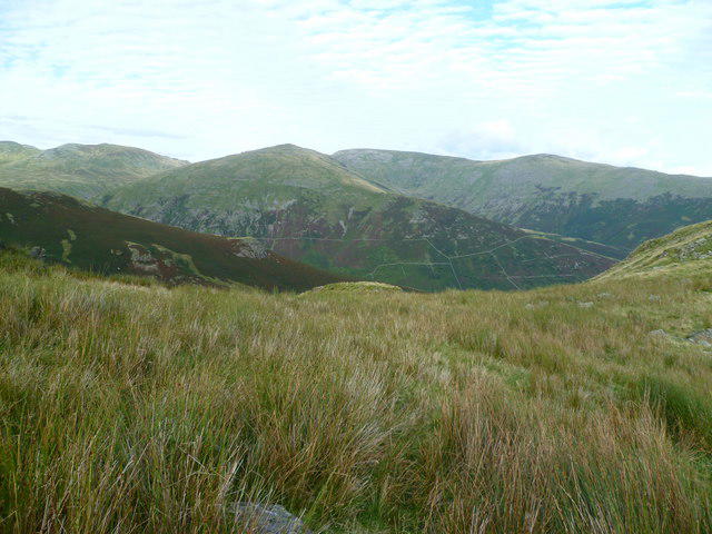 Photo could not load
NY3110 : South of Moment Crag
Michael Graham
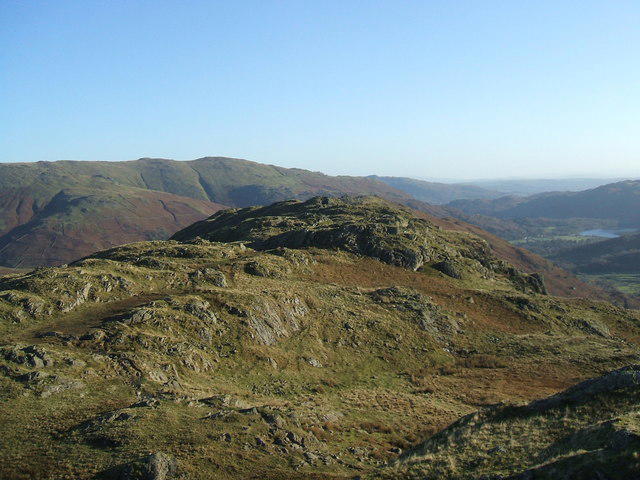 Photo could not load
NY3110 : Gibson Knott
David Brown
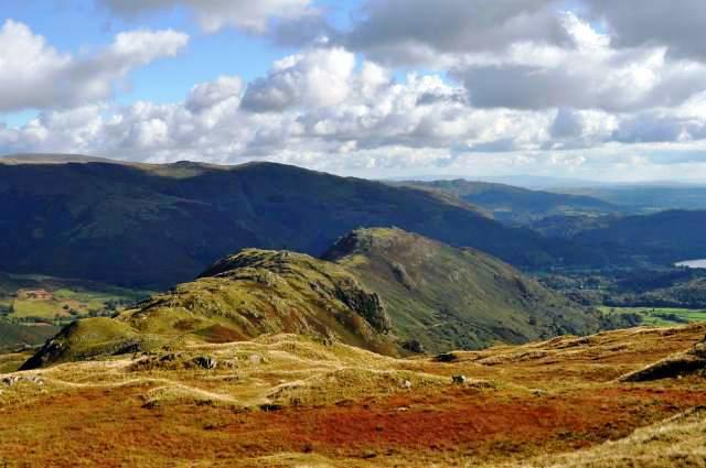 Photo could not load
NY3110 : Gibson Knott and Helm Crag
Robert Struthers
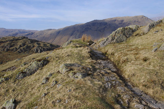 Photo could not load
NY3110 : On Gibson Knott
Ian Taylor
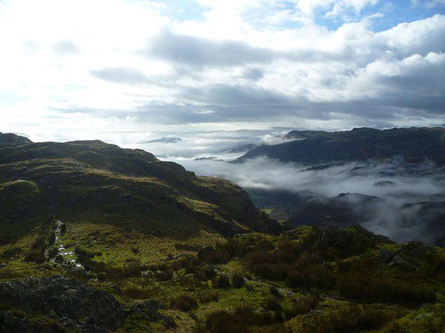 Photo could not load
NY3110 : On Gibson Knott
Michael Graham
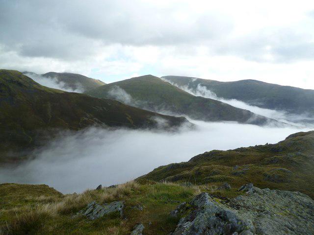
NY3110 : On Gibson Knott
Michael Graham
Hill facts and local notes
Classifications
Elevation
420m
1,378 ft
Prominence
9m
Coordinates
54.4811, -3.0558
NY316100
OS Map
90
Explorer: OL5S OL7N
At the Summit
The summit features a small stone cairn topped with a wooden post for navigational purposes, providing a sense of accomplishment to those who reach its peak.
Terrain & Geology
The summit of Gibson Knott is predominantly composed of Skiddaw Slate, which dates back to the Ordovician period. This geological formation contributes to the distinctive ruggedness and clarity of the landscape in the area.
Views & Scenery
From the summit, you can see several notable landmarks such as Helvellyn, the Fairfield massif, and even the distant shores of Windermere on a clear day.
History & Heritage
Name Origin
The name 'Gibson' is thought to derive from a Norse or Viking origin, while 'Knott' relates to a small hill or mound, giving a local flavour to its meaning as Gibson's small hill.
Historical Significance
Gibson Knott is part of the famous Wainwright collection of hills and has great significance to walkers and hikers who seek the charm of the Lake District.
Getting There & Facilities
Parking
There is parking available at the Pavilion in Grasmere, with a modest charge. This makes it easy to start your journey with a cup of tea or two from the nearby café.
Public Transport
Regular buses run to Grasmere from Ambleside and Keswick, making it accessible without a car.
Nearby Facilities
Nearby facilities include several quaint cafés in Grasmere that serve delightful homemade cakes, as well as public toilets at the Pavilion.
Safety Information
Known Hazards
- Steep drop-offs in certain areas, slippery paths after rain, and the potential for sudden weather changes in the Lake District.
General Safety Tips
- Check weather conditions before setting out
- Carry appropriate clothing and equipment
- Let someone know your planned route
- Take a map, compass, and GPS device
- Carry emergency supplies: food, water, first aid kit, torch
Hills
Some common questions about the hills answered
Are there group walks up Gibson Knott?
Many walkers use Walkmates to join or organise walks with others. You can check for group walks around Gibson Knott through the maps
Are there other walkers around Gibson Knott?
Activity varies by location and time, but Walkmates lets you see whether others have shared walks or shown interest in this area. Find other people through the walking friends search walking friends for Gibson Knott search or of course create your own walk for Gibson Knott
Can I organise a walk to Gibson Knott?
Yes. If there aren’t any walks listed already, you can create a walk and make it available for others to join.
If you're signed up to Walkmates, you can create a walk to Gibson Knott.
How do I find a walk up this hill?
There are often multiple ways to walk this hill, depending on experience and route preference. Walkmates helps you explore walks and routes that others have shared.
Can I suggest a new route up Gibson Knott?
Yes. You can suggest or create routes to share with others. Walkmates focuses on the social side of walking, so routes are used to help people organise walks and explore areas together, rather than as detailed navigation tools or route libraries.
Other uses really appreciate knowledgeable walkers sharing their routes. Share your favourite route to Gibson Knott here
The is an error or something incorrect about this hill. How do I let you know?
We always strive to keep the information on Walkmates as accurate as possible. If you find an error, please let us know through the contact form and we'll aim to correct it as quickly as possible
Community Discussion
Comments
Location
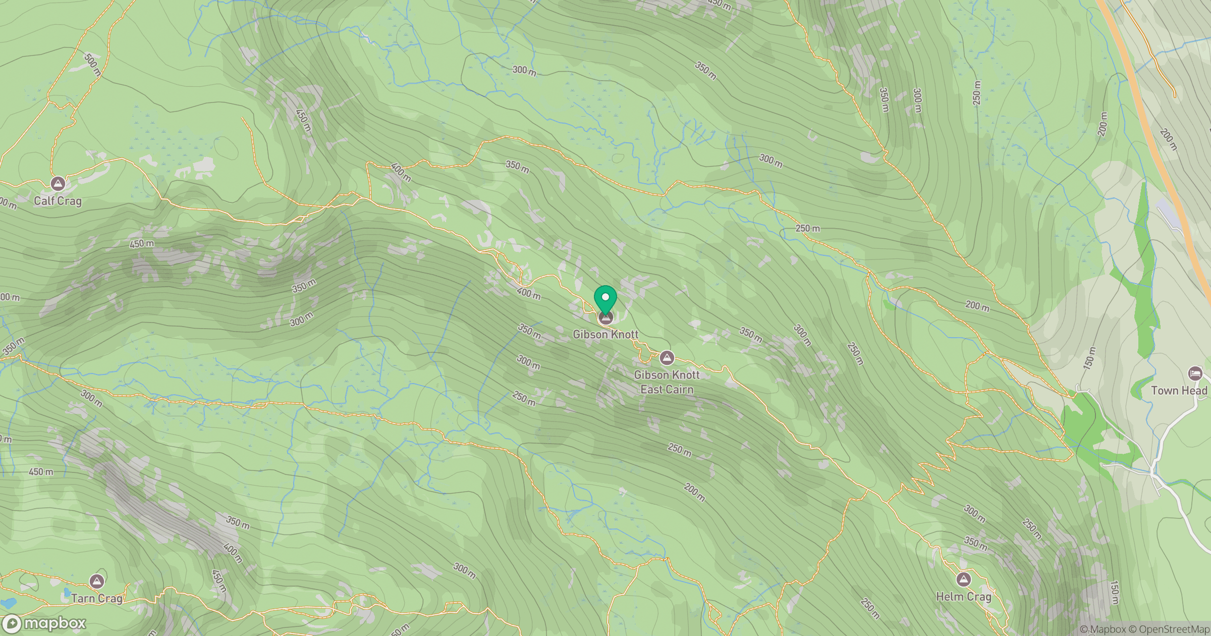
Grid reference: NY316100
View on OpenStreetMapOpens a map in a new tab, centred on the hill.

No comments yet. Be the first.