
Doolieve
Good walks are even better shared.
Overview
Doolieve: A Hidden Gem in the Brecon Beacons
Nestled within the heart of the Brecon Beacons, Doolieve often flies under the radar compared to its grander siblings like Pen y Fan, but don’t let that fool you. This mountain offers splendid opportunities for both novice and seasoned hikers alike.
Geography and Geology
Standing proud at 619 meters, Doolieve's rugged terrain is primarily formed from Old Red Sandstone. It’s a geological treat, showcasing robust cliff faces and gentle grasslands, making it an interesting site for geology enthusiasts.
Routes to the Summit
The Cwm Doolieve Route is the star of the show, taking you through picturesque valleys before tackling the rocky ascent to the top. The total distance is approximately 5.2 km and should take you around 2.5 hours. It’s moderately challenging, so pack a snack; your tummy will appreciate it!
Summit Features
At the summit, you'll find a charming stone cairn that’s more than just a pile of rocks; it’s a mark of achievement and a great spot for a celebratory selfie!
Terrain Types
Expect a lovely mix of grassy patches and rocky outcrops. Just enough to keep your feet guessing without giving your ankles a workout.
Stunning Views
The views from Doolieve are beautiful — clear days unveil sweeping landscapes and azure skies, with the majestic Pen y Fan lurking in the background like a proud elder sibling. Spring and autumn should be your go-to seasons for jaw-dropping sights.
Potential Hazards
As with most English mountains, rain can turn the pathways into slippery slides. Keep your wits about you, especially in changing weather; after all, it’s not a race, and no one’s doubting your mountain prowess!
Nearby Attractions
Make sure to check out nearby summits, including Fan y Big and Pen y Fan, which both offer further picturesque trails and are well-loved by walkers.
Access and Facilities
The Cwm Doolieve car park is your starting point, and be sure to arrive early, particularly on weekends. In addition, Talybont-on-Usk, the nearest village, is about a 10-minute drive away and boasts delightful cafes and shops for post-hike refreshments.
History and Culture
The name 'Doolieve' itself carries historical weight, rooted in ancient Welsh language. Its cultural significance continues as a beloved route within the UK's hiking community.
Conclusion
So, grab your boots, pack your bag and prepare for a delightful day on Doolieve. Whether you're seeking solitude or planning a fun hike with family, this mountain is a brilliant choice in the wonderful Brecon Beacons.
Happy hiking!
Explore routes near Doolieve
Public walks starting within 80 km of this hill. Nearby does not mean a route reaches the summit; check its map and access before setting out.
No public routes are currently listed within 80 km of Doolieve on Walkmates. This does not mean there are no paths here. Explore the map and check local access information before planning a walk.
Route planning notes
These notes describe possible approaches, not verified navigable routes or permission to cross land. Check current paths, local access rules and conditions before setting out.
Cwm Doolieve Route
Starting from the car park at Cwm Doolieve, this route meanders through lush valleys before ascending to the summit, providing panoramic views.
Make a day of it, together
Find someone to share the walk with, or organise a day out along a route you like.
Hill facts and local notes
Classifications
Elevation
182m
599 ft
Prominence
137m
Coordinates
51.7897, -8.4585
W684597
OS Map
87
At the Summit
The summit is marked by a modest stone cairn, serving as a reminder that sometimes the simplest things carry significant weight.
Terrain & Geology
Doolieve is primarily composed of Old Red Sandstone, a rock type that is quite the cracker during hikes, offering a delightful mix of crags and subtle formations.
Views & Scenery
From the summit, admire the rolling hills of the Brecon Beacons and on a clear day, catch a glimpse of Pen y Fan in the distance.
History & Heritage
Name Origin
The name 'Doolieve' is thought to derive from the old Welsh term, possibly indicating a valley or nook.
Historical Significance
Culturally, it's a celebrated part of local hiking trails and contributes to the rich tapestry of the Brecon Beacons National Park.
Getting There & Facilities
Check current local access restrictions, parking rules and transport timetables before travelling. These notes do not confirm public access to the summit.
Parking
Cwm Doolieve car park, with spaces available for around 15 cars. Arrive early during peak seasons to secure a spot.
Public Transport
Bus services operate from Abergavenny, though service frequency may vary — check the schedules before you hop on.
Nearby Facilities
Talybont-on-Usk offers essential facilities including a pub, a shop, and public toilets for your convenience.
Safety Information
Known Hazards
- Rocky sections may be slippery when wet, and weather conditions can change faster than a chameleon on a rainbow.
General Safety Tips
- Check weather conditions before setting out
- Carry appropriate clothing and equipment
- Let someone know your planned route
- Take a map, compass, and GPS device
- Carry emergency supplies: food, water, first aid kit, torch
Hills
Some common questions about the hills answered
Are there group walks up Doolieve?
Many walkers use Walkmates to join or organise walks with others. You can check for group walks around Doolieve through the maps
Are there other walkers around Doolieve?
Activity varies by location and time, but Walkmates lets you see whether others have shared walks or shown interest in this area. Find other people through the walking friends search walking friends for Doolieve search or of course create your own walk for Doolieve
Can I organise a walk to Doolieve?
Yes. If there aren’t any walks listed already, you can create a walk and make it available for others to join.
If you're signed up to Walkmates, you can create a walk to Doolieve.
How do I find a walk up this hill?
There are often multiple ways to walk this hill, depending on experience and route preference. Walkmates helps you explore walks and routes that others have shared.
Can I suggest a new route up Doolieve?
Yes. You can suggest or create routes to share with others. Walkmates focuses on the social side of walking, so routes are used to help people organise walks and explore areas together, rather than as detailed navigation tools or route libraries.
Other uses really appreciate knowledgeable walkers sharing their routes. Share your favourite route to Doolieve here
The is an error or something incorrect about this hill. How do I let you know?
We always strive to keep the information on Walkmates as accurate as possible. If you find an error, please let us know through the contact form and we'll aim to correct it as quickly as possible
Community Discussion
Comments
Location
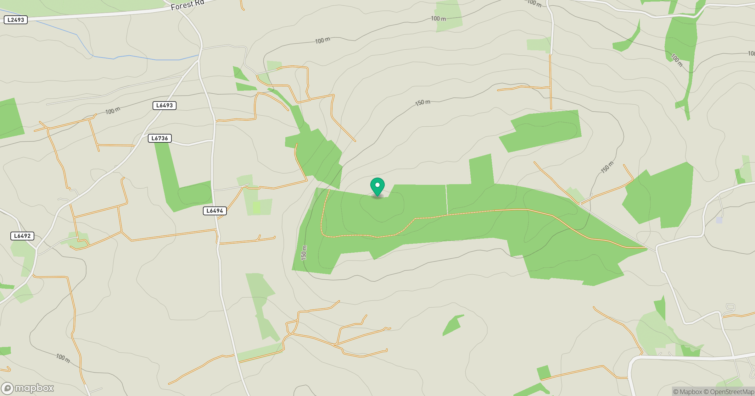
Grid reference: W684597
View on OpenStreetMapOpens a map in a new tab, centred on the hill.
Hills within 30 km
Straight-line distance, not a walking route or confirmation of access.
No comments yet. Be the first.