

Danebury Hill
Good walks are even better shared.
SU3237 : Danebury Ring - Fungus
Chris Talbot Photo source
Overview
Danebury Hill
Danebury Hill is not just a hike; it's a step back in time! Standing at an elevation of 173 meters, this lovely hill in the South Downs is a delightful combination of natural beauty and historical intrigue.
Geology
The hill mostly comprises chalk, which makes it steeped in a unique ecosystem. The chalk landscape supports a variety of wildlife and is a beautiful example of the terrain that characterises much of the South Downs. If you see a rabbit darting by, it’s probably not your imagination!
Route Information
The Danebury Hill Circular Walk is a must for any visitor. Stretching approximately 5 km, this route is moderate in difficulty and allows hikers to soak in the breathtaking vistas all while absorbing the rich flora and fauna of the area. It typically takes around 1.5 hours to complete, giving you just enough time to appreciate the sights without feeling rushed.
Summit Features
At the summit, you’ll find not only a trig point but also the impressive remains of an ancient hillfort. These old earthworks whisper stories of the Iron Age, inviting you to imagine what life might have been like for those who once inhabited this land. Don't forget to snap a picture! (Just not while you’re still at the edge.)
Terrain and Views
The terrain is mainly grassy with some rocky outcrops, providing an enjoyable walking experience. On a clear day, you can feast your eyes on expansive views all the way to the Isle of Wight, not to mention the beautiful rolling hills of the South Downs. Spring and autumn are the ideal times to visit, with nature’s palette on full display.
Hazards
As with any outdoor adventure, there are a few hazards to keep in mind. Watch for slippery patches, particularly when it has rained, and respect any livestock grazing in the area – they have as much right to this land as we do!
Access
Getting there is straightforward. You can park at Danebury Hill car park, located off the A272, with access to the paths leading up to the summit. For public transport enthusiasts, the nearest train station is Andover, and it’s a scenic bus ride away from the hill. Stockbridge is the nearest village, packed with charming cafes and shops.
If you’re in search of a short, rewarding walk with a touch of history, Danebury Hill is the place to be. Whether you're an avid hiker or just someone who enjoys a stroll in nature, this hill is sure to tickle your fancy!
Last Updated
2023-10-01
Explore routes near Danebury Hill
Walks starting near this hill. Open a route to check its map, distance and full itinerary.
Hinton Ampner: Dutton Estate Woodland and Downland Circuit
View route
Newbury to Donnington Castle: Lambourn Valley Way via Speen and Bagnor
View route
Thatcham short birding stroll
View route
Thatcham short birding stroll
View route
Route planning notes
These notes describe possible approaches. Check a route's map and access information when planning your walk.
Danebury Hill Circular Walk
A delightful circular walk that takes you around the picturesque surroundings of Danebury Hill, offering stunning views and an insight into the local fauna and flora.
Make a day of it, together
Find someone to share the walk with, or organise a day out along a route you like.
Photo Gallery
View all Photo could not load
SU3237 : Danebury Ring - Fungus
Chris Talbot
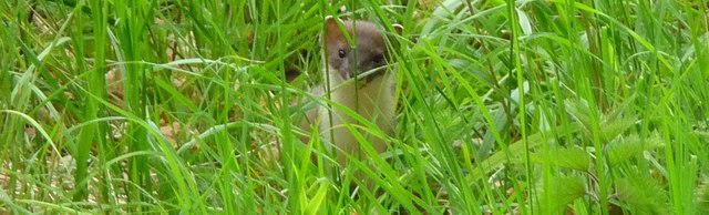 Photo could not load
SU3237 : Nether Wallop - Stoat
Chris Talbot
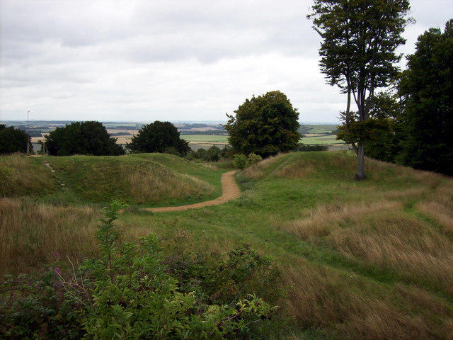 Photo could not load
SU3237 : Danebury Ring - Raised Inner Walkway
Chris Talbot
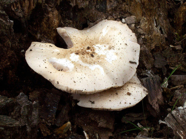 Photo could not load
SU3237 : Danebury Ring - Fungi
Chris Talbot
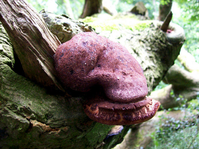 Photo could not load
SU3237 : Danebury Ring - Fungi
Chris Talbot
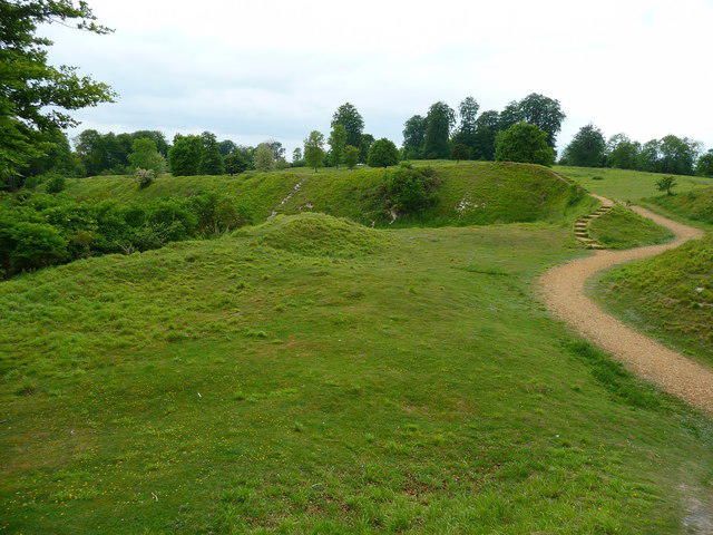 Photo could not load
SU3237 : Nether Wallop - Danebury Ring
Chris Talbot
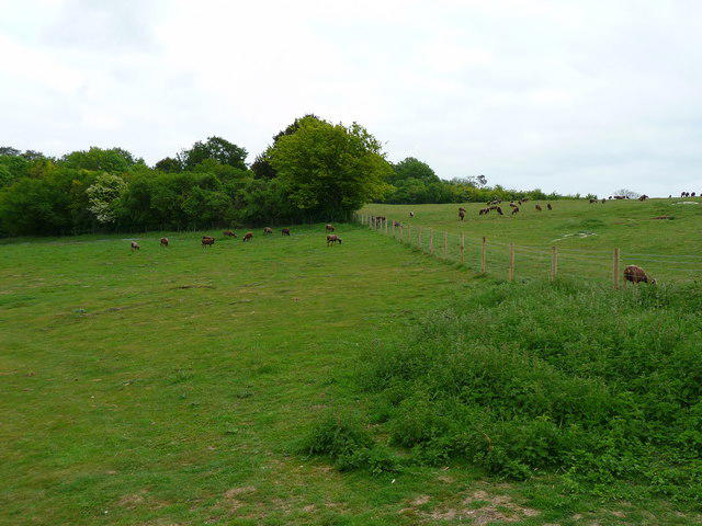 Photo could not load
SU3237 : Nether Wallop - Danebury Ring
Chris Talbot
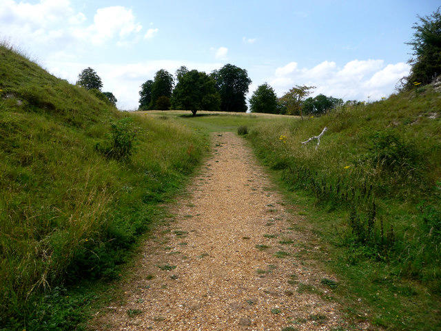 Photo could not load
SU3237 : Into the interior of Danebury Hillfort
Chris Gunns
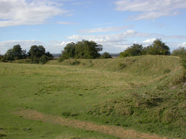 Photo could not load
SU3237 : Danebury Hill, inner ring
Mike Faherty
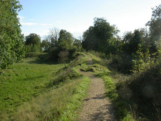
SU3237 : Danebury Hill, path
Mike Faherty
Hill facts and local notes
Classifications
Elevation
143m
469 ft
Prominence
60m
Coordinates
51.1374, -1.5397
SU323376
OS Map
185
Explorer: 131S
At the Summit
The summit features a prominent hillfort with impressive earthworks and a trig point at the highest point, perfect for those Instagram shots (just don’t forget to actually enjoy the view too).
Terrain & Geology
Danebury Hill is primarily composed of chalk, which is a soft, white, porous sedimentary rock that contributes to the unique landscape of the South Downs. The hill is also a remnant of an ancient hillfort, with earthworks that tell tales of prehistoric peoples.
Views & Scenery
From the summit, you can spot the stunning rolling hills of the South Downs and, on a clear day, the distant Isle of Wight. The view reaches out to the horizon, making it a spot for great sunsets.
History & Heritage
Name Origin
The name 'Danebury' is believed to derive from the Old English 'Dene' meaning valley, and 'Burh' meaning fortification, implying a fortified site in the valley.
Historical Significance
This site has historical significance as it is believed to have been an important defensive site during the Iron Age and is now a scheduled ancient monument.
Getting There & Facilities
Parking
There is parking available at the Danebury Hill car park, located just off the A272 road, with a small fee applicable.
Public Transport
The nearest train station is in Andover, from there you can catch a local bus or enjoy a scenic walk to the hill.
Nearby Facilities
There are no facilities directly on the hill, but Stockbridge and Andover offer various cafes, restaurants, and public toilets.
Safety Information
Known Hazards
- Watch out for slippery mud during the rainy season, especially on the trails leading off the top. Also, some areas can have livestock grazing.
General Safety Tips
- Check weather conditions before setting out
- Carry appropriate clothing and equipment
- Let someone know your planned route
- Take a map, compass, and GPS device
- Carry emergency supplies: food, water, first aid kit, torch
Hills
Some common questions about the hills answered
Are there group walks up Danebury Hill?
Many walkers use Walkmates to join or organise walks with others. You can check for group walks around Danebury Hill through the maps
Are there other walkers around Danebury Hill?
Activity varies by location and time, but Walkmates lets you see whether others have shared walks or shown interest in this area. Find other people through the walking friends search walking friends for Danebury Hill search or of course create your own walk for Danebury Hill
Can I organise a walk to Danebury Hill?
Yes. If there aren’t any walks listed already, you can create a walk and make it available for others to join.
If you're signed up to Walkmates, you can create a walk to Danebury Hill.
How do I find a walk up this hill?
There are often multiple ways to walk this hill, depending on experience and route preference. Walkmates helps you explore walks and routes that others have shared.
Can I suggest a new route up Danebury Hill?
Yes. You can suggest or create routes to share with others. Walkmates focuses on the social side of walking, so routes are used to help people organise walks and explore areas together, rather than as detailed navigation tools or route libraries.
Other uses really appreciate knowledgeable walkers sharing their routes. Share your favourite route to Danebury Hill here
The is an error or something incorrect about this hill. How do I let you know?
We always strive to keep the information on Walkmates as accurate as possible. If you find an error, please let us know through the contact form and we'll aim to correct it as quickly as possible
Community Discussion
Comments
Location
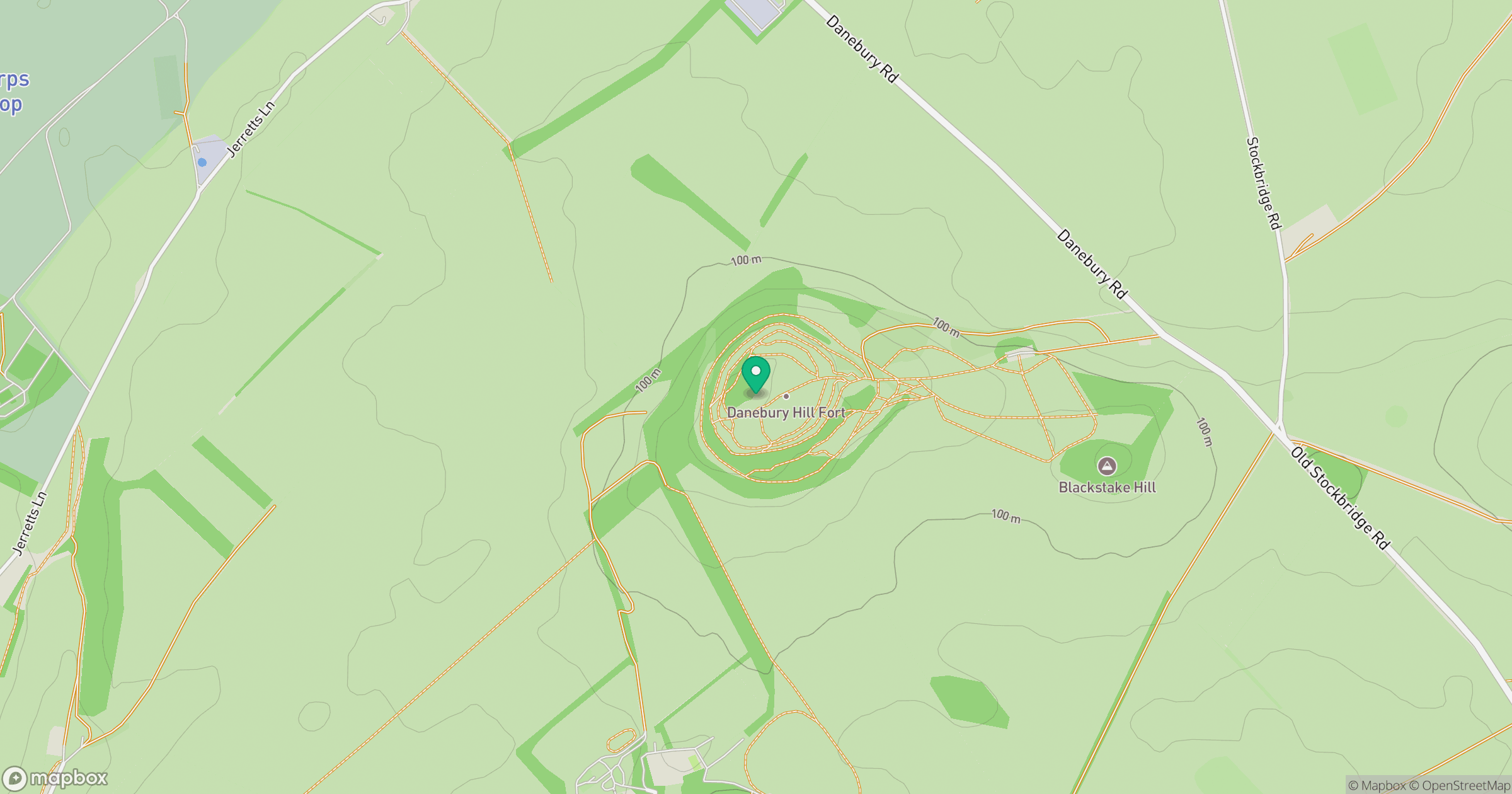
Grid reference: SU323376
View on OpenStreetMapOpens a map in a new tab, centred on the hill.
Nearby Hills
Glastonbury Tor
158m
Leith Hill
294m
Worcestershire Beacon
425m
Ditchling Beacon
248m
Titterstone Clee Hill
533m
No comments yet. Be the first.