
Cloontohil
Good walks are even better shared.
Overview
Cloontohil: A Hiker’s Guide
Cloontohil, standing proudly at 261 meters, may not be the tallest mountain around, but it sure packs a punch with its scenic views and intriguing geology! Located in the beautiful Connacht region, it's a beloved spot for hikers who fancy a moderate trek.
Geology
Made predominantly of quartzite, Cloontohil's rocky face tells a story of geological transformation over the ages. The resilience of this mountain is something to admire—kind of like that one relative who never backs down from an argument!
Routes
The Gleniff Route is the most popular path leading to the summit. Spanning about 6 km, it's not just a walk in the park; it’s a delightful journey full of twists, turns, and gorgeous views that will make your Instagram followers green with envy. Prepare for approximately 2.5 hours of hiking bliss.
Summit Features
At the top, you will find a robust cairn standing tall, perfect for taking a selfie that shouts, 'I made it!' The summit area is spacious, allowing for some well-deserved rest after the trek.
Terrain Type
The terrain is mixed, ranging from soft grassy slopes to rocky sections that could challenge those who skip leg day. You might encounter a bit of bog, too—consider it nature's surprise obstacle course!
Views
Oh, the views from Cloontohil! On a clear day, you can relish in the sight of Lough Corrib and the majestic Twelve Bens. Bring your camera—trust us, your friends will want to see.
Hazards
As always, respect the mountain! Weather conditions can shift like a mischievous cat. Stay alert and prepare for some slippery patches, especially in the boggier areas.
Access
You'll find parking in Gleniff Valley, right off the R272. And if public transport is more your style, check the limited bus services from Westport. Just don’t forget to bring back your ’thank you’ card to the driver—they have a tough job!
Facilities
While there are no amenities on the mountain, you can find comforts in Westport, including cafes and public toilets to recharge before or after your adventure.
History
Cloontohil’s name hints at a rich past, with 'Cluain Tuathail' reflecting the lush meadows that existed here. It's a mountain wrapped in local folklore—perfect for the dreamers among us.
So, lace up your boots and set off for Cloontohil! Whether you're in it for the views, the history, or just a good stretch of the legs, this mountain will welcome you with open arms.
Explore routes near Cloontohil
Public walks starting within 80 km of this hill. Nearby does not mean a route reaches the summit; check its map and access before setting out.
No public routes are currently listed within 80 km of Cloontohil on Walkmates. This does not mean there are no paths here. Explore the map and check local access information before planning a walk.
Route planning notes
These notes describe possible approaches, not verified navigable routes or permission to cross land. Check current paths, local access rules and conditions before setting out.
Gleniff Route
This popular route begins in the Gleniff Valley, winding its way up through scenic landscapes to the summit. It's a straightforward path with stunning views.
Make a day of it, together
Find someone to share the walk with, or organise a day out along a route you like.
Hill facts and local notes
Classifications
Elevation
190m
623 ft
Prominence
118m
Coordinates
52.8925, -9.0815
R272829
OS Map
57
At the Summit
The summit is marked by a large, sturdy cairn, offering plenty of space for weary hikers to take a well-deserved break and snap some photos.
Terrain & Geology
Cloontohil is primarily composed of quartzite rock, formed over millions of years through the metamorphism of sandstone. This gives the mountain its durable and rugged character, perfect for those who enjoy a solid foothold while hiking.
Views & Scenery
From the summit, one can admire breathtaking views of Lough Corrib and the Twelve Bens mountain range, making it a photographer's dream.
History & Heritage
Name Origin
The name 'Cloontohil' is derived from the Irish 'Cluain Tuathail', meaning 'meadow of Tuaithal', which hints at the lush pastures that once flourished in the area.
Historical Significance
Cloontohil is a mountain steeped in local lore, often associated with ancient legends and stories told by the firesides of nearby villages.
Getting There & Facilities
Check current local access restrictions, parking rules and transport timetables before travelling. These notes do not confirm public access to the summit.
Parking
There is a small parking area in the Gleniff Valley, just off the R272, providing easy access to several hiking trails.
Public Transport
The nearest bus service operates from the town of Westport, but services may be limited, so planning ahead is wise.
Nearby Facilities
There are no facilities directly on Cloontohil, however, Westport boasts several cafes, shops, and public toilets.
Safety Information
Known Hazards
- Watch out for sudden weather changes, as conditions can be unpredictable on the mountain. The boggy areas can also be slippery, so tread carefully!
General Safety Tips
- Check weather conditions before setting out
- Carry appropriate clothing and equipment
- Let someone know your planned route
- Take a map, compass, and GPS device
- Carry emergency supplies: food, water, first aid kit, torch
Hills
Some common questions about the hills answered
Are there group walks up Cloontohil?
Many walkers use Walkmates to join or organise walks with others. You can check for group walks around Cloontohil through the maps
Are there other walkers around Cloontohil?
Activity varies by location and time, but Walkmates lets you see whether others have shared walks or shown interest in this area. Find other people through the walking friends search walking friends for Cloontohil search or of course create your own walk for Cloontohil
Can I organise a walk to Cloontohil?
Yes. If there aren’t any walks listed already, you can create a walk and make it available for others to join.
If you're signed up to Walkmates, you can create a walk to Cloontohil.
How do I find a walk up this hill?
There are often multiple ways to walk this hill, depending on experience and route preference. Walkmates helps you explore walks and routes that others have shared.
Can I suggest a new route up Cloontohil?
Yes. You can suggest or create routes to share with others. Walkmates focuses on the social side of walking, so routes are used to help people organise walks and explore areas together, rather than as detailed navigation tools or route libraries.
Other uses really appreciate knowledgeable walkers sharing their routes. Share your favourite route to Cloontohil here
The is an error or something incorrect about this hill. How do I let you know?
We always strive to keep the information on Walkmates as accurate as possible. If you find an error, please let us know through the contact form and we'll aim to correct it as quickly as possible
Community Discussion
Comments
Location
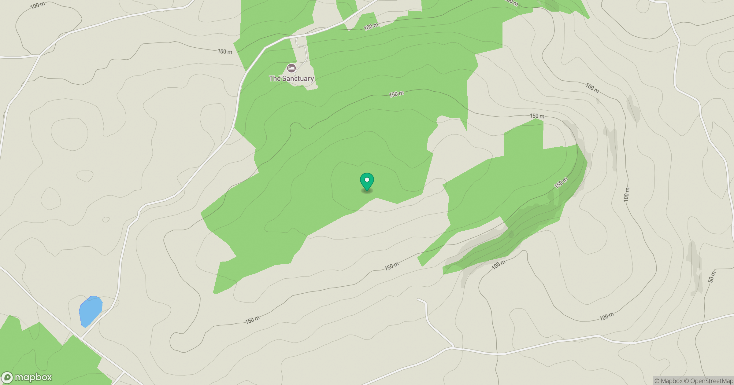
Grid reference: R272829
View on OpenStreetMapOpens a map in a new tab, centred on the hill.
Hills within 30 km
Straight-line distance, not a walking route or confirmation of access.
Knockanes
205m
Slievecallan [Slaibh Callain]
391m
Aillwee
304m
Slievecarran [Sliabh Cairn]
326m
Abbey Hill [Cnoc na Mainistreach]
240m
No comments yet. Be the first.