

Bushey Heath
Good walks are even better shared.
TQ1593 : Crossroads, Bushy Heath
Roger Cornfoot Photo source
Overview
Bushey Heath
Nestled within the bustling Greater London Area, Bushey Heath may not be the highest peak, but it possesses an undeniable charm and is an excellent escape from urban life.
Geology
Bushey Heath is comprised mainly of London Clay and highlights a curious mixture of chalk, which contributes to the area's unique ecosystem. With its rich mineral content, it supports a broad array of flora and fauna that is fascinating to explore.
Routes
The Bushey Heath Circular Walk is a fantastic way to enjoy this little haven. At just 3.5 km, you can complete this walk in around an hour. It’s perfect for families or anyone after a leisurely stroll amidst nature. Expect to see local wildlife enjoying the peace just as much as you will!
Terrain and Summit Features
The terrain is primarily grassy with some uneven points and patches of woodland throughout. Though it's not exactly Everest, the summit offers a flat rooftop-like experience ideal for a chilled-out picnic. Keep an eye out for the wooden bench – it’s the perfect spot to refuel with a homemade sandwich (or a cheeky chocolate bar).
Views
From the summit, you can enjoy a lovely view over Bushey’s rooftops, stretching towards the fields around Watford. The best times to take in the views are during spring when flowers bloom and autumn when the leaves transform into a riot of colours.
Hazards
As always, when out and about, caution is key! Especially after a good downpour, mud can be prevalent, so be careful not to slip and slide – we’d hate for you to be ‘mud-dered’ on your adventure.
Nearby Summits
If you’re looking to stretch your legs a bit further, head over to Harrow on the Hill featuring a slightly more challenging elevation at 120 meters.
Access
Parking is available on Bushey Heath Road, but do arrive early as it fills quickly. If public transport is more your style, there are bus services from Watford and Harrow, dropping you just minutes from the heath's entrance.
Facilities
For those after refreshments, the town of Bushey is just a mile away and offers a variety of cafés and shops. Plus, public toilets are conveniently located in the town centre.
History
The name 'Bushey' comes from the Old English terms meaning 'bush' and 'island', giving insight into the area’s lush greenery from yesteryear. Historically, the heath served as a grazing ground for livestock, echoing the pastoral charm that still resonates today.
So lace up your walking boots, pack your essentials, and come visit Bushey Heath – a little treasure in the heart of the city!
Explore routes near Bushey Heath
Walks starting near this hill. Open a route to check its map, distance and full itinerary.
Cassiobury Park: tree avenues, bandstand and Park Hub
View route
Ruislip Lido: lake circuit and Park Wood
View route
Trent Country Park: Sassoon’s Obelisk and Camlet Moat
View route
Verulamium Park: Roman walls, the Hypocaust and lakes
View route
Route planning notes
These notes describe possible approaches. Check a route's map and access information when planning your walk.
Bushey Heath Circular Walk
A pleasant circular path that takes you around the heath, offering various views and access to local wildlife.
Make a day of it, together
Find someone to share the walk with, or organise a day out along a route you like.
Photo Gallery
View all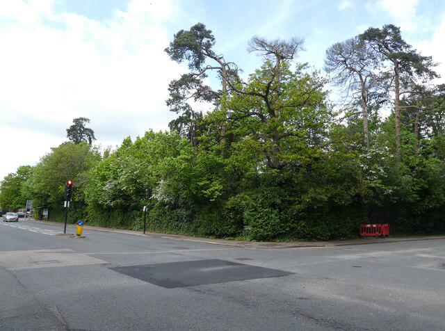 Photo could not load
TQ1593 : Crossroads, Bushy Heath
Roger Cornfoot
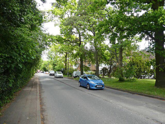 Photo could not load
TQ1593 : Magpie Hall Road
Roger Cornfoot
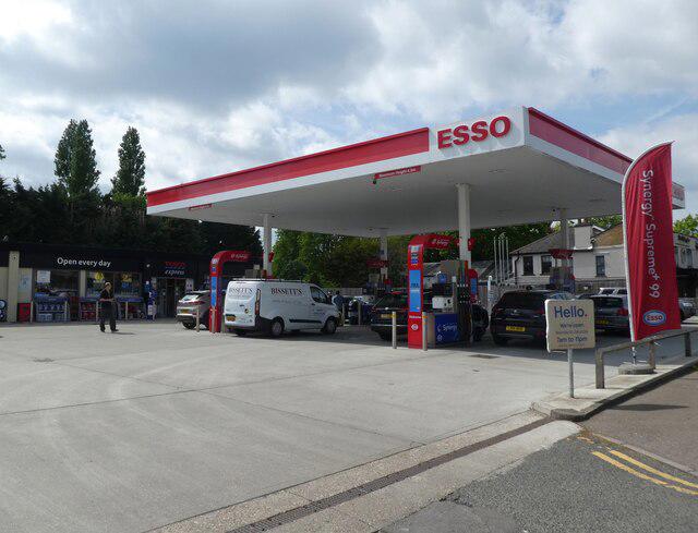 Photo could not load
TQ1493 : Esso Petrol Station, Bushey Heath
Roger Cornfoot
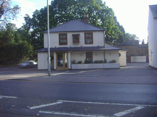 Photo could not load
TQ1593 : The Alpine restaurant, Harrow Weald
David Howard
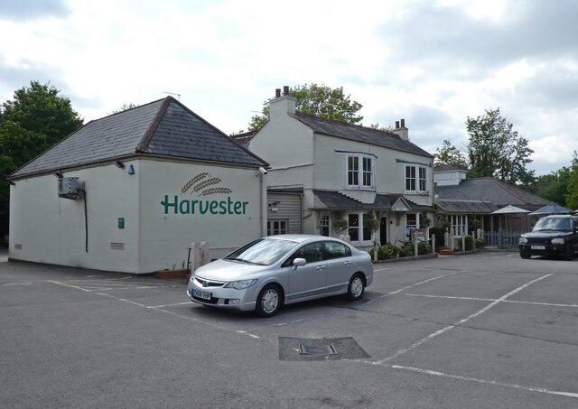 Photo could not load
TQ1593 : Harvester, Bushey Heath
Roger Cornfoot
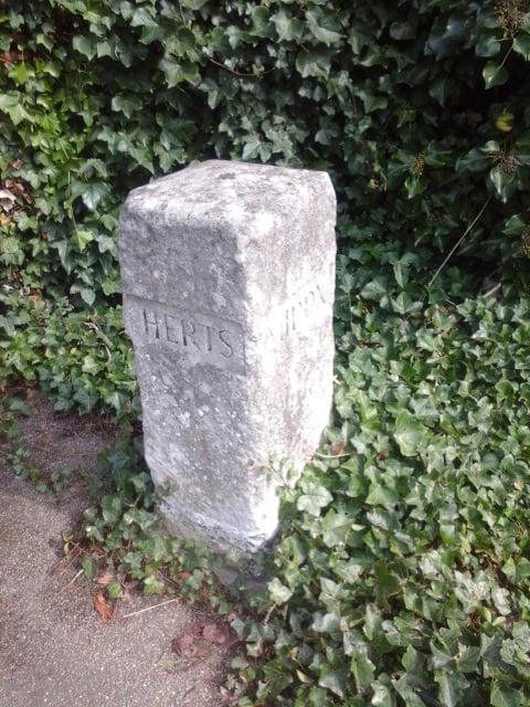 Photo could not load
TQ1593 : Old Boundary Marker on the A4140 Bushey High Road
D Tylden-Pattenson
Hill facts and local notes
Classifications
Elevation
153m
503 ft
Prominence
80m
Coordinates
51.6322, -0.3382
TQ151939
OS Map
176
Explorer: 173
At the Summit
The summit is relatively flat with a small grassy area. There is also a modest wooden bench perfect for a breather or a cheeky snack.
Terrain & Geology
Bushey Heath is primarily composed of London Clay and a mixture of chalk. The area is rich in various minerals and provides a unique habitat for diverse flora and fauna.
Views & Scenery
On a clear day, you can see over the rooftops of Bushey to the fields stretching towards Watford and beyond.
History & Heritage
Name Origin
The name 'Bushey' is derived from Old English 'bus', meaning 'bush', and 'hy', meaning 'island', indicating a place of bushes or woodland.
Historical Significance
Bushey Heath has long been a popular spot for both locals and visitors, historically serving as a grazing area for livestock.
Getting There & Facilities
Parking
There is a small car park at the entrance to the heath on Bushey Heath Road, suitable for around 10 cars.
Public Transport
Regular bus services connect Bushey Heath with Watford and Harrow, with the nearest bus stop just a short walk away.
Nearby Facilities
Local cafés and shops are available in Bushey town centre, approximately 1 mile from the heath. Public toilets can be found in Bushey town.
Safety Information
Known Hazards
- Watch out for muddy patches after rain; you might just find yourself ‘mud-dered’ while innocently strolling!
General Safety Tips
- Check weather conditions before setting out
- Carry appropriate clothing and equipment
- Let someone know your planned route
- Take a map, compass, and GPS device
- Carry emergency supplies: food, water, first aid kit, torch
Hills
Some common questions about the hills answered
Are there group walks up Bushey Heath?
Many walkers use Walkmates to join or organise walks with others. You can check for group walks around Bushey Heath through the maps
Are there other walkers around Bushey Heath?
Activity varies by location and time, but Walkmates lets you see whether others have shared walks or shown interest in this area. Find other people through the walking friends search walking friends for Bushey Heath search or of course create your own walk for Bushey Heath
Can I organise a walk to Bushey Heath?
Yes. If there aren’t any walks listed already, you can create a walk and make it available for others to join.
If you're signed up to Walkmates, you can create a walk to Bushey Heath.
How do I find a walk up this hill?
There are often multiple ways to walk this hill, depending on experience and route preference. Walkmates helps you explore walks and routes that others have shared.
Can I suggest a new route up Bushey Heath?
Yes. You can suggest or create routes to share with others. Walkmates focuses on the social side of walking, so routes are used to help people organise walks and explore areas together, rather than as detailed navigation tools or route libraries.
Other uses really appreciate knowledgeable walkers sharing their routes. Share your favourite route to Bushey Heath here
The is an error or something incorrect about this hill. How do I let you know?
We always strive to keep the information on Walkmates as accurate as possible. If you find an error, please let us know through the contact form and we'll aim to correct it as quickly as possible
Community Discussion
Comments
Location
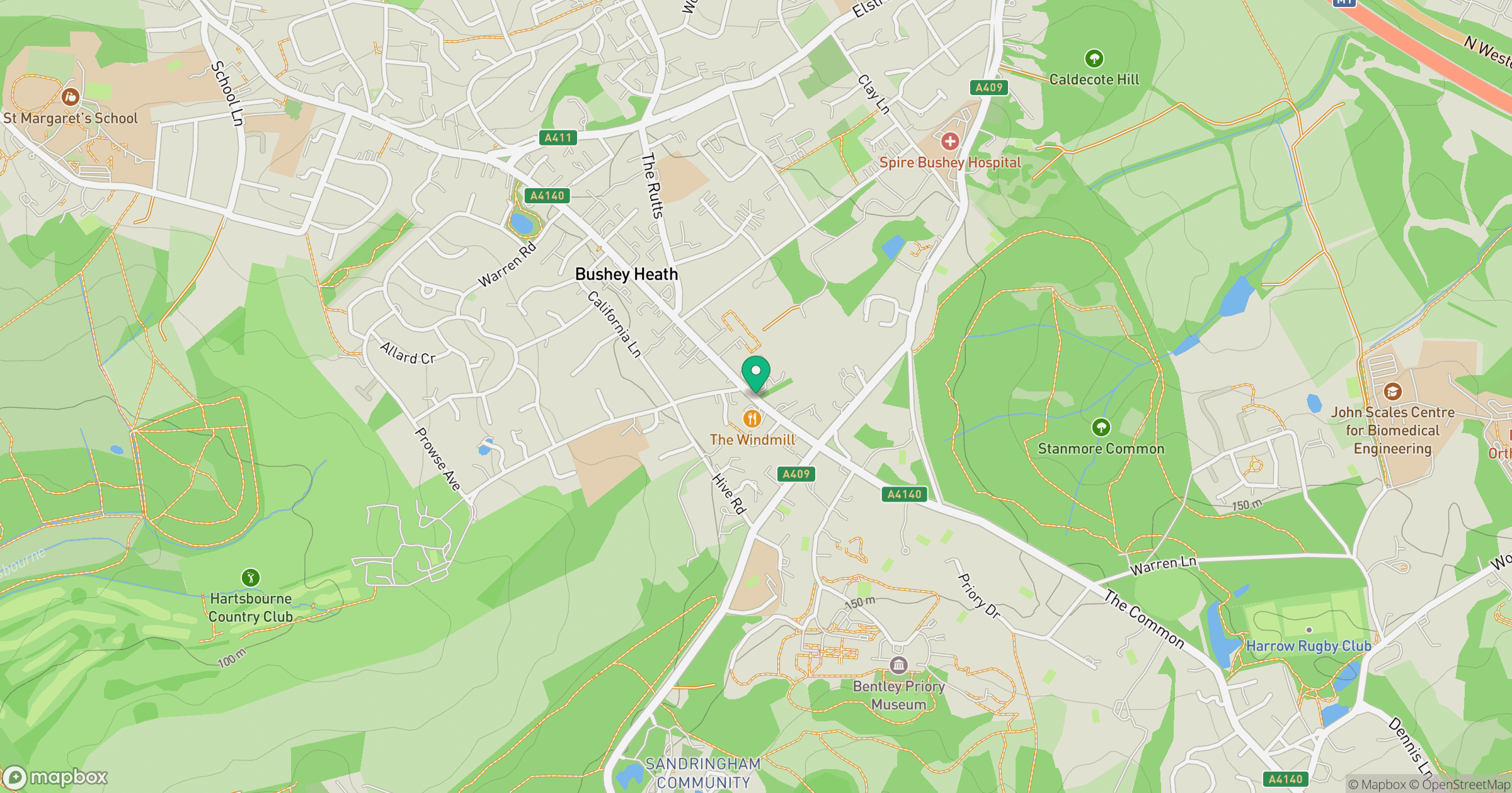
Grid reference: TQ151939
View on OpenStreetMapOpens a map in a new tab, centred on the hill.

No comments yet. Be the first.