
Canal / Riverside
Circular
Easy
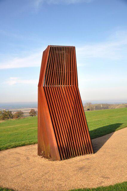
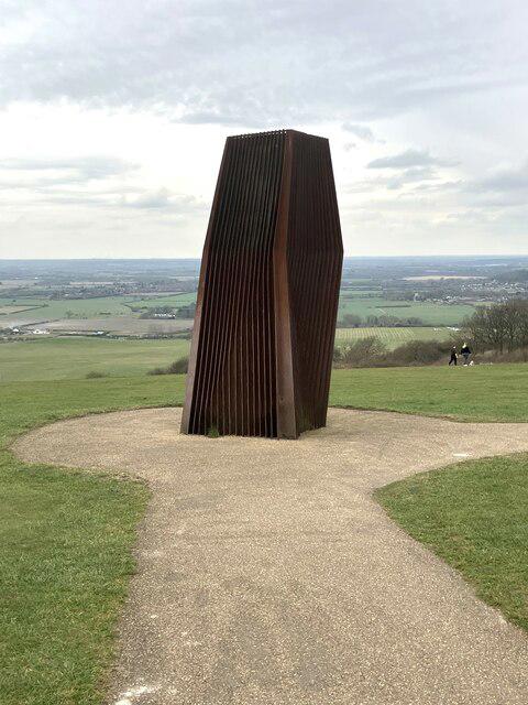
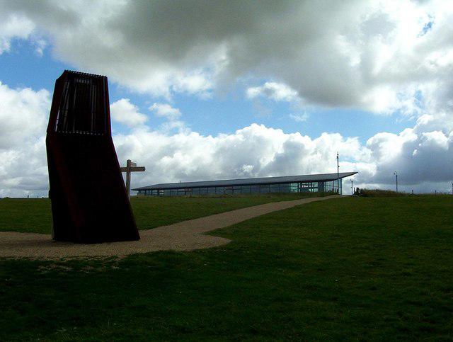
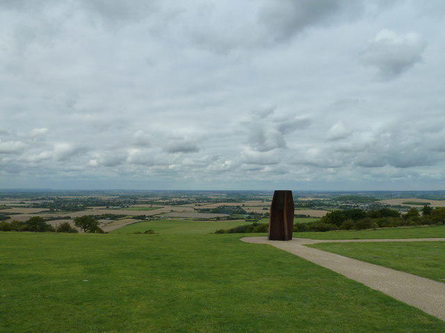
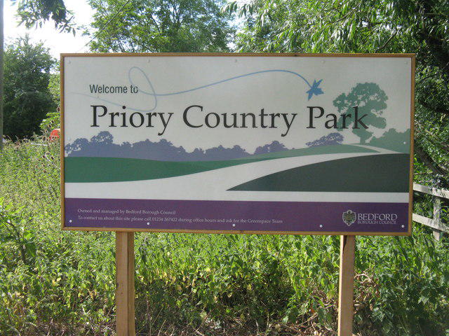
Priory Lake and Priory Country Park Circular in Bedford
PaulWalkmates
Walk organiser
No comments yet. Be the first.