

Blea Rigg
Good walks are even better shared.
NY3007 : Flying Sycamore
Michael Graham Photo source
Overview
Blea Rigg: A Hiker's Delight
Nestled in the heart of the Lake District, Blea Rigg rises to an elevation of 480 meters, offering a moderate challenge for enthusiastic hikers. It’s a gem of a hill that promises stunning views and a sense of tranquillity.
Geology
Blea Rigg is primarily composed of sandstone formed over millions of years, with the landscape shaped by glacial activity. If you’re lucky, you might also spot some intriguing slate formations. It’s a great spot for geology buffs!
Access
Starting your adventure at Grasmere is both convenient and picturesque. The nearest parking is available at the Grasmere car park, directly leading you to the foot of the hill. Public transport to Grasmere is reliable, with buses connecting it to larger towns like Windermere.
The Routes
One popular route is the Blea Rigg via the Grasmere Trail. Spanning 6 kilometers, it can be completed in approximately 2.5 hours. The trail meanders through beautiful landscapes, reminding you of nature's artistry all along the way. Just a tip, remember to pack your camera!
Summit Features
Upon reaching the summit, you'll be greeted by a simple yet impressive stone cairn. This not only acts as a waypoint for fellow hikers but also serves as a testament to all that have tread this path before you. Don’t forget to take a selfie; proof is key!
Views
The panoramic views from the top are nothing short of splendid. You’ll be treated to sights like Helm Crag and a sprawling panorama of other fells. The best time for these stunning vistas is in spring and autumn, when the landscapes are bursting with colours. Clear summer days also work wonders, ideal for those perfect ‘grammable moments.
Hazards
Like any outing in the mountains, keep an eye out for loose stones and watch your footing, especially on wet days. Fog can quickly roll in and reduce visibility, so always be prepared.
Nearby Summits
While Blea Rigg stands proud, it is accompanied by several notable neighbours, including Helm Crag at 405 meters and Weatherlam towering higher at 763 meters.
Facilities
Once you descend, the village of Grasmere beckons with a plethora of facilities including delightful cafes and pubs, perfect for a warming cuppa or a hearty meal. Public toilets are available, ensuring your comfort before heading back out.
History
The name 'Blea Rigg' might come from Old Norse, possibly highlighting the colour of the land or rocks. Its history is woven into the narrative of the Lake District, celebrated by poets and loved by hikers alike.
So, lace up your boots, grab your walking stick, and set out for an unforgettable experience at Blea Rigg. Happy hiking!
Explore routes near Blea Rigg
Walks starting near this hill. Open a route to check its map, distance and full itinerary.
Bow Fell from Langdale
View route
Great Carrs Halifax Wreckage from Wrynose Pass
View route
Scafell Pike from Seathwaite via the Corridor Route
View route
Tarn Hows Fast Route
View route
Route planning notes
These notes describe possible approaches. Check a route's map and access information when planning your walk.
Blea Rigg via the Grasmere Trail
A scenic route starting from Grasmere, offering stunning views along the way.
Make a day of it, together
Find someone to share the walk with, or organise a day out along a route you like.
Photo Gallery
View all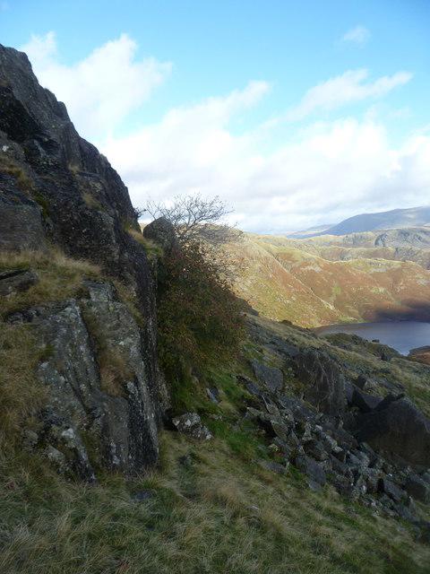 Photo could not load
NY3007 : Flying Sycamore
Michael Graham
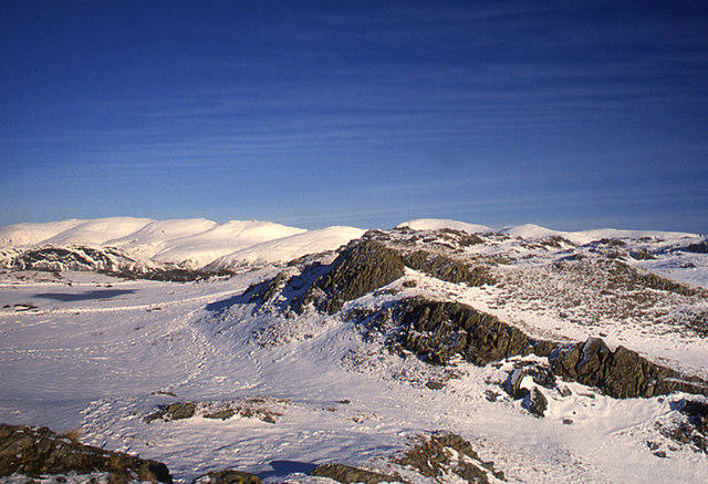 Photo could not load
NY3007 : Blea Rigg under snow
Tom Richardson
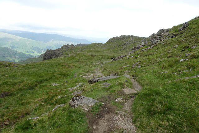 Photo could not load
NY2907 : Path approaching Blea Crag
DS Pugh
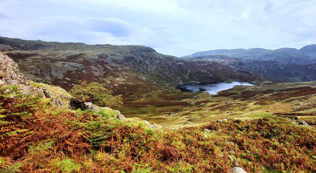 Photo could not load
NY3007 : Lower Edge of Blea Rigg high above Easedale Tarn
Anthony Parkes
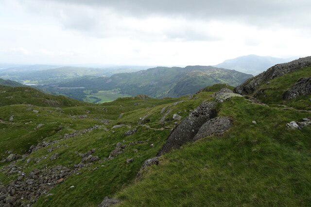 Photo could not load
NY3007 : East of Blea Rigg
DS Pugh
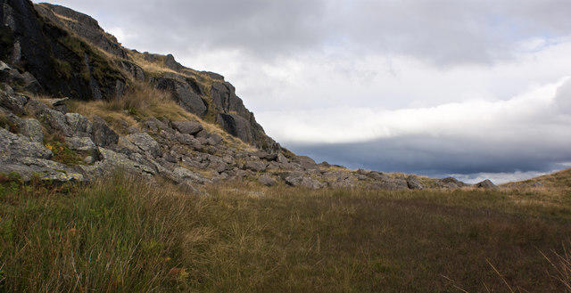 Photo could not load
NY3007 : Still no trace of the path
Ian Greig
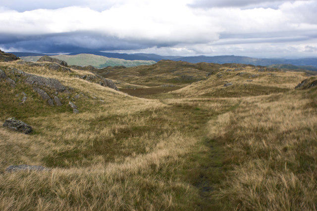 Photo could not load
NY3007 : What have we here?
Ian Greig
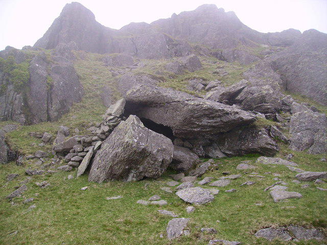 Photo could not load
NY3007 : Shelter, Blea Rigg
Michael Graham
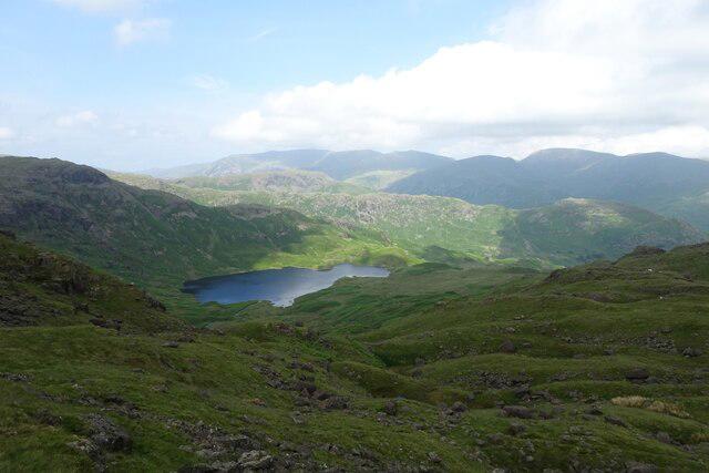 Photo could not load
NY3007 : Towards Codale Tarn from Blea Rigg
DS Pugh
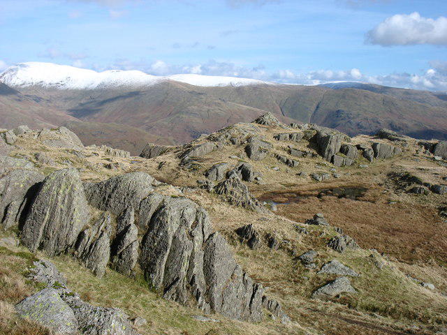
NY3007 : On Blea Rigg
David Purchase
Hill facts and local notes
Classifications
Elevation
542m
1,777 ft
Prominence
6m
Coordinates
54.4611, -3.0788
NY301078
OS Map
90
Explorer: OL6N OL7N
At the Summit
The summit features a substantial stone cairn, providing a great photo opportunity and a sense of accomplishment.
Terrain & Geology
Predominantly formed from sandstone with some slate and volcanic rock influences, Blea Rigg's rugged terrain illustrates the geological history of the Lake District.
Views & Scenery
From the summit, you can enjoy breathtaking views of the surrounding fells, including Helm Crag and the outlines of the southern Lakes.
History & Heritage
Name Origin
The name 'Blea' potentially derives from Old Norse 'bleik', meaning pale or blue, referring to the hue of the rocks or the landscape.
Historical Significance
Blea Rigg is part of the broader cultural narrative of the Lake District, often celebrated in poetry and literature, including the works of Wordsworth.
Getting There & Facilities
Parking
Parking is available at the Grasmere car park (fee applies), located just a short walk from the trailhead.
Public Transport
Regular buses connect Grasmere to Windermere and Ambleside, making it accessible without a car.
Nearby Facilities
Grasmere offers various facilities, including cafes, pubs, and public toilets for hikers seeking refreshments.
Safety Information
Known Hazards
- Watch for loose stones on the trails. Some paths may become slippery in wet conditions.
- Ensure to navigate carefully in foggy weather, as visibility can diminish rapidly.
General Safety Tips
- Check weather conditions before setting out
- Carry appropriate clothing and equipment
- Let someone know your planned route
- Take a map, compass, and GPS device
- Carry emergency supplies: food, water, first aid kit, torch
Hills
Some common questions about the hills answered
Are there group walks up Blea Rigg?
Many walkers use Walkmates to join or organise walks with others. You can check for group walks around Blea Rigg through the maps
Are there other walkers around Blea Rigg?
Activity varies by location and time, but Walkmates lets you see whether others have shared walks or shown interest in this area. Find other people through the walking friends search walking friends for Blea Rigg search or of course create your own walk for Blea Rigg
Can I organise a walk to Blea Rigg?
Yes. If there aren’t any walks listed already, you can create a walk and make it available for others to join.
If you're signed up to Walkmates, you can create a walk to Blea Rigg.
How do I find a walk up this hill?
There are often multiple ways to walk this hill, depending on experience and route preference. Walkmates helps you explore walks and routes that others have shared.
Can I suggest a new route up Blea Rigg?
Yes. You can suggest or create routes to share with others. Walkmates focuses on the social side of walking, so routes are used to help people organise walks and explore areas together, rather than as detailed navigation tools or route libraries.
Other uses really appreciate knowledgeable walkers sharing their routes. Share your favourite route to Blea Rigg here
The is an error or something incorrect about this hill. How do I let you know?
We always strive to keep the information on Walkmates as accurate as possible. If you find an error, please let us know through the contact form and we'll aim to correct it as quickly as possible
Community Discussion
Comments
Location
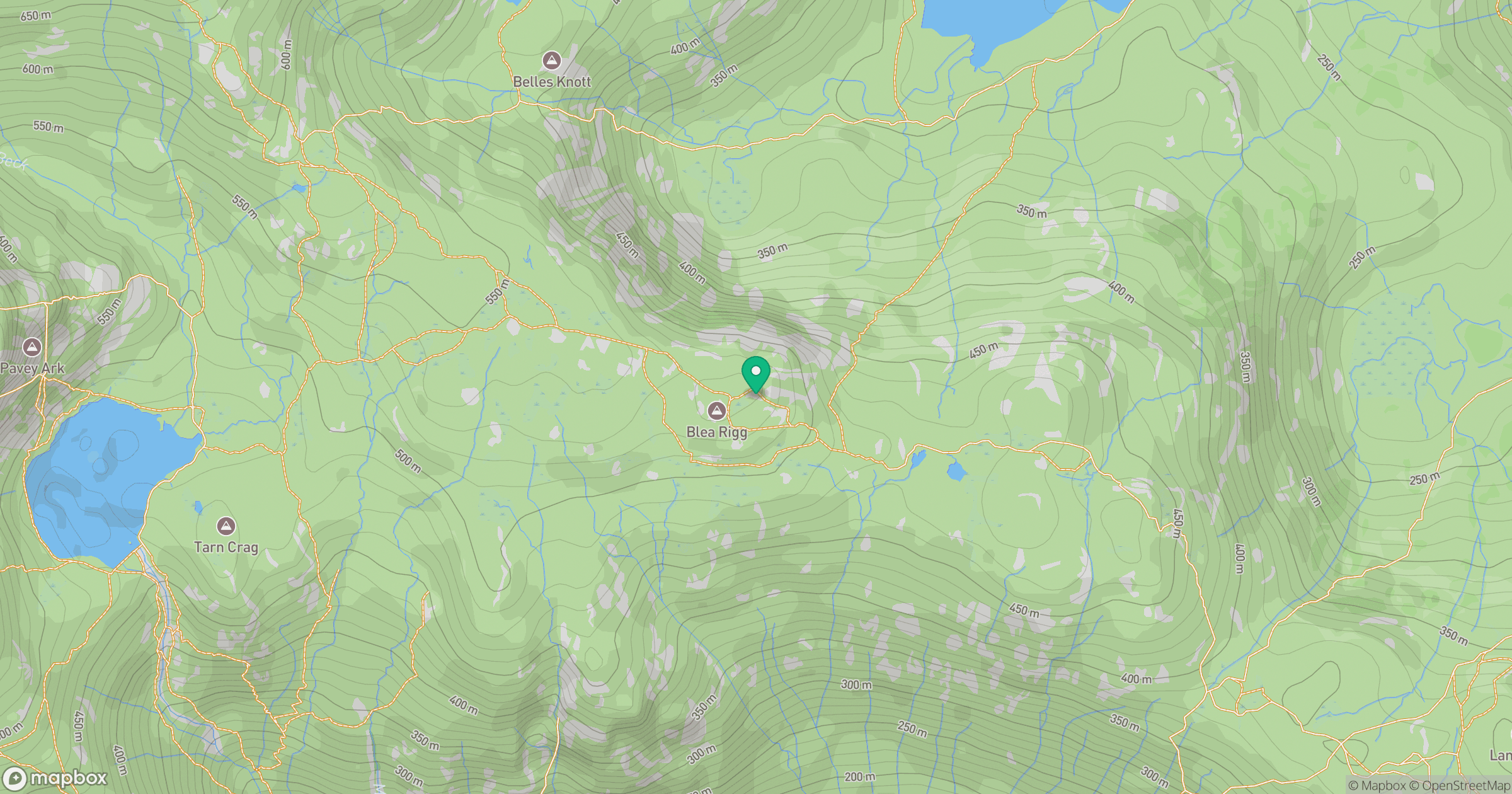
Grid reference: NY301078
View on OpenStreetMapOpens a map in a new tab, centred on the hill.
No comments yet. Be the first.