

Beckton Alps
Good walks are even better shared.
TQ4382 : Bus stop and shelter on Newham Way (A13)
JThomas Photo source
Overview
Beckton Alps
If you’re looking for a hike that won’t leave you gasping for breath, the Beckton Alps in East London might just tickle your fancy. Standing at a mighty 33 metres, these hills are a subtle reminder that not all great heights need to be treacherous!
Geology
The Beckton Alps are primarily made from the remnants of industrial waste - soil, clay, and you name it! This unique form of 'mountain' construction gives the Alps a fascinating geological background, transformed from a waste site into a lush area of recreation and wildlife.
Routes
The most popular route starts from Beckton District Park East, covering about 1.5 km. It's easy-peasy, and you can conquer it in about half an hour if you don’t stop to chase butterflies!
Summit Features
When you reach the top, you won't find a traditional trig point or grand cairn. Instead, you’ll enjoy a lovely grassy mound where you can sit and ponder life – or maybe just your next snack.
Terrain Type
The terrain is primarily grassy, which is perfect for a leisurely stroll. Keep an eye out for wildflowers in spring!
Views
From the summit, you can admire panoramic views of East London, including the River Thames and the busy skyline. Honestly, if you squint, you might even pretend you’re on top of the world. Best seasons for these views? Spring and summer are absolute winners!
Hazards
While navigating the Beckton Alps, be wary of uneven ground and fellow park-goers who may be obliviously enjoying their picnics. You wouldn’t want to become part of the sandwich settlement, now would you?
Nearby Summits
Not far from the Beckton Alps lies East Ham Nature Reserve, standing at a humble 27 metres. A perfect addition for a day of exploration!
Access
You can park for free at Beckton District Park East, making it an inviting place to kick off your walk. If you’re relying on public transport, hop on the DLR to Beckton station, and you’ll find yourself just a leisurely stroll away from nature’s batch of hills.
Facilities
The park has toilets and a cosy café perfect for a hot drink after your substantial exertion.
History
Interestingly, the name 'Beckton Alps' is simply a cheeky moniker derived from the artificial hills that were once dumps. The area has been transformed for community use and is a testament to creative urban rebirth.
So grab your walking shoes and perhaps a picnic (but be careful who you share with), and enjoy the Beckton Alps – your new favourite ‘mountain’ getaway in East London!
Explore routes near Beckton Alps
Walks starting near this hill. Open a route to check its map, distance and full itinerary.
Abbey Wood Walk with Men Walking & Talking
View route
Wanstead Park Chestnut Trail
View route
Greenwich Park, Observatory View and One Tree Hill
View route
Rotherhithe Walk & Talk
View route
Route planning notes
These notes describe possible approaches. Check a route's map and access information when planning your walk.
Beckton District Park East
A gentle ascent from the park's main entrance to the summit of Beckton Alps, providing a short but enjoyable walk.
Make a day of it, together
Find someone to share the walk with, or organise a day out along a route you like.
Photo Gallery
View all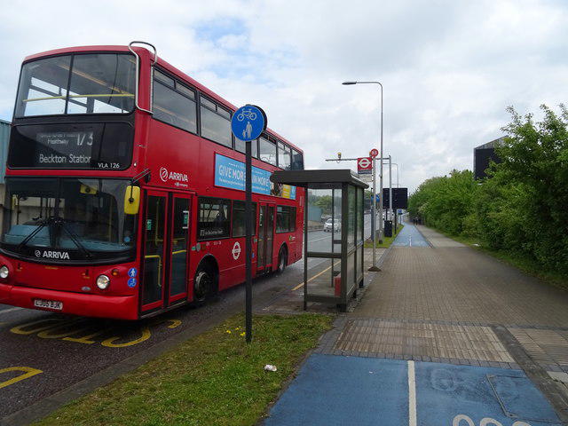 Photo could not load
TQ4382 : Bus stop and shelter on Newham Way (A13)
JThomas
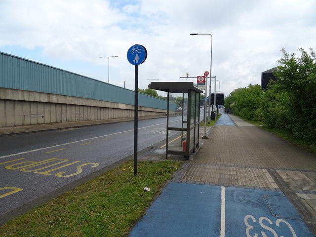 Photo could not load
TQ4382 : London Cycle Superhighway 3 (CS3)
JThomas
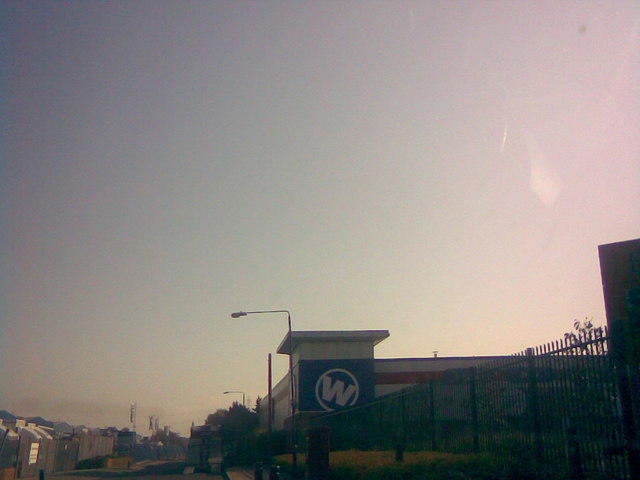 Photo could not load
TQ4381 : View of the Big W Clearance Store from Alpine Way
Robert Lamb
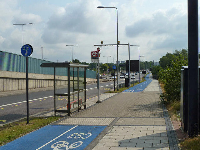 Photo could not load
TQ4382 : Woolwich Manor Way bus stop
Robin Webster
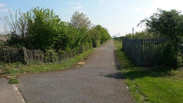 Photo could not load
TQ4382 : Greenway at Beckton Alps
David Martin
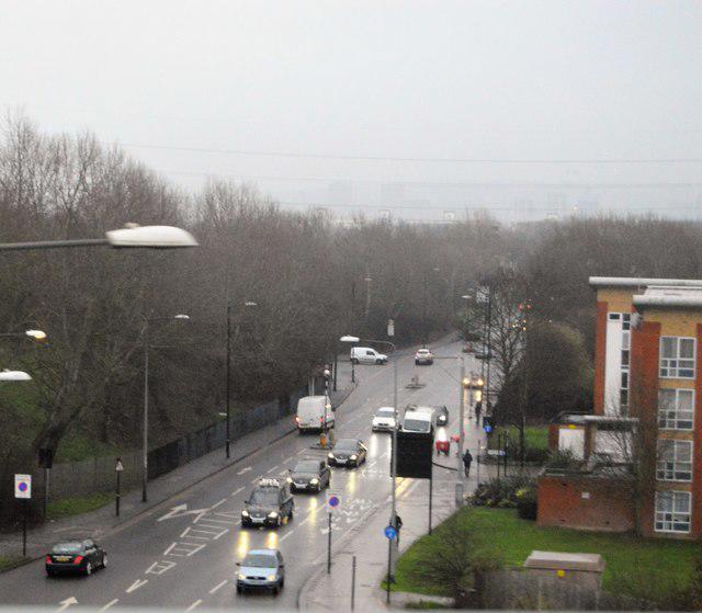 Photo could not load
TQ4282 : A117
N Chadwick
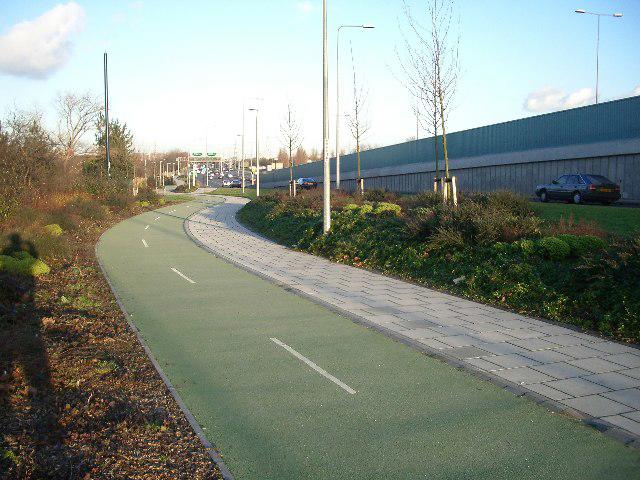 Photo could not load
TQ4382 : No litter or graffiti in East Ham
John Davies
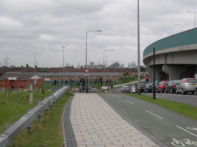 Photo could not load
TQ4382 : Beckton Alps Junction
Danny P Robinson
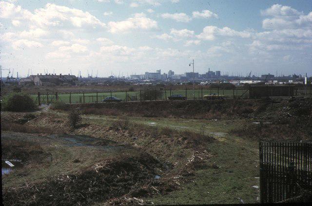 Photo could not load
TQ4382 : Royal Docks Skyline, 1973
Pierre Terre
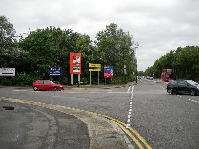
TQ4381 : Woolwich Manor Way, Junction with Alpine Way.
Danny P Robinson
Hill facts and local notes
Classifications
Elevation
35m
115 ft
Prominence
31m
Coordinates
51.5193, 0.0614
TQ431820
OS Map
177
Explorer: 162
At the Summit
At the summit, there are several mounds with grassy surfaces and the occasional path, but no defined summit structure like a cairn or trig point. It’s all about the hill, dear.
Terrain & Geology
The Beckton Alps are primarily constructed from industrial waste material, predominantly comprising soil and clay, resulting from the nearby sewage works. This gives them a unique landscape rooted in local industrial history.
Views & Scenery
Panoramic views of East London, including sights of the River Thames and the London skyline on clear days.
History & Heritage
Name Origin
The name 'Beckton Alps' is somewhat tongue-in-cheek, referring to the man-made hills that were created from refuse material, providing a 'mountainous' experience in an otherwise flat landscape.
Historical Significance
Once simply a waste site, the area has transformed into a recreational space for locals, offering a unique touch of nature amidst the urban sprawl.
Getting There & Facilities
Parking
Car parking is available at Beckton District Park East; it’s free and close to the walking paths.
Public Transport
The nearest station is Beckton DLR, which is about a 15-minute walk from the park entrance.
Nearby Facilities
Nearby facilities include public toilets and a café at Beckton District Park East, perfect for a post-hike cuppa or light snack.
Safety Information
Known Hazards
- Watch out for uneven ground and the odd picnic-goer who doesn’t see you coming!
General Safety Tips
- Check weather conditions before setting out
- Carry appropriate clothing and equipment
- Let someone know your planned route
- Take a map, compass, and GPS device
- Carry emergency supplies: food, water, first aid kit, torch
Hills
Some common questions about the hills answered
Are there group walks up Beckton Alps?
Many walkers use Walkmates to join or organise walks with others. You can check for group walks around Beckton Alps through the maps
Are there other walkers around Beckton Alps?
Activity varies by location and time, but Walkmates lets you see whether others have shared walks or shown interest in this area. Find other people through the walking friends search walking friends for Beckton Alps search or of course create your own walk for Beckton Alps
Can I organise a walk to Beckton Alps?
Yes. If there aren’t any walks listed already, you can create a walk and make it available for others to join.
If you're signed up to Walkmates, you can create a walk to Beckton Alps.
How do I find a walk up this hill?
There are often multiple ways to walk this hill, depending on experience and route preference. Walkmates helps you explore walks and routes that others have shared.
Can I suggest a new route up Beckton Alps?
Yes. You can suggest or create routes to share with others. Walkmates focuses on the social side of walking, so routes are used to help people organise walks and explore areas together, rather than as detailed navigation tools or route libraries.
Other uses really appreciate knowledgeable walkers sharing their routes. Share your favourite route to Beckton Alps here
The is an error or something incorrect about this hill. How do I let you know?
We always strive to keep the information on Walkmates as accurate as possible. If you find an error, please let us know through the contact form and we'll aim to correct it as quickly as possible
Community Discussion
Comments
Location
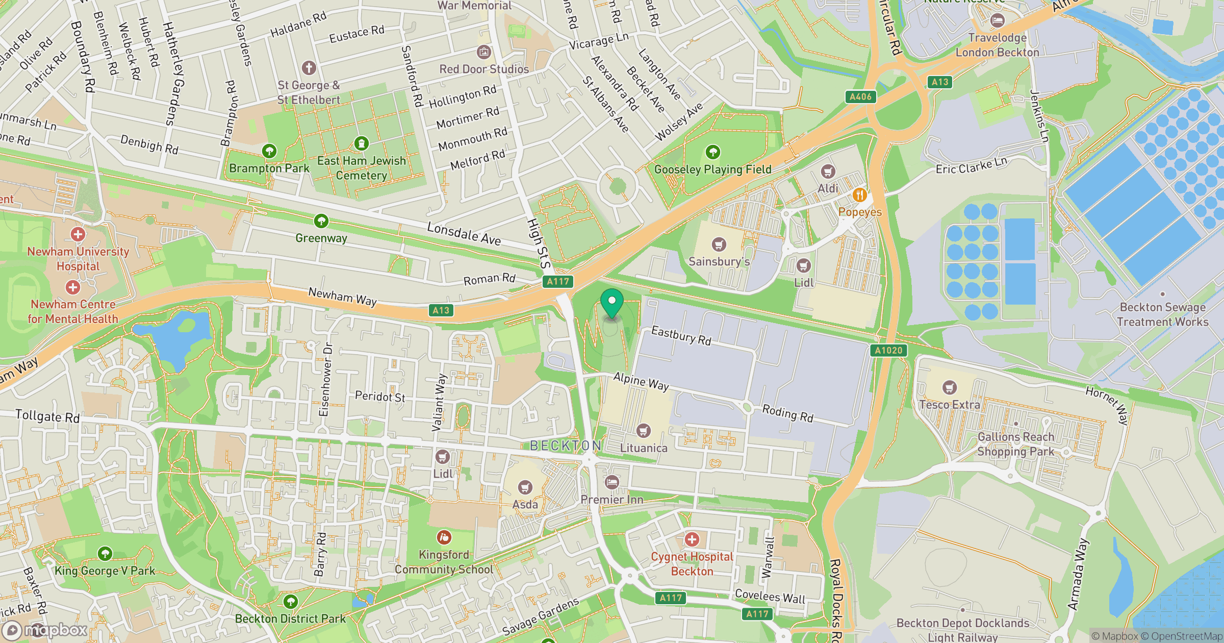
Grid reference: TQ431820
View on OpenStreetMapOpens a map in a new tab, centred on the hill.

No comments yet. Be the first.