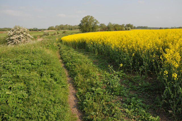
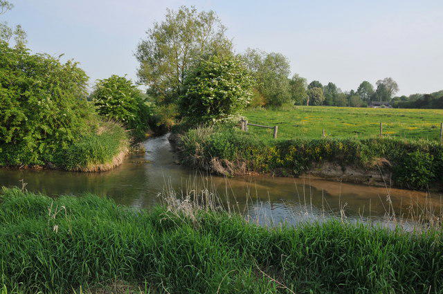
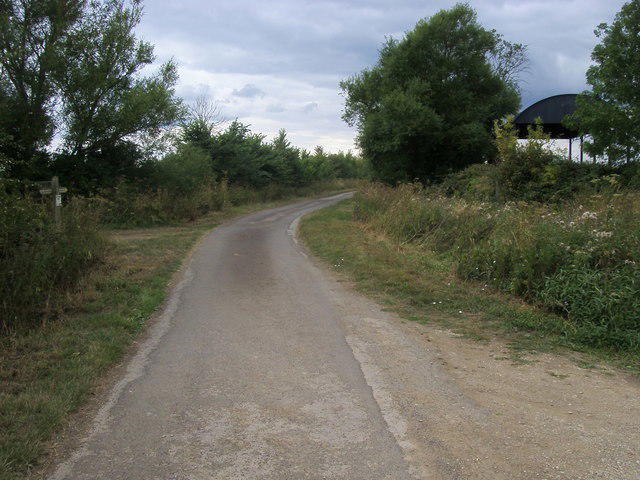
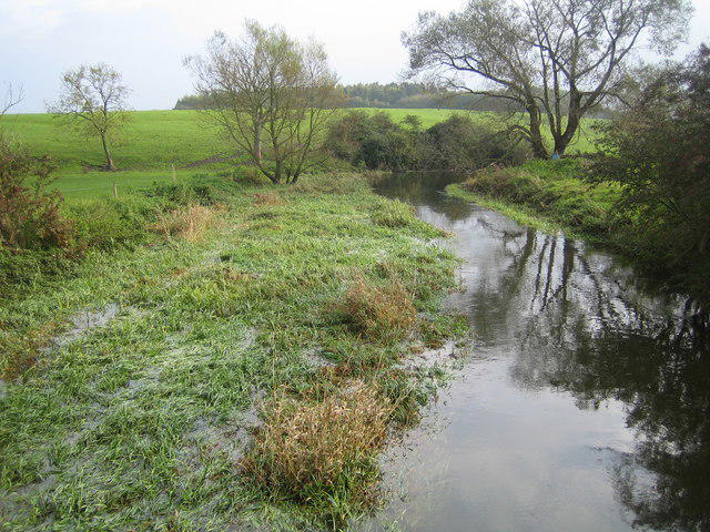
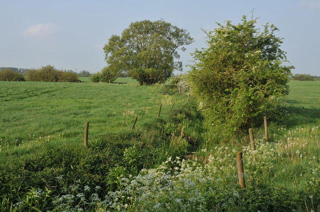
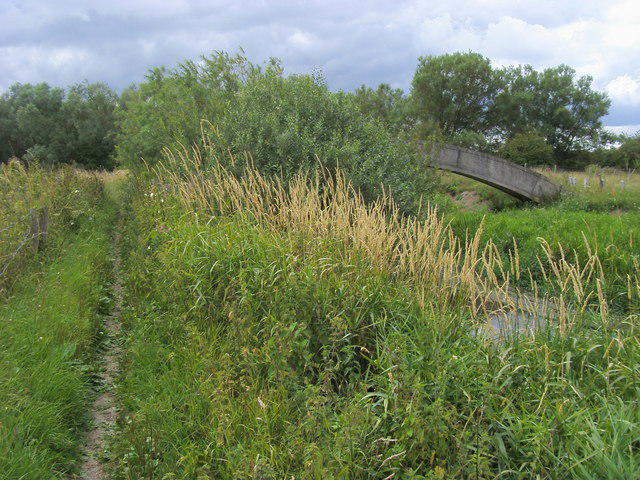
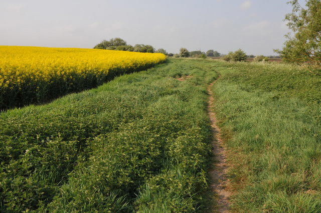
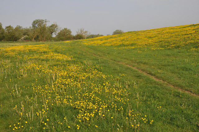
Walk the quieter upper Thames from Cricklade to the riverside at Lechlade. The trail crosses low-lying meadows and a succession of small bridges before reaching Castle Eaton, then takes tracks and field paths away from the river. Beyond Upper Inglesham it returns to the water on the signed off-road route, avoiding the A361 verge. Finish on the towpath beside Halfpenny Bridge, with Lechlade across the road bridge. This 17.4 km one-way walk needs about 4½–5½ hours plus breaks. Although largely level, it includes gates, steps, uneven grass and muddy ground; do not attempt flooded sections. Carry food and water and arrange your return before setting off.
Start and finish
Start at the North Wall / High Street junction, immediately south of Cricklade Town Bridge, at 51.6443498, -1.8547966. Stand on the pedestrian side, not in the carriageway, and follow High Street south to Abingdon Court Lane. The town-centre start is a public junction, not the school entrance.
Finish at the public towpath junction beside the south end of Halfpenny Bridge, 51.6922609, -1.6929277, by the connection to the bridge approach. The route stops before the steps/road crossing into town.
Travel and parking
Use signed public town-centre/Town Hall parking, or Fairview Fields if suitable for your planned stay. Walk to the start on public streets; parking approaches are outside the plotted distance. Do not use school or pub parking without permission.
Current tariffs and stay conditions not verified; check the signs before leaving the car.
Current gate hours and event restrictions not verified.
Toilet availability and opening hours have not been confirmed.
A possible bus return is service 64 from Lechlade towards Swindon, then Stagecoach 51 towards Cricklade; check the travel date, actual interchange stops, connection and last departures. Do not assume a direct service or a guaranteed connection. A prearranged lift or taxi is another option. Bus-stop and town-centre approaches are outside the plotted route.
Terrain and access
Follow the signed National Trail, especially where it leaves the river after Castle Eaton. The riverbank is not continuously a public walking route; do not invent waterside shortcuts.
The official route provider confirms the Upper Inglesham–Inglesham off-road replacement is open for public use. Do not follow older guidebooks onto the A361 verge.
The line includes many bridges, short flights of steps, gates and kissing gates. Some mapped steps have no handrail. This is not a step-free or wheelchair-accessible itinerary.
Low-lying grass paths and water meadows can be muddy or inundated. Check current Environment Agency warnings and local signs before departure; never enter floodwater or use the road as an improvised bypass.
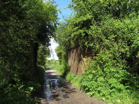
Street and lane sections occur at Cricklade, Castle Eaton and on rural connecting lanes. Road-centreline mapping represents the road corridor: use pavements where provided, watch traffic, and follow the signed footpath connections.
Keep well back from unprotected river edges and supervise children. Livestock may be present; keep dogs under close control, on a lead around livestock, and close gates.
Stay on the public path at the finish. To enter Lechlade, use the signed steps and the bridge pavement; that bridge crossing and town extension are not included in this plotted line.
National Trails notices checked on 23 October 2026 list no closure on this stage. Check fresh notices and flood warnings before travel; an unlisted obstruction or rising water may still make the path unsafe.
Before you go
Check current route notices, weather and local signs before travelling. This route has not been field-inspected by Walkmates; path surfaces, access and facilities can change. Exact ascent is not verified for this plotted line.
Route information
https://www.nationaltrail.co.uk/en_GB/trails/thames-path/route/
Map data: © OpenStreetMap contributors, licensed under the Open Database Licence (ODbL). https://www.openstreetmap.org/copyright