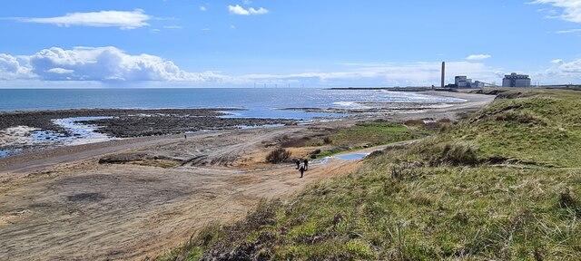
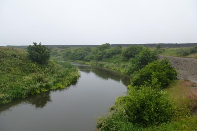
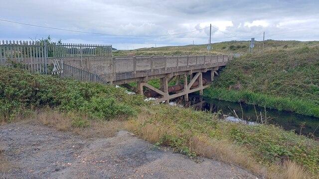
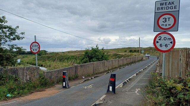
Image shared for Snab Point to the Lynemouth coast path
Coastal Out & back

Snab Point to the Lynemouth coast path

Walk

Northumberland

Distance
2.5 mi
Est. time
1h 30m
Difficulty
Medium
PaulWalkmates Route by PaulWalkmates

Save the route to find it later. Follow it to hear when a date is added.

About this walk

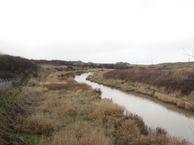
Explore the landward coastal paths south of Snab Point on this approximately 4 km out-and-back. The adjoining Black Beach locality tells a story of sea coal, dark sediment and an industrially altered coast. This walk interprets that setting from established paths: it does not promise a visible coal deposit, an uninterrupted view down to the shore or contact with a particular exposure. Waves and tides redistribute material, so the appearance of the beach changes.

Begin at the coast-footpath junction with the Snab Point parking aisle, on the seaward side of the coast road. The mapped distance starts at this junction, not at a parking bay; your approach is additional. Use the ordinary entrance and paths, watch for moving vehicles and follow current signs. Parking availability, charges, overnight permission and accessible spaces have not been established. If arriving from the opposite side of the road, assess the crossing separately; no protected crossing is included in this route.

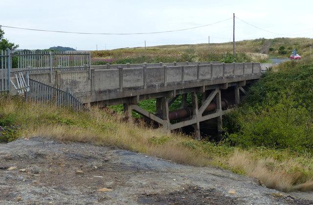
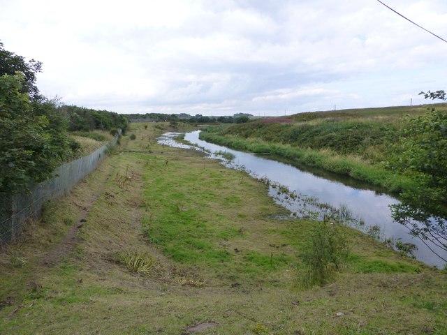
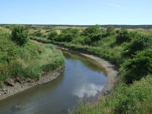
Follow the established landward footpaths south to the path junction north of the River Lyne, then return the same way. The route stops before the southern road and bridge approach. Do not extend it using the older seaward branches, the removed haul bridge or a beach shortcut. No beach descent, river crossing or tidal section is part of this walk, and the map does not grant access to adjacent slopes or the shore.

Allow an estimated 90 minutes of walking, plus your approach and longer stops. Narrow grassy and potentially overgrown stretches alternate with improved compacted paths. Expect uneven or slippery ground and possible vegetation encroachment; step-free access and all-weather surfaces have not been verified. Ascent is unknown. The Moderate grade reflects these variable path conditions rather than a long distance or a claimed steep climb.

Check current signs, closures and weather before setting out. Keep to the established landward route and turn back if erosion, flooding, obstructing vegetation or other conditions make it unsuitable. Do not approach unstable edges or descend to inspect debris. Completed coastal works do not mean that all waste has disappeared, that every path or slope is open, or that the beach is usable at every tide. Do not handle suspect debris or dig for coal; interpret the coast without disturbing it.

Sources and map credit

Walk details

Walk type
Out & back
Category
Coastal
Distance
2.5 mi (4.0 km)
Est. time
1h 30m

Route map

Use the route details to plan your walk

If the map image does not load, the route description and starting-point details are still on this page.

The interactive map will load when you reach this section.

Where to start

Directions to start

Walking on your own?

Start when you're ready and add the walk to your history. No group date needed.

Make this route part of your day

For walkers

Saving and preparing a route

Watch: portrait video or landscape video.

Saving and preparing a route

Read the steps
  1. Open a route and read the practical notes.
  2. Save it to your Saved Walks, then open it again from there.
  3. Check the route map and elevation profile before setting off. Reopen the details on the day.

Saved Walks needs an account. Reopening the website needs a connection; check access, weather and your own navigation before you go.

See how to plan a walk with others

This walk is waiting for a date

Not ready to pick a date? Follow it and you'll hear when somebody else does.

No commitment. You can follow it now and pick a date later.

Along the route

6 places
England Coastal Path
Guidepost
England Coastal Path
Guidepost · 0.0 mi along
England Coastal Path
Guidepost · 0.1 mi along
England Coastal Path
Guidepost · 0.5 mi along
England Coastal Path
Guidepost · 1.2 mi along
England Coastal Path
Guidepost · 1.2 mi along

Terms of Service

Joining a walk

A few things to know before you make plans.

Can I join if no one else is going?

You can be the first to join a scheduled walk. A suggested date is an idea for a group walk; choose Set this date up to organise it. Check the participant list and meeting details before setting off.

What if there is no date yet?

Choose Put a date on this walk to organise a group walk. Not ready to choose a day? Follow the route for scheduling updates, or save it for later.

What does the organiser do?

The organiser sets the date and meeting details and helps the group get started. They are a fellow walker and may be new to the route too.

Each walker is responsible for their own safety and navigation. Check the route, weather, equipment and whether the walk suits your experience and fitness.

Can I walk this route on my own?

Yes. Choose Walk this route on your own to open the start screen, then start when you are ready. Finish the walk to add it to your walking history. You do not need a group date.

What happens after I join?

Use the walk page to check meeting details, updates and who is going. Check in from 24 hours before the start to let the group know you still plan to come.

How do I confirm plans with the group?

Check the participant list and check-ins, and message the organiser or other walkers to confirm where to meet and who is coming. This is especially useful when the group is small.