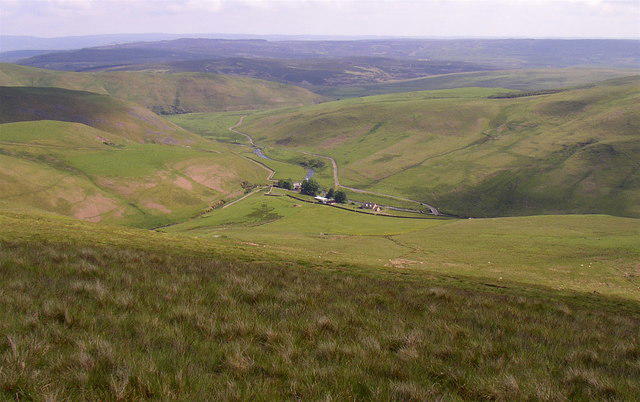
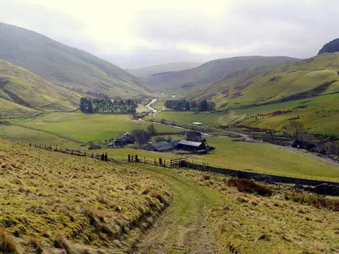
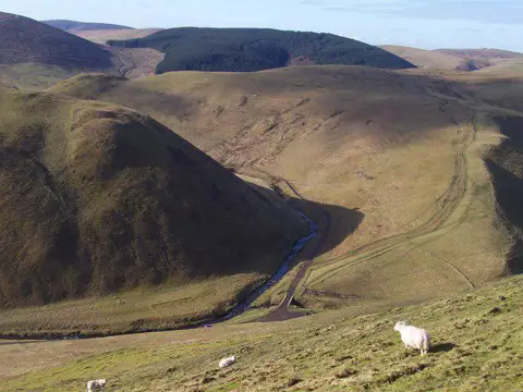
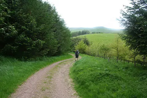
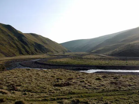
Climb Shillhope Law from Wedder Leap in the Upper Coquet valley, then follow the grassy ridge over Inner Hill to Shillmoor. The 501 metre summit looks across the Coquet and Usway valleys towards the Border hills. Allow about 3 hours 30 minutes for the climb, descent and sensible stops.
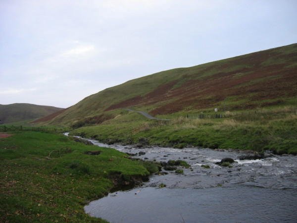
The final almost 4 km follows the narrow public valley road. It has no pavement, blind bends and a 60 mph legal speed limit, with possible military vehicles as well as other traffic. This is a substantial road-walking section, requiring care and judgement at bends and passing places. Choose a different walk if you are uncomfortable sharing an unsegregated rural road. It is not a suitable family walking route.
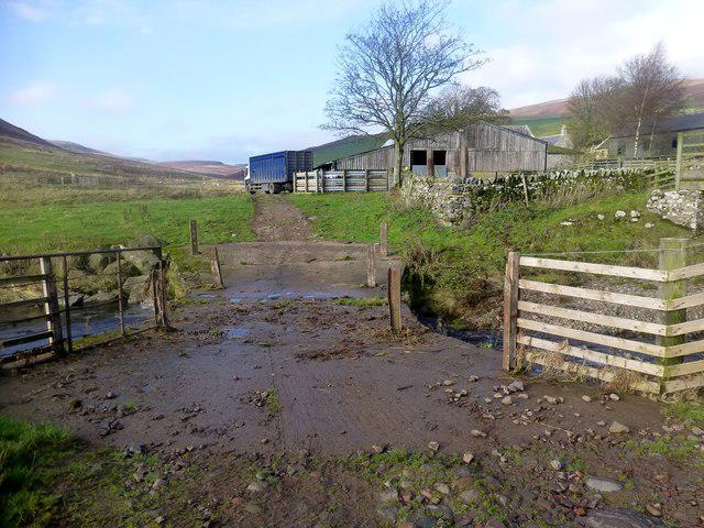
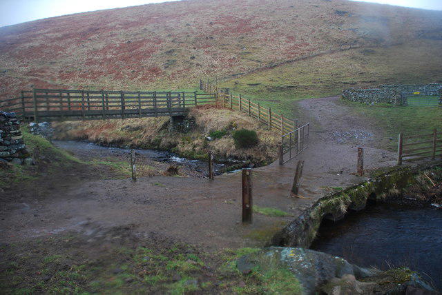
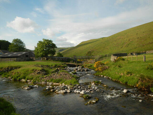
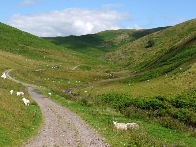
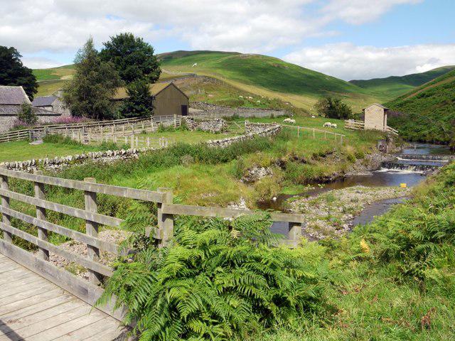
Start at the National Park car park at Wedder Leap. Leave by the parking access and cross the Coquet on the footbridge, then follow the field path towards Barrowburn. Take the climbing path around the northern flank and through the gate onto the grassy ridge. At the upper ridge junction, make the short summit spur to the west and return to the junction. Continue south-east on the broad ridge, passing through the col gate and over Inner Hill, then follow the descending track beside the fence and wall towards Shillmoor. Use the public footpath connector to the valley road and the road bridge, then follow the Upper Coquet road west and north back to Wedder Leap.
Expect sustained uphill and downhill walking, rough grass, gates and some wet or boggy patches. Boots, a map and suitable hill-weather clothing are sensible; visibility can deteriorate on the open ridge. There is no dependable refreshment stop along the circuit, so bring food and water. Keep dogs under close control around livestock. The route avoids the closed Kidland and Uswayford forest paths and uses bridges rather than fords.
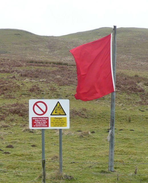
The valley lies beside the Otterburn training area. Check current Ministry of Defence access information and firing notices before travelling, and obey signs, red flags and lamps. The valley road is shown as a public road with unlimited access, but this does not remove the traffic risk.
Route information checked against Northumberland National Park guidance, Ministry of Defence access maps, Northumberland County Council public-path, bridge and road records, and the detailed Shillhope Law roadbooks by Geoff Holland and the Northumberland Hundred. Follow current signs on the ground; historical route accounts are not current closure notices.