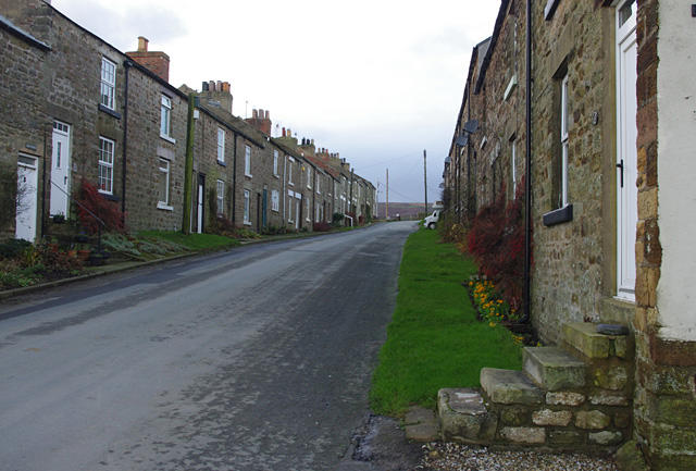
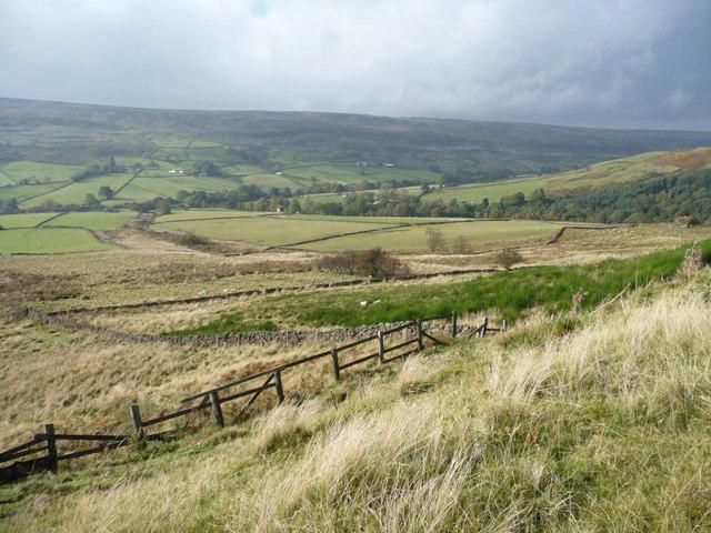
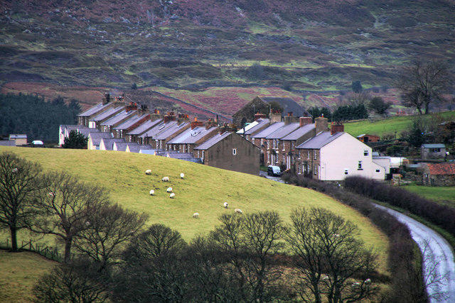
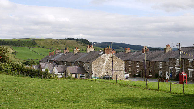
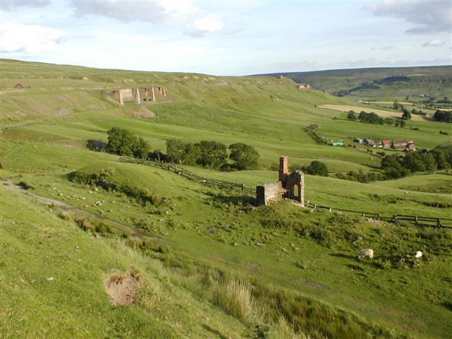
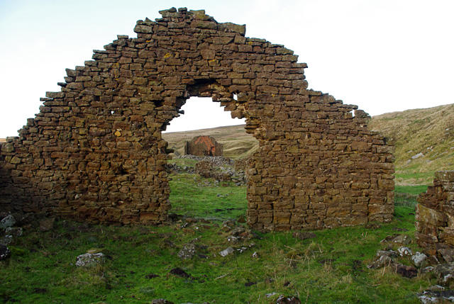
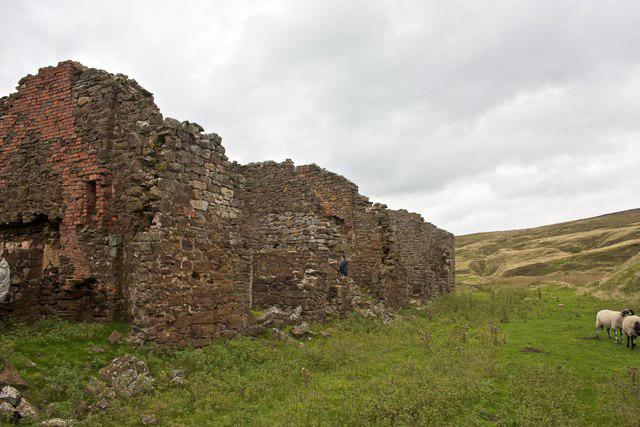
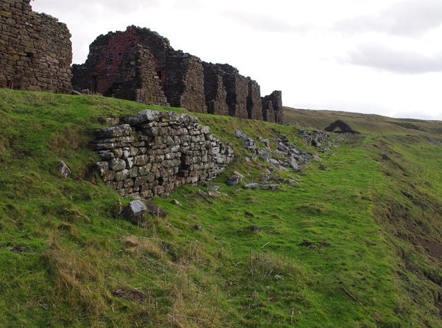
Image shared for Rosedale Abbey, railway and roasting kilns
Countryside Circular

Rosedale Abbey, railway and roasting kilns

Walk

North Yorkshire

Distance
7.4 mi
Walking time
3h–4h
Difficulty
Medium
PaulWalkmates Route by PaulWalkmates

Save the route to find it later. Follow it to hear when a date is added.

Joining information

Commercial status
Noncommercial organiser
Booking
No booking required

About this walk

Explore Rosedale on its established valley-and-railway circuit. From the village green, follow field paths and the old Daleside lane through Thorgill, then pass Hollin Bush Farm and climb beside Dale Head to the former railway. The return follows the lower trackbed past the ironstone kilns before descending through Rosedale East and returning across farmland to the village. Wide moorland views and industrial remains give this long walk its character. Expect uneven ground, gates, stiles, steps and short road sections; keep out of unstable ruins.

The full circuit is about 11.9 km; allow around five hours plus any longer stops. Start at the churchyard entrance beside Rosedale Abbey village green, YO18 8RA. The National Park endorses considerate roadside parking around the green. The start marks the walking departure, not a parking bay. Parking charges, hours and space availability are unverified: obey current signs and do not block residents, gates or passing places. Bank Top is a different location and is not this route’s start.

Stay on the lower railway route described here and keep clear of steep edges and old workings. Do not enter kiln ruins, shafts or unstable buildings. Keep dogs on a lead along the former railway and near livestock, and close gates. Take care around road traffic and farm vehicles.

The elevated railway is exposed to wind and cold; carry waterproofs, food, water and offline navigation. Wear grippy footwear for uneven, wet or slippery ground, and allow enough daylight to finish. Gates, stiles and steps make this unsuitable as a step-free route. Check current authority notices and local signs; floods, damaged structures or forestry/farm work can alter access. Village toilets and refreshments depend on opening hours.

Route geometry: © OpenStreetMap contributors, licensed under the Open Database Licence (ODbL) 1.0. https://www.openstreetmap.org/copyright

Walk details

Walk type
Circular
Category
Countryside
Distance
7.4 mi (11.9 km)
Walking time
3h–4h
Walking time excludes breaks. Allow extra time for stops and conditions. Ascent is not yet included; allow extra time for climbs.
Explorer
Yes, off the beaten track

Route map

Use the route details to plan your walk

If the map image does not load, the route description and starting-point details are still on this page.

The interactive map will load when you reach this section.

Where to start

Directions to start

Walking on your own?

Start when you're ready and add the walk to your history. No group date needed.

Make this route part of your day

For walkers

Saving and preparing a route

Watch: portrait video or landscape video.

Saving and preparing a route

Read the steps
  1. Open a route and read the practical notes.
  2. Save it to your Saved Walks, then open it again from there.
  3. Check the route map and elevation profile before setting off. Reopen the details on the day.

Saved Walks needs an account. Reopening the website needs a connection; check access, weather and your own navigation before you go.

See how to plan a walk with others

This walk is waiting for a date

Not ready to pick a date? Follow it and you'll hear when somebody else does.

No commitment. You can follow it now and pick a date later.

Along the route

22 places
Information
Navigation · 0.1 mi along
Toilets
Essentials · 0.1 mi along
Guidepost
Navigation · 1.1 mi along
Guidepost
Navigation · 2.0 mi along
Parking
Essentials · 3.6 mi along
Dale Head Farm Tea Garden
Cafe · 3.6 mi along
Guidepost
Navigation · 3.6 mi along
Guidepost
Navigation · 3.6 mi along
Information
Navigation · 4.0 mi along
Iron Kilns
Information · 4.7 mi along
Living Amongst Industry
Information · 4.8 mi along
Information
Navigation · 4.8 mi along
Iron Kilns
Information · 4.8 mi along
Made to Measure
Information · 4.8 mi along
Ruins
Historic sites · 4.9 mi along
The Stone Kilns
Information · 5.2 mi along
Lime Kilns
Ruins · 5.3 mi along
Ruins
Historic sites · 5.5 mi along
Ruins
Historic sites · 5.6 mi along
Parking
Essentials · 7.4 mi along
Abbey Store
Shop · 7.4 mi along
Abbey Tea Room
Cafe · 7.4 mi along

Terms of Service

Joining a walk

A few things to know before you make plans.

Can I join if no one else is going?

You can be the first to join a scheduled walk. A suggested date is an idea for a group walk; choose Set this date up to organise it. Check the participant list and meeting details before setting off.

What if there is no date yet?

Choose Put a date on this walk to organise a group walk. Not ready to choose a day? Follow the route for scheduling updates, or save it for later.

What does the organiser do?

The organiser sets the date and meeting details and helps the group get started. They are a fellow walker and may be new to the route too.

Each walker is responsible for their own safety and navigation. Check the route, weather, equipment and whether the walk suits your experience and fitness.

Can I walk this route on my own?

Yes. Choose Walk this route on your own to open the start screen, then start when you are ready. Finish the walk to add it to your walking history. You do not need a group date.

What happens after I join?

Use the walk page to check meeting details, updates and who is going. Check in from 24 hours before the start to let the group know you still plan to come.

How do I confirm plans with the group?

Check the participant list and check-ins, and message the organiser or other walkers to confirm where to meet and who is coming. This is especially useful when the group is small.

Privacy preferences

Necessary storage supports sign-in, security and your privacy choice. It is always on. Google Analytics, Mixpanel and Simple Analytics measure site usage only with your permission. Session recording is off. Rejecting analytics does not affect access.

Your choice lasts up to 180 days. If you accept analytics, a separate receipt records acceptance, the notice version and server time and is scheduled for deletion after 180 days. The receipt contains no account, IP address or browser details. Refusal and withdrawal stay in this browser. You can change your choice here at any time.

Read our privacy policy