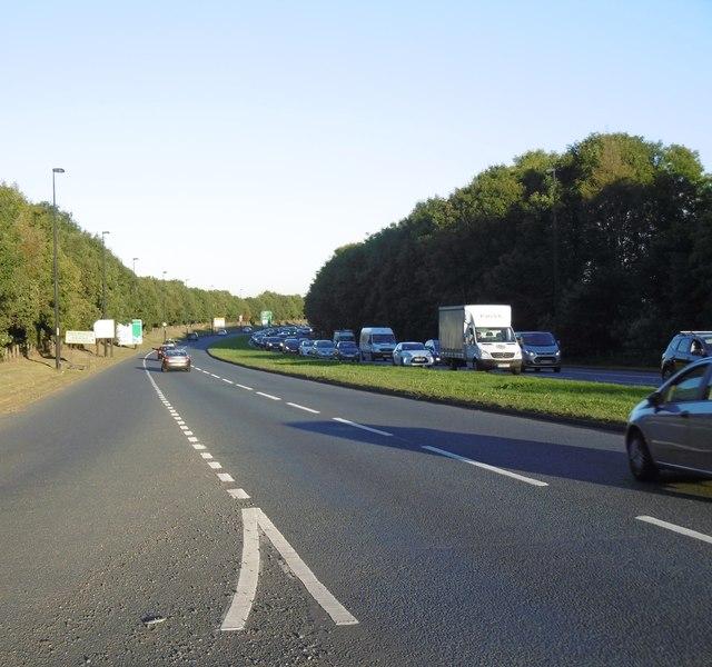
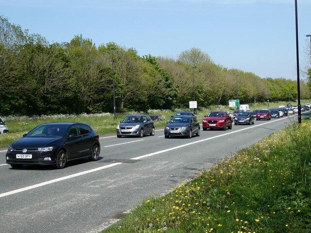
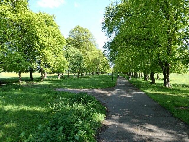
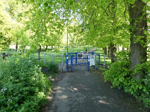
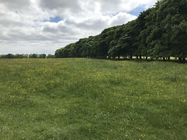
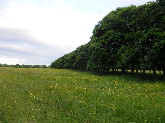
Image shared for Nuns Moor mining landscape: avenue walk
Park / Green space Out & back

Nuns Moor mining landscape: avenue walk

Walk

Tyne and Wear

Distance
0.8 mi
Est. time
30 min
Difficulty
Easy
PaulWalkmates Route by PaulWalkmates

Save the route to find it later. Follow it to hear when a date is added.

About this walk

A short out-and-back along Nuns Moor's tree-lined avenue reveals a less obvious side of Newcastle's coal history. This is the mining landscape west of Grandstand Road, not a generic circuit of the eastern Town Moor. Look across the adjoining grass for low mounds and shallow depressions: the council's geological assessment relates this uneven landscape to old shafts, spoil and subsidence above coal workings. The contrast with the raised avenue can be easier to appreciate in low sunlight. Individual hollows should not be treated as securely identified mine entrances; no exposed coal or particular earthwork view is guaranteed.

Begin at the southern kissing gate and follow the established avenue northwest to the grass-path junction before its northern end. Return along the same avenue without taking the grass branch or continuing to the northern gate and A167. The mapped 1.3 km begins at the southern gate and excludes your approach through the surrounding pedestrian network. No road crossing, parking, toilets or step-free passage are promised. This is not a drive-up start.

Allow an estimated 30 minutes for walking and brief landscape observation; add your approach and any longer stops. Ascent has not been verified. The avenue is mapped as surfaced, but gates, wet or slippery ground and present maintenance conditions still matter. Share the path considerately with other walkers and cyclists, and give grazing cattle space. Stay on the avenue rather than entering the uneven workings.

Check current notices and gate conditions before setting out. Respect temporary work fencing and signed closures; do not bypass them across the grass or a main road. Wider Town Moor project announcements do not establish whether this particular avenue is open on your visit. The access basis is the manager's visitor invitation and the established avenue, not a claim that the exact strip is designated CRoW access land or a definitive public right of way.

Sources and map credit

Walk details

County
Tyne and Wear
Walk type
Out & back
Category
Park / Green space
Distance
0.8 mi (1.3 km)
Est. time
30 min

Route map

Use the route details to plan your walk

If the map image does not load, the route description and starting-point details are still on this page.

The interactive map will load when you reach this section.

Where to start

Directions to start

Walking on your own?

Start when you're ready and add the walk to your history. No group date needed.

Make this route part of your day

For walkers

Saving and preparing a route

Watch: portrait video or landscape video.

Saving and preparing a route

Read the steps
  1. Open a route and read the practical notes.
  2. Save it to your Saved Walks, then open it again from there.
  3. Check the route map and elevation profile before setting off. Reopen the details on the day.

Saved Walks needs an account. Reopening the website needs a connection; check access, weather and your own navigation before you go.
See how to plan a walk with others

This walk is waiting for a date

Not ready to pick a date? Follow it and you'll hear when somebody else does.

No commitment. You can follow it now and pick a date later.

Terms of Service

Joining a walk

A few things to know before you make plans.

Can I join if no one else is going?

You can be the first to join a scheduled walk. A suggested date is an idea for a group walk; choose Set this date up to organise it. Check the participant list and meeting details before setting off.

What if there is no date yet?

Choose Put a date on this walk to organise a group walk. Not ready to choose a day? Follow the route for scheduling updates, or save it for later.

What does the organiser do?

The organiser sets the date and meeting details and helps the group get started. They are a fellow walker and may be new to the route too.

Each walker is responsible for their own safety and navigation. Check the route, weather, equipment and whether the walk suits your experience and fitness.

Can I walk this route on my own?

Yes. Choose Walk this route on your own to open the start screen, then start when you are ready. Finish the walk to add it to your walking history. You do not need a group date.

What happens after I join?

Use the walk page to check meeting details, updates and who is going. Check in from 24 hours before the start to let the group know you still plan to come.

How do I confirm plans with the group?

Check the participant list and check-ins, and message the organiser or other walkers to confirm where to meet and who is coming. This is especially useful when the group is small.