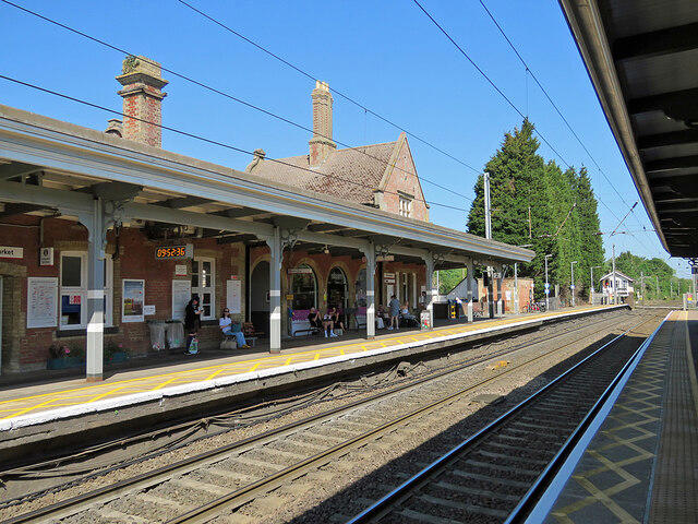
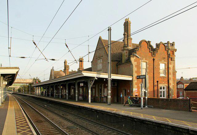
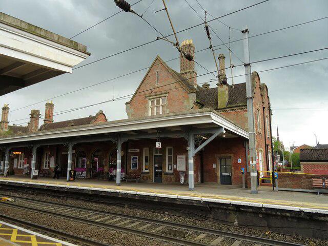
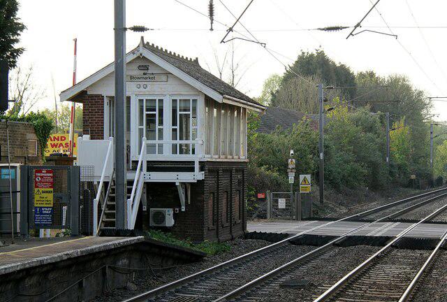
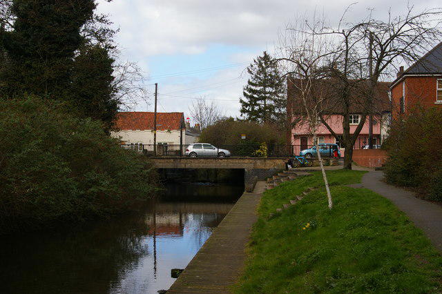
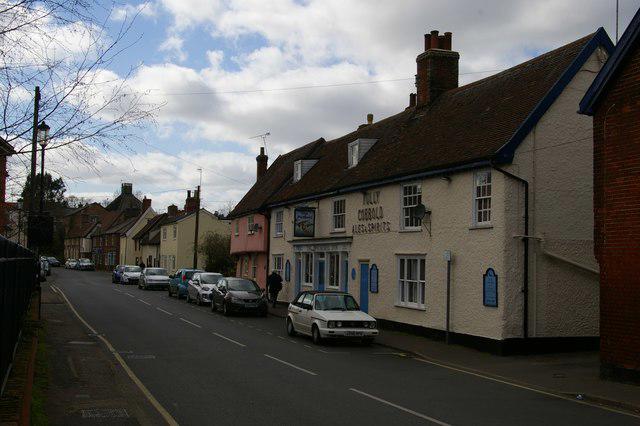
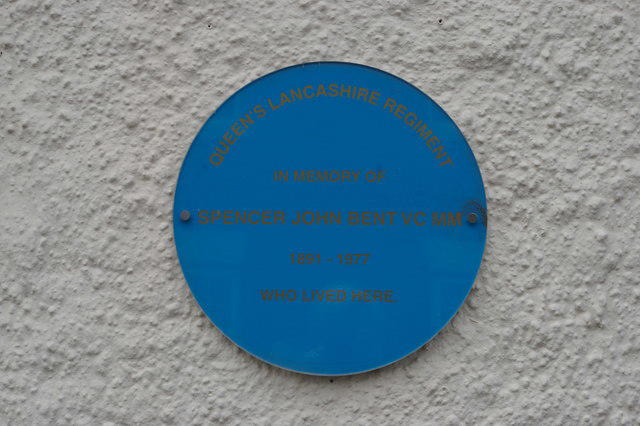
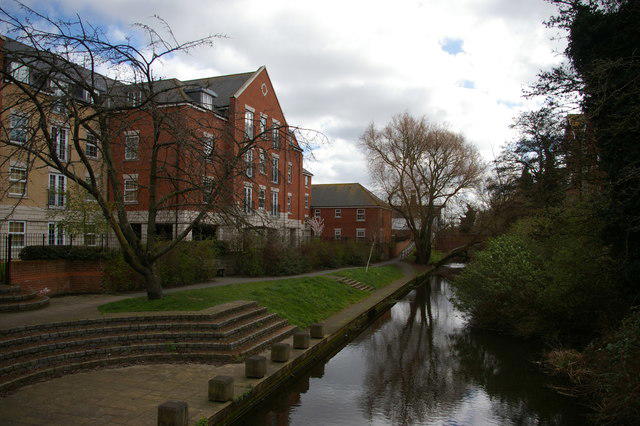
Image shared for Needham Lake to Stowmarket: River Gipping, mills and towpath
Canal / Riverside Point to point

Needham Lake to Stowmarket: River Gipping, mills and towpath

Suffolk

Distance
4.7 mi
Est. time
2h 45m
Difficulty
Medium
PaulWalkmates Route by PaulWalkmates

About this walk

Follow the Gipping Valley River Path from the main free car park at Needham Lake to Pickerel Bridge in Stowmarket. This is a one-way walk of about 7.6 km, taking around 2 hours 45 minutes at a steady pace with short stops. Plan your return before setting off: Stowmarket station is close to the finish, and Needham Market station connects to the lake through a low cattle tunnel. Check train times and fares separately.

Start beside the lake and follow the river upstream, passing Hawks Mill and its lock, the riverside meadows around Creeting and the remains of Badley Mill Lock. Stay with the signed river path rather than taking the Badley and Combs countryside alternative. The final stretch follows the water through Stowmarket’s working industrial landscape to the old navigation terminus.

Expect earth towpaths, narrow riverbank sections, gates, footbridges, boardwalks and some steps. Parts become muddy or flood after heavy rain. Keep away from river and lock edges, supervise children and keep dogs under close control. The main road bridges are passed on the riverside path; do not substitute a crossing of the carriageway.

Needham Lake has two free public car parks and toilets. The council currently lists the Duck & Teapot café as closed, so bring refreshments or use the town shops. Suffolk County Council announced the full river path reopened on 17 August 2026 after bridge and boardwalk repairs.

Route reference: River Gipping Trust Walk 2, Gipping route, with the lake car park approach; current access and facilities checked against Suffolk County Council and Mid Suffolk District Council.

Walk details

County
Suffolk
Walk type
Point to point
Category
Canal / Riverside
Distance
4.7 mi (7.6 km)
Est. time
2h 45m
Explorer
Yes, off the beaten track

Route map

Use the route details to plan your walk

If the map image does not load, the route description and starting-point details are still on this page.

The interactive map will load when you reach this section.

Where to start

Directions to start

Walking on your own?

Start when you're ready and add the walk to your history. No group date needed.

This walk is waiting for a date

Not ready to pick a date? Follow it and you'll hear when somebody else does.

No commitment. You can follow it now and pick a date later.

Joining a walk

A few things to know before you make plans.

Can I join if no one else is going?

You can be the first to join a scheduled walk. A suggested date is an idea for a group walk; choose Set this date up to organise it. Check the participant list and meeting details before setting off.

What if there is no date yet?

Choose Put a date on this walk to organise a group walk. Not ready to choose a day? Follow the route for scheduling updates, or save it for later.

What does the organiser do?

The organiser sets the date and meeting details and helps the group get started. They are a fellow walker and may be new to the route too.

Each walker is responsible for their own safety and navigation. Check the route, weather, equipment and whether the walk suits your experience and fitness.

Can I walk this route on my own?

Yes. Choose Walk this route on your own to open the start screen, then start when you are ready. Finish the walk to add it to your walking history. You do not need a group date.

What happens after I join?

Use the walk page to check meeting details, updates and who is going. Check in from 24 hours before the start to let the group know you still plan to come.

How do I confirm plans with the group?

Check the participant list and check-ins, and message the organiser or other walkers to confirm where to meet and who is coming. This is especially useful when the group is small.