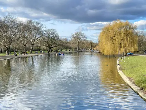
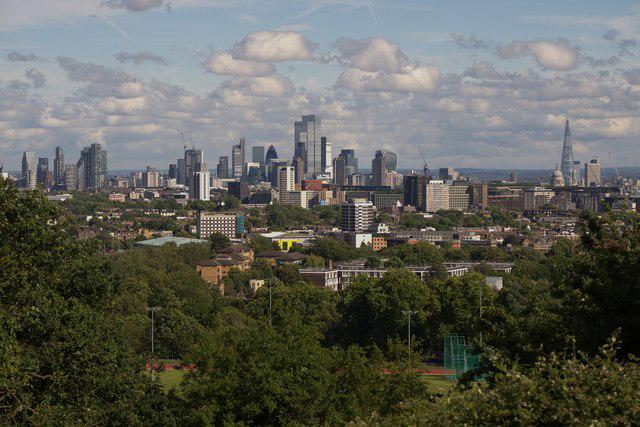
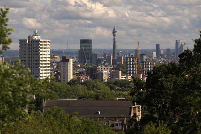
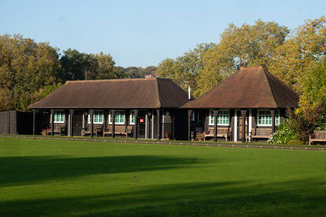
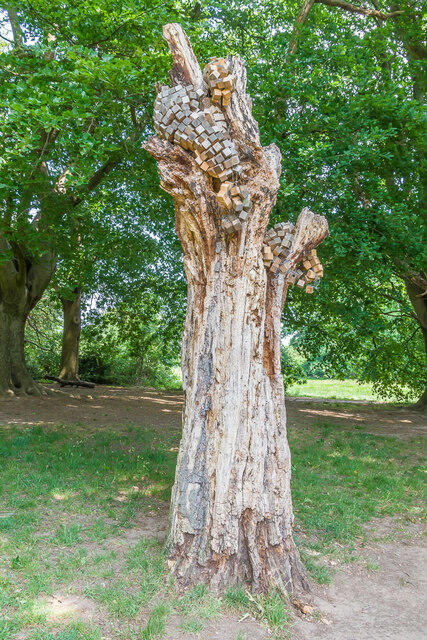
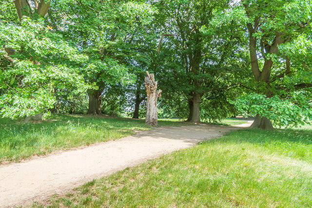
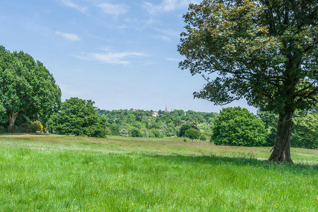
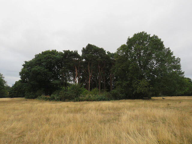
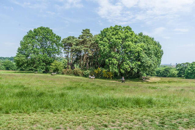
Image shared for Hampstead Heath: Parliament Hill, Highgate Ponds and the Tumulus
Park / Green space Circular

Hampstead Heath: Parliament Hill, Highgate Ponds and the Tumulus

Greater London

Distance
1.3 mi
Est. time
1h
Difficulty
Medium
PaulWalkmates Route by PaulWalkmates

About this walk

Start on the public path just outside Parliament Hill Café, beside the bandstand. This short circuit pairs the Highgate ponds with the open skyline view from Parliament Hill. Allow about an hour, including a pause at the viewpoint; the walking itself usually takes around 35–45 minutes. The plotted circuit is approximately 2.2 km.

Head northeast towards the ponds and follow their western side. Beyond the second pond, turn left onto the rising path towards the pine-topped Tumulus. Pass the mound on its northern side, then turn south along the woodland edge. Follow the path past the Saxon Ditch area, climb to Parliament Hill and return east along the broad path to the café. Keep to the mapped paths at the numerous forks rather than following shortcuts across the grass.

The pond-side paths are fairly gentle, but the western half and final climb are steeper. Surfaces include asphalt, earth and grass, with uneven ground on the woodland section. Mud, wet leaves and slippery slopes can make this harder after rain. Wear shoes with grip and walk in daylight. Stay back from the water, keep dogs under control and obey local lead and pond signs.

Entry to the Heath is free. The café and Parliament Hill toilets are useful when open. Public transport is the simplest approach, with Gospel Oak station to the south; the start pin is a walking meeting point, not a parking space. Check current access and event notices before setting out.

Route reference: City of London Corporation’s Parliament Hill and Tumulus trail and Hampstead Heath trails map: https://www.cityoflondon.gov.uk/things-to-do/green-spaces/hampstead-heath/activities-at-hampstead-heath/walks-and-trails-at-hampstead-heath

Walk details

Walk type
Circular
Category
Park / Green space
Distance
1.3 mi (2.1 km)
Est. time
1h
Explorer
Yes, off the beaten track

Route map

Use the route details to plan your walk

If the map image does not load, the route description and starting-point details are still on this page.

The interactive map will load when you reach this section.

Where to start

Directions to start

Walking on your own?

Start when you're ready and add the walk to your history. No group date needed.

This walk is waiting for a date

Not ready to pick a date? Follow it and you'll hear when somebody else does.

No commitment. You can follow it now and pick a date later.

Joining a walk

A few things to know before you make plans.

Can I join if no one else is going?

You can be the first to join a scheduled walk. A suggested date is an idea for a group walk; choose Set this date up to organise it. Check the participant list and meeting details before setting off.

What if there is no date yet?

Choose Put a date on this walk to organise a group walk. Not ready to choose a day? Follow the route for scheduling updates, or save it for later.

What does the organiser do?

The organiser sets the date and meeting details and helps the group get started. They are a fellow walker and may be new to the route too.

Each walker is responsible for their own safety and navigation. Check the route, weather, equipment and whether the walk suits your experience and fitness.

Can I walk this route on my own?

Yes. Choose Walk this route on your own to open the start screen, then start when you are ready. Finish the walk to add it to your walking history. You do not need a group date.

What happens after I join?

Use the walk page to check meeting details, updates and who is going. Check in from 24 hours before the start to let the group know you still plan to come.

How do I confirm plans with the group?

Check the participant list and check-ins, and message the organiser or other walkers to confirm where to meet and who is coming. This is especially useful when the group is small.