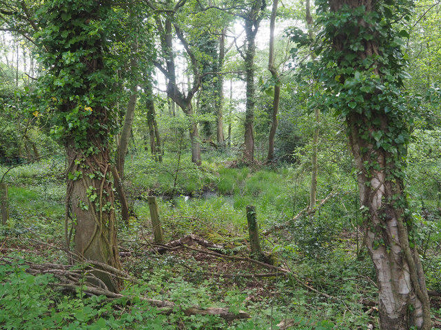
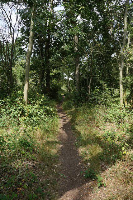
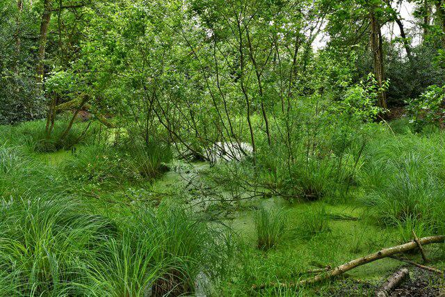
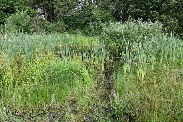
Walk the full Great Eastern Pingo Trail through the Brecks, combining an old railway line, woodland tracks and the Peddars Way. From the trail car park near Stow Bedon, head south past the edge of Cranberry Rough, then return north beside Thompson Water and through the pond-filled landscape of Thompson Common. The measured circuit is 11.6 km, close to the council’s rounded seven-mile distance. Allow three to four hours of walking, with extra time for wildlife stops. The ground is mostly gentle, but muddy paths, gates, steps and slippery boardwalks need care. About 1.24 km uses narrow lanes without pavements. Keep to the signed trail, respect military boundary signs and keep dogs on a lead in the reserve. This is a daylight countryside walk rather than a step-free route.
Start and parking: Great Eastern Pingo Trail car park, near Stow Bedon. The route starts and ends at OSM node 25969657, 52.5324649, 0.8593997, on the car-park service connection beside the trail entrance. The complete circuit remains west of the A1075; no main-road walking leg is added. Behind the lay-by off the A1075, near Stow Bedon; NR17 1DP. Official route map start TL940966; NWT gives TL940965 for the reserve. Reserve entry is free. A current parking tariff or absence of charges was not independently verified; check signs. NWT reserve open dawn to dusk daily. No separate verified car-park gate schedule. No permanent toilet facility verified at this trail car park; plan accordingly.
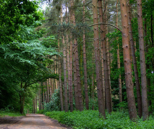
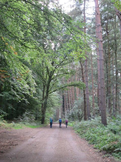
Terrain and timing: Old railway path, unpaved woodland tracks and permissive footpaths; boardwalks, gates and short steps. Narrow asphalt lanes total approximately 1.24 km, plus a short public service track and car-park connection. Mud, standing water and slick timber are possible. Editorial Moderate for 11.6 km, uneven or wet ground, steps and unpavemented traffic sections; no technical scrambling or exposed arête. Not a formal accessibility assessment. Editorial estimate of three to four walking hours, excluding longer breaks.
Follow the complete named clockwise circuit: railway south, Hockham footpath connection, Great Hockham Road and Woodcock Road, Peddars Way north, Thompson Water, Thompson Carr, Butters Hall Lane and Thompson Common.
Great Hockham Road/Woodcock Road total 0.441 km; Butters Hall Lane totals 0.797 km. These are mapped without pavements. Walk cautiously, remain visible, and give traffic room; shared tracks also carry other users.
A 74.6 m on-ground track at the southern railway-to-road connection is explicitly mapped as foot-accessible but not the definitive legal line of Hockham FP2. Forestry England’s access map places this connection in public-access freehold Hockham Heath. It is retained as the established trail connection, not described as a surveyed definitive boundary.
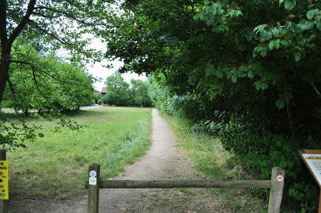
Thompson Common has permissive access, grazing animals and a dogs-on-lead policy. Use the marked paths, close gates and leave wildlife undisturbed. The current manager map confirms the northern route.
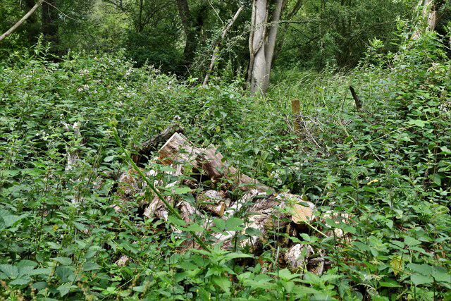
Stay on the old railway embankment beside Cranberry Rough. There are no public walking paths into its wet interior; do not use a map shortcut through the fen.
The western route follows the established Peddars Way corridor beside the military training area, then turns east onto the promoted reserve path. Do not enter restricted training land, cross military fences or ignore local warning/closure signs.
Current land-manager pages and targeted named-route closure searches were checked. No applicable closure was identified there; this is not a guarantee of same-day access or a field inspection. The council full-map pixels could not be inspected; an independent reviewer accepted documented concordance of the exact named OSM circuit with accessible authoritative maps/text and a secondary full-loop diagram.
Check trail notices before departure. If flooding, forestry work or a signed closure blocks the path, turn back rather than improvise an off-path diversion.
Return: Returns to the same dedicated trail-car-park access point. No extension to Thompson village, a pub or the separate Great Hockham forest car park is included.
Information checked on 23 October 2026. Official council full-map pixels were not inspected because both cloud and normal independent browser viewing were blocked. Exact named-circuit identity passed independent triangulation, not a pixel-by-pixel comparison to that map. Same-day ground conditions, temporary works, gate state and exact parking terms are not established by this desk review. No reliable ascent measurement or step-free suitability claim. Historical MOD information is not a substitute for current signs; the promoted trail does not authorize wider military-area access. Norfolk emergency-disruption register timed out and the National Trail information page required bot verification. No applicable closure was found in accessible current land-manager pages and targeted searches; this limited desk check is not an all-clear.
Route and visitor sources:
Norfolk County Council: Great Eastern Pingo Trail: https://www.norfolk.gov.uk/media/18903/download/pdf/pingo-trail-7-miles.pdf
Norfolk County Council: Breckland walks: https://www.norfolk.gov.uk/article/42881/Breckland-walks
Norfolk Wildlife Trust: Thompson Common: https://www.norfolkwildlifetrust.org.uk/ThompsonCommon
Norfolk Wildlife Trust: Thompson Common reserve map: https://www.norfolkwildlifetrust.org.uk/sites/default/files/2025-07/Thompson%20Common.png
Norfolk Wildlife Trust: Cranberry Rough: https://www.norfolkwildlifetrust.org.uk/CranberryRough
Forestry England: Great Hockham: https://www.forestryengland.uk/great-hockham
Forestry England: Hockham forest plan: https://www.forestryengland.uk/forest-planning/hockham-forest-plan
OpenStreetMap relation 1344471: The Great Eastern Pingo Trail: https://api.openstreetmap.org/api/0.6/relation/1344471/full
Explore Norfolk UK: Pingo Trail map: https://www.explorenorfolkuk.co.uk/support-files/pingotrailmap.pdf
Forestry England: Hockham Forest Plan 2016–2026, page7 access map: https://www.forestryengland.uk/sites/default/files/documents/Hockham%20Forest%20Plan%202016-2026_0.pdf
Ministry of Defence: East England public access, Stanford Training Area: https://www.gov.uk/guidance/east-england-public-access-to-military-areas
Route geometry: © OpenStreetMap contributors, licensed under ODbL 1.0. https://www.openstreetmap.org/copyright https://opendatacommons.org/licenses/odbl/1-0/ Original walking description. Protected source maps are references only and are not reproduced here.