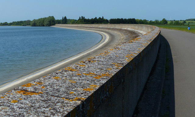
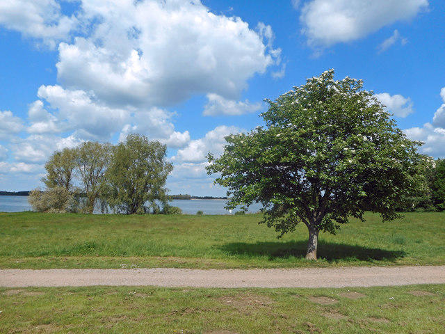
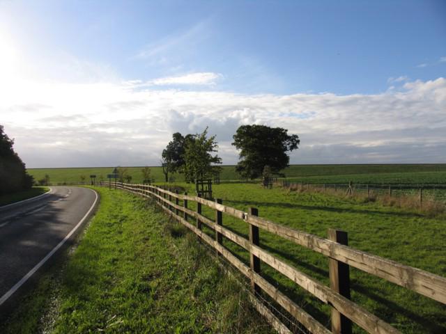
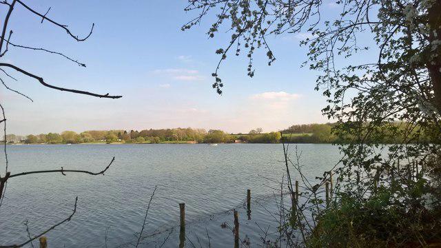
A full circuit of Grafham Water, starting at the public Marlow Park car park near the visitor centre. Walk south beside Marlow Bay, cross the dam on the surfaced shared track and continue past Plummer Park and Gaynes Cove. The southern section follows the reservoir trail to Perry, where the shared path beside the road and the Chichester Way connection lead back to Mander Park. Take care at the road crossings and car park entrances.
Continue west around Valley Creek and the wooded nature reserve, staying on the main reservoir circuit rather than taking the bird-hide paths. The route then rounds the western inlets and follows the northern shore past Sanctuary Bay, Farm Bay and Church Hill Bay, returning along Rectory Bay to Marlow Park. Allow about four hours and fifteen minutes for the roughly nine-mile circuit with short stops.
The route mixes tarmac, compacted limestone and soil, with gently rising sections. Woodland stretches can become muddy after rain. It is shared with cyclists, so leave room to pass. Cafes and toilets are at Marlow and Mander; check their opening times before relying on them. Dogs must remain on leads and out of the water.
Marlow parking is charged at £2 per hour up to five hours, then £12. Gates open at 9am and close seasonally: 6pm from 1 October, changing to 4pm from 26 October. Read the signs when arriving and return before the gates close. Anglian Water currently warns of soft mud beside the reservoir because of low water levels. Stay on the established track and do not enter exposed reservoir bed or shore margins.
Route and access information: Anglian Water Parks, Grafham Water trail map, Walking & Relaxing and Visitor Information pages, checked 4 October 2026. Check the operator notices again before visiting.