
East Ruston and Honing: Dilham Canal, old lock and country lanes
- Distance
- 6.1 mi
- Est. time
- 3h
- Difficulty
- Medium
About this walk
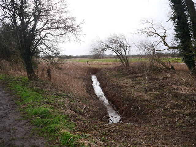
Start at the free Weavers’ Way car park on Chapel Road, East Ruston. This is the full Norfolk Trails six-mile circuit, combining the old railway, canal bank, Honing village and farmland. Allow about three hours for the walk and brief stops.
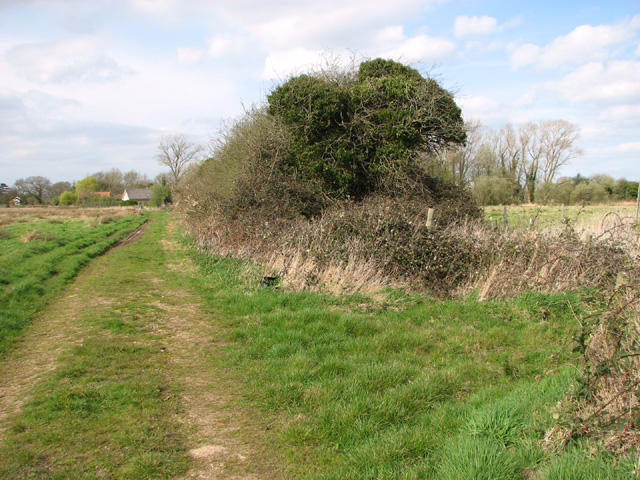
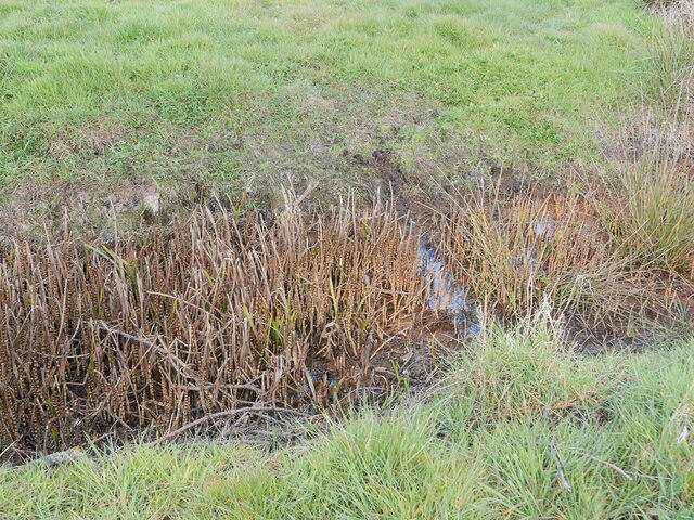
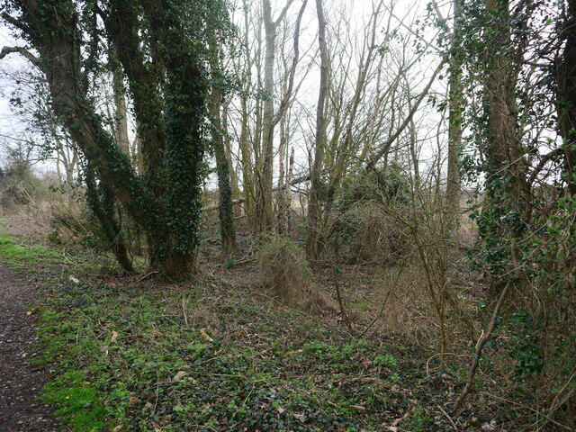
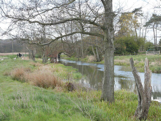
Follow Chapel Road west to the signed railway access, then take Weavers’ Way east. The field footpath leads south to Tonnage Bridge. Cross the canal and follow its western bank through the marshes and wet woodland, using the small bridges and boardwalks. At the remains of Honing Lock, cross the footbridge to the old railway, then continue towards Honing Bridge and the village.
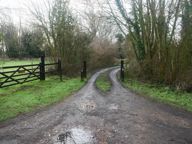
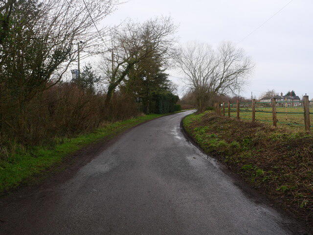
The northern loop passes St Peter and St Paul’s church, crosses fields and returns through Honing Common’s rural lanes to East Ruston. Follow the signed byway and field paths towards Drabbs Lane, then return along Chapel Road to the car park entrance.
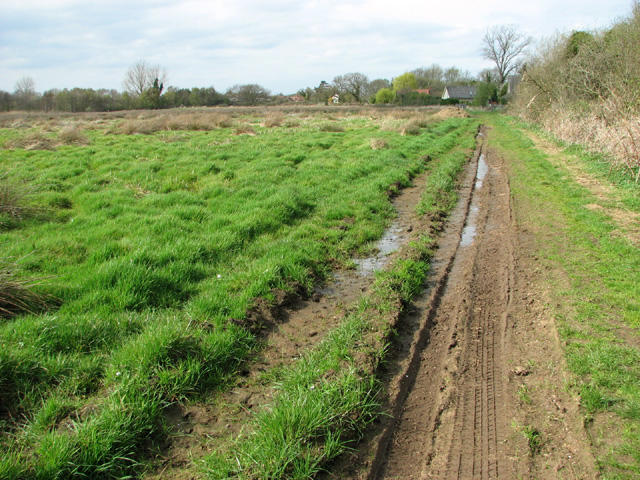
Expect grass, mud, stiles, short steps and wooden crossings, with quiet lanes that have no pavement. Some small crossings lack handrails. Keep dogs under control around grazing animals and take care near water. The marsh paths can become waterlogged; turn back if flooding obscures the route. There are no public toilets on the circuit. Bring water and check refreshments independently. Route reference: Norfolk County Council’s East Ruston circular walk map.
Walk details
- County
- Norfolk
- Walk type
- Circular
- Category
- Canal / Riverside
- Distance
- 6.1 mi (9.8 km)
- Est. time
- 3h
- Explorer
- Yes, off the beaten track
Route map
Use the route details to plan your walk
If the map image does not load, the route description and starting-point details are still on this page.
The interactive map will load when you reach this section.
Where to start
Directions to startWalking on your own?
Start when you're ready and add the walk to your history. No group date needed.
Photos
View all 100 →This walk is waiting for a date
Not ready to pick a date? Follow it and you'll hear when somebody else does.
No commitment. You can follow it now and pick a date later.
More walks nearby
Other routes starting close to this one
Coltishall to Wroxham: Bure Valley Railway Path Return
Coltishall and Horstead: River Bure, mill and Mayton circuit
Upton Marshes, River Bure and Drainage Mills
Explore more: Walks in Norfolk
Joining a walk
A few things to know before you make plans.
Can I join if no one else is going?
You can be the first to join a scheduled walk. A suggested date is an idea for a group walk; choose Set this date up to organise it. Check the participant list and meeting details before setting off.
What if there is no date yet?
Choose Put a date on this walk to organise a group walk. Not ready to choose a day? Follow the route for scheduling updates, or save it for later.
What does the organiser do?
The organiser sets the date and meeting details and helps the group get started. They are a fellow walker and may be new to the route too.
Each walker is responsible for their own safety and navigation. Check the route, weather, equipment and whether the walk suits your experience and fitness.
Can I walk this route on my own?
Yes. Choose Walk this route on your own to open the start screen, then start when you are ready. Finish the walk to add it to your walking history. You do not need a group date.
What happens after I join?
Use the walk page to check meeting details, updates and who is going. Check in from 24 hours before the start to let the group know you still plan to come.
How do I confirm plans with the group?
Check the participant list and check-ins, and message the organiser or other walkers to confirm where to meet and who is coming. This is especially useful when the group is small.
