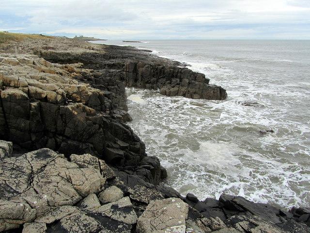
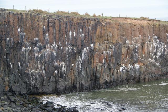
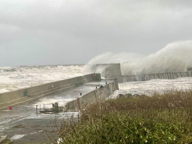
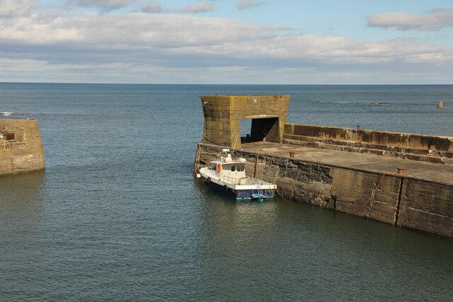
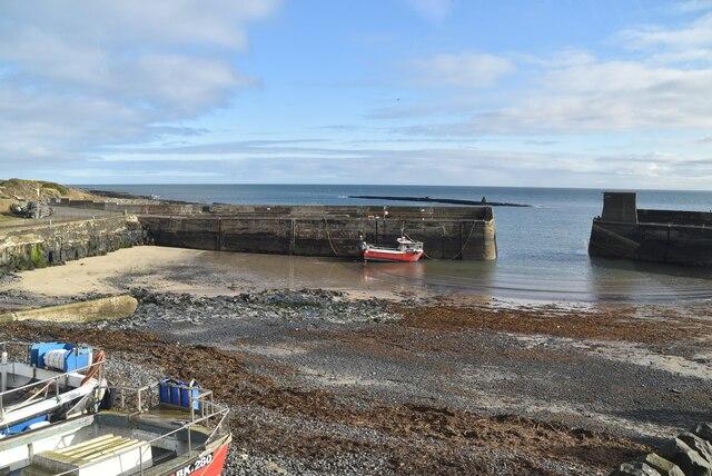
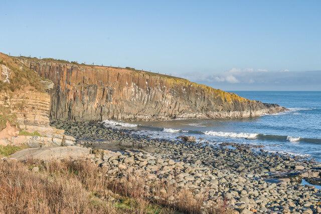
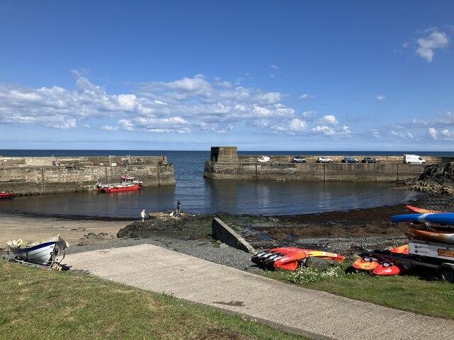
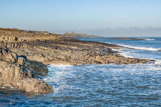
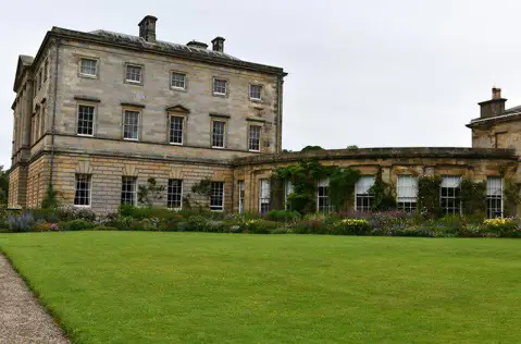
Image shared for Craster, Cullernose Point and Howick Bay
Coastal Out & back

Craster, Cullernose Point and Howick Bay

Walk

Northumberland

Distance
3.4 mi
Est. time
2h 30m
Difficulty
Medium
PaulWalkmates Route by PaulWalkmates

Save the route to find it later. Follow it to hear when a date is added.

About this walk

A coast-path out-and-back linking Craster with the dark crags of Cullernose Point and the contrasting rocks around Howick Bay. This is a shorter northern approach to the geological coast, returning the same way rather than continuing to Boulmer.

Start at the public footpath junction east of the toilets near Craster Quarry car park. Follow the mapped village paths and streets towards the harbour, then take the coastal footpath south. Stay on the signed path past Cullernose Point, continuing beside Howick Bay to the mapped turnaround on the cliff-top path. Retrace your steps to Craster. The turn is an ordinary point on the path, not a marked viewing platform; do not leave the path to reach a geological grid reference.

Cullernose is part of the Whin Sill, a sheet of dolerite formed when magma cooled underground. Its jointed rock makes a striking contrast with the layered sedimentary rocks farther south. Around Howick Bay the path passes the vicinity of a major fault, where movement brought different parts of the Carboniferous succession together. Look across the bay from the path, but expect the detail visible in the shore exposures to vary with tide and conditions. This route does not descend onto the foreshore.

Allow around 2ยฝ hours for the 5.5 km walk and short stops; this is an estimate. There are village roads, uneven coastal paths and gates, with exposed, sometimes unfenced edges. Wear suitable footwear, keep dogs under close control and avoid the coast in dangerous winds or storms. Follow any temporary notices and turn back if conditions deteriorate.

Paid parking is available at Craster Quarry; check current charges and arrangements. Toilets are near the start, subject to availability. This walk does not enter Howick Hall gardens or Dunstanburgh Castle, and no admission ticket is required for the mapped public route.

Geological background: Geological Society: coast around Craster and Geological Conservation Review: Cullernose Point. Check current Northumberland public rights of way information and local signs before walking. Map data ยฉ OpenStreetMap contributors, ODbL 1.0.

Walk details

Walk type
Out & back
Category
Coastal
Distance
3.4 mi (5.5 km)
Est. time
2h 30m
Explorer
Yes, off the beaten track

Route map

Use the route details to plan your walk

If the map image does not load, the route description and starting-point details are still on this page.

The interactive map will load when you reach this section.

Where to start

Directions to start

Walking on your own?

Start when you're ready and add the walk to your history. No group date needed.

Make this route part of your day

For walkers

Saving and preparing a route

Watch: portrait video or landscape video.

Saving and preparing a route

Read the steps
  1. Open a route and read the practical notes.
  2. Save it to your Saved Walks, then open it again from there.
  3. Check the route map and elevation profile before setting off. Reopen the details on the day.

Saved Walks needs an account. Reopening the website needs a connection; check access, weather and your own navigation before you go.

See how to plan a walk with others

This walk is waiting for a date

Not ready to pick a date? Follow it and you'll hear when somebody else does.

No commitment. You can follow it now and pick a date later.

Along the route

12 places
Parking
Essentials
Parking
Essentials
Robson & Sons - Craster Seafood
Restaurant ยท 0.1 mi along
Parking
Essentials ยท 0.2 mi along
Craster Seafood Restaurant
Restaurant ยท 0.2 mi along
Guidepost
Navigation ยท 0.2 mi along
Guidepost
Navigation ยท 0.2 mi along
Jolly Fisherman
Pub ยท 0.2 mi along
Shelter
Essentials ยท 0.3 mi along
Guidepost
Navigation ยท 0.4 mi along
Guidepost
Navigation ยท 1.3 mi along
Guidepost
Navigation ยท 1.5 mi along

Terms of Service

Joining a walk

A few things to know before you make plans.

Can I join if no one else is going?

You can be the first to join a scheduled walk. A suggested date is an idea for a group walk; choose Set this date up to organise it. Check the participant list and meeting details before setting off.

What if there is no date yet?

Choose Put a date on this walk to organise a group walk. Not ready to choose a day? Follow the route for scheduling updates, or save it for later.

What does the organiser do?

The organiser sets the date and meeting details and helps the group get started. They are a fellow walker and may be new to the route too.

Each walker is responsible for their own safety and navigation. Check the route, weather, equipment and whether the walk suits your experience and fitness.

Can I walk this route on my own?

Yes. Choose Walk this route on your own to open the start screen, then start when you are ready. Finish the walk to add it to your walking history. You do not need a group date.

What happens after I join?

Use the walk page to check meeting details, updates and who is going. Check in from 24 hours before the start to let the group know you still plan to come.

How do I confirm plans with the group?

Check the participant list and check-ins, and message the organiser or other walkers to confirm where to meet and who is coming. This is especially useful when the group is small.