
Windy Hill
Good walks are even better shared.
Overview
Windy Hill
Introduction
Nestled in Greater Manchester, Windy Hill stands proudly at an elevation of 297 meters, with a prominence of 40 meters. This Marilyn provides splendid views and a rewarding hike for those looking to stretch their legs.
Geology
Windy Hill is primarily made up of Pennine sandstone, which means you'll find a mix of rocky outcrops and lush moorland. It's the kind of place where you can almost hear the rocks whispering tales of the geological wonders beneath your feet.
Routes
One of the most popular routes is from the M62. It's a direct path that leads you straight to the summit and offers a decent workout. Be prepared for an ascent that might leave your legs trembling and your heart racing.
Trail Details
- Distance: Approx. 3.5 km
- Estimated Time: 1.5 hours
- Difficulty: Moderate
Summit Features
At the top, you'll find a robust trig point - a perfect spot for a quick selfie to prove you made it. Don’t forget to take in the panoramic views that make the climb worth every step.
Terrain Type
Expect a rocky and heather-covered terrain; sturdy footwear is highly recommended unless you fancy a bit of a slip and slide!
Views
When the weather plays nice, the views are nothing short of spectacular. Distant peaks of the Pennines stretch as far as the eye can see, while the urban sprawl of Manchester lies to the south. The best seasons to enjoy these vistas are spring and autumn when nature puts on a colourful display.
Hazards
Despite its charm, Windy Hill can be a tad unpredictable – much like British weather! Be prepared for sudden gusts and watch your footing on slippery stones, especially after a rain shower.
Nearby Summits
If Windy Hill has whetted your appetite for more, consider tackling nearby A635 Moss or Gallows Hill to extend your adventure!
Access
Parking is available in a layby off the A672, perfect for a quick stop before your ascent. Public transport options include the bus service from Manchester city centre to Dobcross, which is only a short walk from the starting point.
Facilities
After working up an appetite, you can find a couple of welcoming pubs in Dobcross where a refreshing pint awaits you. Make sure to check out the local charm!
History
As for its name, it’s aptly titled ‘Windy Hill,’ a nod to the breezy conditions atop. Historically, it has served as a lookout during various conflicts, offering strategic views of the landscape.
Conclusion
So, grab your walking boots and head to Windy Hill. It’s not just a hike; it’s an experience that will leave you with stunning memories, sore calves, and perhaps a tasty pint at the end!
Explore routes near Windy Hill
Walks starting near this hill. Open a route to check its map, distance and full itinerary.
Bishop’s Glen group walk
View route
West Bay walk and talk
View route
West Bay walk and talk
View route
West Bay morning walk and silent disco
View route
Route planning notes
These notes describe possible approaches. Check a route's map and access information when planning your walk.
M62 to Windy Hill
A direct route from the busy M62 with a steep ascent leading to spectacular views.
Make a day of it, together
Find someone to share the walk with, or organise a day out along a route you like.
Hill facts and local notes
Classifications
Elevation
278m
912 ft
Prominence
278m
Coordinates
55.8820, -5.1295
NS043698
OS Map
63
Explorer: 362S
At the Summit
The summit features a substantial trig point, perfect for the obligatory selfie that will surely earn you a few 'likes'.
Terrain & Geology
Primarily composed of Pennine sandstone, Windy Hill boasts rugged outcrops and sweeping heather-clad moorlands, typical of the area.
Views & Scenery
You can see the distant peaks of the Pennines and the sprawling cityscape of Manchester.
History & Heritage
Name Origin
Windy Hill is aptly named, reflecting its breezy summit conditions.
Historical Significance
Historically, the hill served as a lookout point during past conflicts, giving vantage over the surrounding area.
Getting There & Facilities
Parking
There's a layby on the A672 where you can park, but don't expect a five-star car park.
Public Transport
Buses run from Manchester city centre to nearby Saddleworth, a short walk from the starting point.
Nearby Facilities
There are a couple of charming pubs in nearby Dobcross, perfect for a refreshing pint after your hike, as well as public toilets at the village centre.
Safety Information
Known Hazards
- Watch out for unpredictable weather, as the name suggests, and beware of slippery rocks after rain.
General Safety Tips
- Check weather conditions before setting out
- Carry appropriate clothing and equipment
- Let someone know your planned route
- Take a map, compass, and GPS device
- Carry emergency supplies: food, water, first aid kit, torch
Hills
Some common questions about the hills answered
Are there group walks up Windy Hill?
Many walkers use Walkmates to join or organise walks with others. You can check for group walks around Windy Hill through the maps
Are there other walkers around Windy Hill?
Activity varies by location and time, but Walkmates lets you see whether others have shared walks or shown interest in this area. Find other people through the walking friends search walking friends for Windy Hill search or of course create your own walk for Windy Hill
Can I organise a walk to Windy Hill?
Yes. If there aren’t any walks listed already, you can create a walk and make it available for others to join.
If you're signed up to Walkmates, you can create a walk to Windy Hill.
How do I find a walk up this hill?
There are often multiple ways to walk this hill, depending on experience and route preference. Walkmates helps you explore walks and routes that others have shared.
Can I suggest a new route up Windy Hill?
Yes. You can suggest or create routes to share with others. Walkmates focuses on the social side of walking, so routes are used to help people organise walks and explore areas together, rather than as detailed navigation tools or route libraries.
Other uses really appreciate knowledgeable walkers sharing their routes. Share your favourite route to Windy Hill here
The is an error or something incorrect about this hill. How do I let you know?
We always strive to keep the information on Walkmates as accurate as possible. If you find an error, please let us know through the contact form and we'll aim to correct it as quickly as possible
Community Discussion
Comments
Location
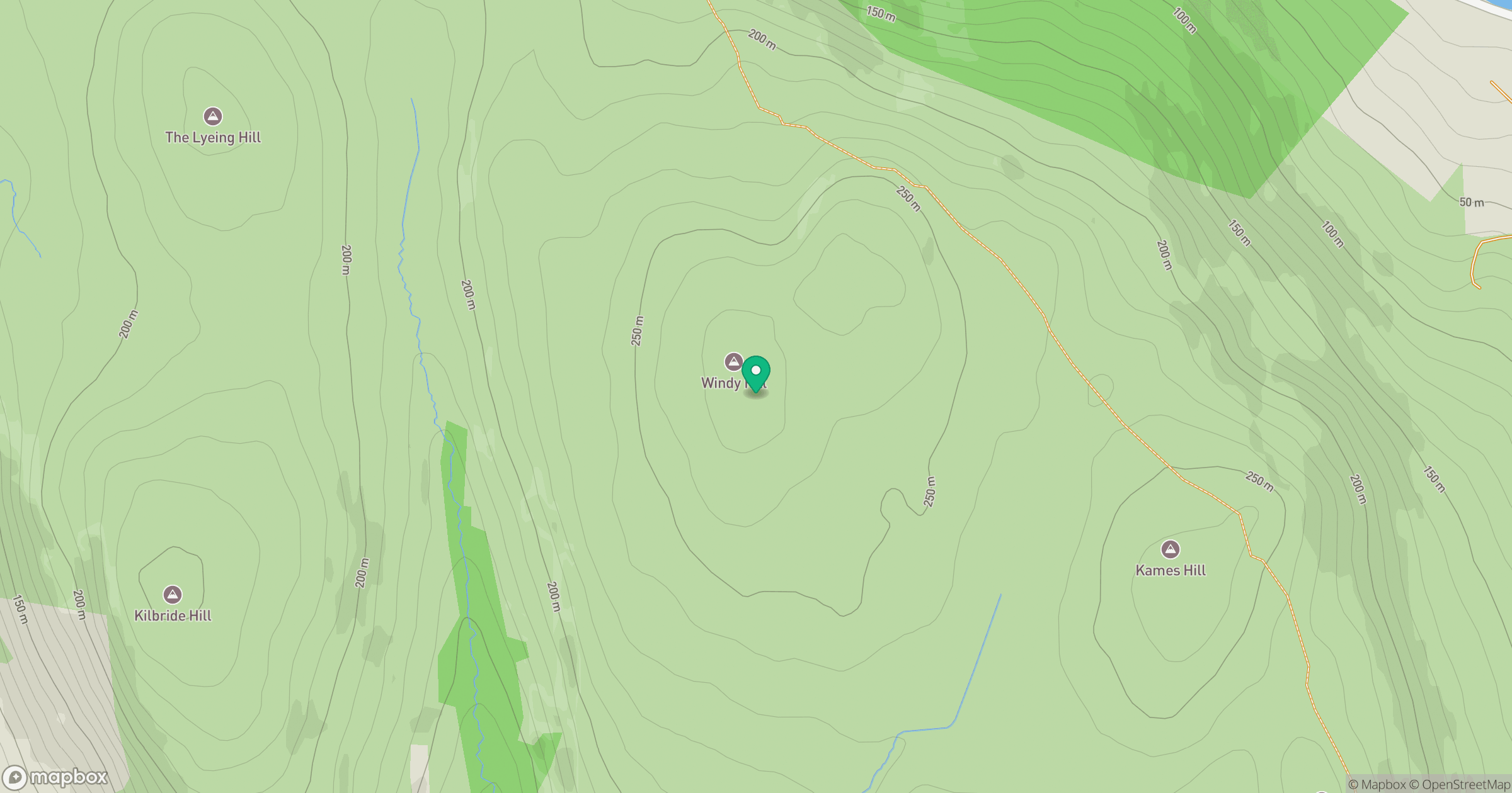
Grid reference: NS043698
View on OpenStreetMapOpens a map in a new tab, centred on the hill.
Nearby Hills
Cir Mhor
798m
Goatfell [Goat Fell]
875m
Beinn Ghlas
420m
![The Cobbler [Ben Arthur]](https://cdn.walkmates.com/gallery-images/a1b697040769474a8338b3fb586ebc7a.jpg)
The Cobbler [Ben Arthur]
887m
Beinn Ime
1,012m
No comments yet. Be the first.